Old Maps of Woden, Iowa for Hiking & Exploration
Hike through history with 10 historic maps of Woden. Explore old trails, ghost towns, and forgotten backroads — perfect for outdoor adventurers and local explorers.
- Rediscover forgotten places: Map out old mining camps, roads, and footpaths that no longer exist on modern maps.
- Layer with modern tools: Combine with LiDAR or satellite views to plan hikes through historical terrain.
- Made for exploration: Popular among hikers, overlanders, and local history lovers.
Use these maps to find adventure and explore the hidden past of Woden.
Woden, IA maps
(10)- 1954 Map of Mason City, 1967 Print
 1954 Mason City1967 Print · USGSSouthern Minnesota and northern Iowa are shown here at the height of the mid-century rail era, centered on the regional hubs of Mason City and Rochester. Researchers can trace the vanished paths of the Chicago Great Western and find local landmarks like Pilot Knob and Bear Lake.2 unique versions available
 - 1957 Map of Mason City
 1957 Mason City1957 Print · USGSThe Minnesota-Iowa border region comes alive in this mid-century survey, from the industrial plants of Mason City to the medical hub of Rochester. Researchers can trace the rail-and-river economy through the Chicago Great Western Railway and the Shell Rock River.
 - 1958 Map of Mason City
 1958 Mason City1958 Print · USGSSouthern Minnesota and northern Iowa are shown during the mid-fifties when railroads still anchored the regional economy. Genealogists and historians can trace the intricate rail networks of the Illinois Central and find local landmarks in Mason City, Albert Lea, and Austin.
 - 1972 Map of Woden, 1975 Print
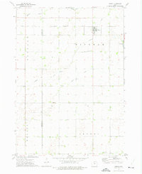 1972 Woden1975 Print · USGSWoden and the surrounding Iowa townships are shown here in the early seventies, caught in a moment of quiet rural stability. Genealogists and local historians can trace the Chicago Rock Island and Pacific rail line and locate landmarks like Woden Ch or the Township Cem.
 - 1985 Map of Mason City
 1985 Mason City1985 Print · USGSThe Northern Iowa and Southern Minnesota borderlands are captured here in the mid-eighties, showing a region defined by agricultural drainage and rail heritage. Genealogists and historians can trace the grid of rural townships and find local landmarks like Pilot Knob State Park, Nora Springs, and Clear Lake State Park.2 unique versions available
 - 2010 Map of Woden, 2010 Print
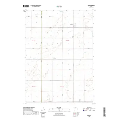
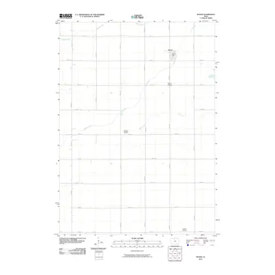 2010 Woden2010 Print · USGSCovers Woden, including Kossuth County, Hancock County, and other nearby areas
 - 2013 Map of Woden, 2013 Print
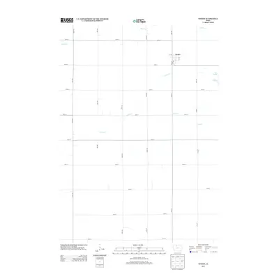 2013 Woden2013 Print · USGSCovers Woden, including Kossuth County, Hancock County, and other nearby areas
 - 2015 Map of Woden, 2015 Print
 2015 Woden2015 Print · USGSCovers Woden, including Kossuth County, Hancock County, and other nearby areas
 - 2018 Map of Woden, 2018 Print
 2018 Woden2018 Print · USGSCovers Woden, including Kossuth County, Hancock County, and other nearby areas
 - 2022 Map of Woden, 2022 Print
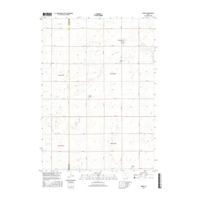
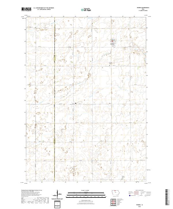 2022 Woden2022 Print · USGSThis rural portion of Hancock and Kossuth counties is shown as it appeared in the early twenty-first century. Genealogists and local historians can locate rural landmarks like Bingham Township Cem and Christian Reformed Cem near the town of Woden.
End of results
Showing maps 1-10 of 10
Top cities near Woden
- Britt historical maps
- Buffalo Center historical maps
- Titonka historical maps
- Thompson historical maps
- Wesley historical maps
- Lakota historical maps
See more
Frequently asked questions
- What are the different types of historical maps available for Woden?
- What is the oldest map of Woden?
- Where can I purchase historical maps of Woden for my home or office?
- Where can I download high-res historical maps of Woden?
- Are there historical topographic maps available for Woden?
- Is there historical aerial imagery available for Woden?
- Where are historical maps of Woden sourced from?