Old Maps of Alden, Iowa for Genealogy
Trace your family roots with 23 historic maps of Alden. These high-res maps reveal old neighborhoods, homesites, landmarks, and streets — helping you uncover where your ancestors lived and how the area evolved over time.
- Explore historic neighborhoods: Identify where your relatives may have lived in the 1800s or 1900s.
- Compare maps over time: Trace the changes in streets, buildings, and landmarks for multi-generational research.
- Perfect for genealogy & ancestry research: Used by family historians and researchers to map out lineage and migration.
These maps are an incredible resource for exploring your personal connection to Alden's past.
Alden, IA maps
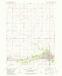
(23)- 1954 Map of Waterloo, 1968 Print
 1954 Waterloo1968 Print · USGSCentral Iowa at the height of its mid-century agricultural and rail boom features the growing hubs of Waterloo and Cedar Falls. Genealogists and researchers can trace the rail corridors of the Chicago Great Western and find local landmarks like Iowa State College and Brushy Ridge.4 unique versions available
 - 1955 Map of Waterloo
 1955 Waterloo1955 Print · USGSCentral Iowa in the mid-fifties presents a dense landscape of rail-connected farming towns and growing river cities. Researchers can trace ancestral roots and old transport routes through Waterloo, Marshalltown, and Ames, while locating rural Cemeteries and local Quarries.2 unique versions available
 - 1979 Map of Iowa Falls West, 1980 Print
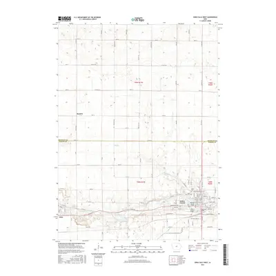
 1979 Iowa Falls West1980 Print · USGSHardin and Franklin Counties are defined by the winding Iowa River and a robust rail network in the late 1970s. Researchers can trace the development of Iowa Falls, from its many schools and Ellsworth Community College to the rural Lee Center Ch.
 - 1979 Map of Buckeye West, 1980 Print
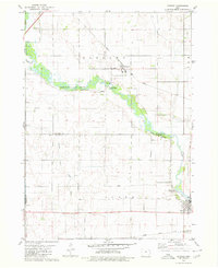
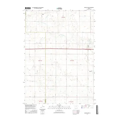
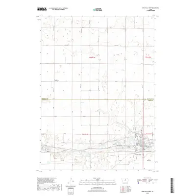
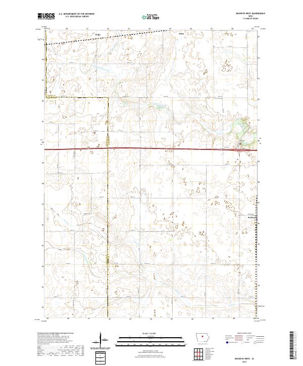
 1979 Buckeye West1980 Print · USGSHardin County agriculture and rail transport intersect in the late 1970s as the Chicago and North Western crosses this prairie landscape. Genealogists and local historians can trace the area around Buckeye, find the Buckeye Cem, and locate the Flowing Well County Park along the river.
 - 1979 Map of Popejoy, 1980 Print
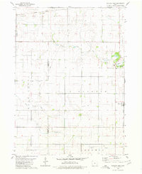
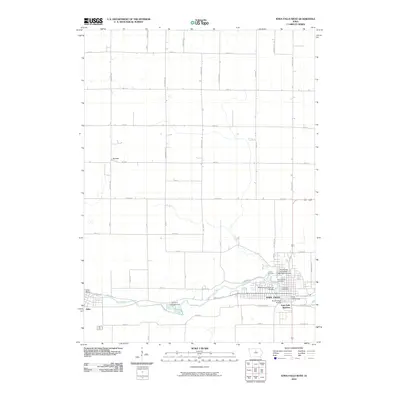
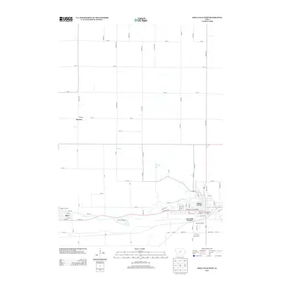
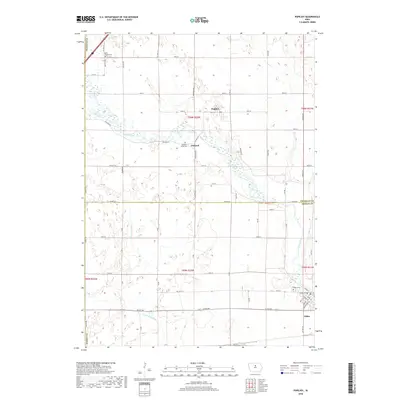
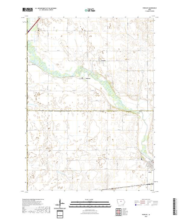
 1979 Popejoy1980 Print · USGSThe prairie landscape around Popejoy and Alden is captured here as it appeared in the late seventies. Family historians and researchers can locate the Otis Grove Cem and trace the paths of the Chicago Rock Island and Pacific railroad.
 - 1984 Map of Iowa Falls, 1985 Print
 1984 Iowa Falls1985 Print · USGSNorth-central Iowa is documented here during the mid-eighties, showing a landscape of traditional rail towns and extensive wildlife management areas. Researchers can trace family history through settlements like Belmond, Dows, and Ackley, or locate landmarks like Beeds Lake State Park.2 unique versions available
 - 1985 Map of Ames
 1985 Ames1985 Print · USGSCentral Iowa's prairie landscape in the mid-eighties shows a well-established network of rail towns and conservation areas. Genealogists and historians can trace the paths of the Lincoln Highway and the Chicago and North Western line connecting Ames, Boone, and Webster City.
 - 1993 Map of Ames
 1993 Ames1993 Print · USGSCentral Iowa in the early nineties shows a landscape of river-fed parklands and growing academic centers. Genealogists and researchers can trace local church sites like Sts Peter and Paul Ch or navigate the corridors of the Chicago and North Western through towns like Hubbard and Stanhope.
 - 2010 Map of Buckeye West, 2010 Print
 2010 Buckeye West2010 Print · USGSCovers Alden, including Buckeye, Williams Township, and other nearby areas
 - 2010 Map of Iowa Falls West, 2010 Print
 2010 Iowa Falls West2010 Print · USGSCovers Alden, including Iowa Falls, Burdette, and other nearby areas
 - 2010 Map of Popejoy, 2010 Print
 2010 Popejoy2010 Print · USGSCovers Alden, including Popejoy, Oakland, and other nearby areas
 - 2013 Map of Popejoy, 2013 Print
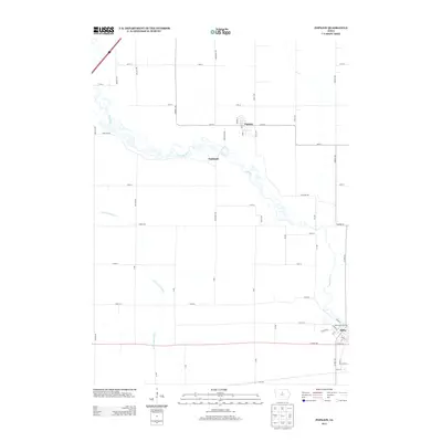 2013 Popejoy2013 Print · USGSCovers Alden, including Popejoy, Oakland, and other nearby areas
 - 2013 Map of Buckeye West, 2013 Print
 2013 Buckeye West2013 Print · USGSCovers Alden, including Buckeye, Williams Township, and other nearby areas
 - 2013 Map of Iowa Falls West, 2013 Print
 2013 Iowa Falls West2013 Print · USGSCovers Alden, including Iowa Falls, Burdette, and other nearby areas
 - 2015 Map of Buckeye West, 2015 Print
 2015 Buckeye West2015 Print · USGSCovers Alden, including Buckeye, Williams Township, and other nearby areas
 - 2015 Map of Iowa Falls West, 2015 Print
 2015 Iowa Falls West2015 Print · USGSCovers Alden, including Iowa Falls, Burdette, and other nearby areas
 - 2015 Map of Popejoy, 2015 Print
 2015 Popejoy2015 Print · USGSCovers Alden, including Popejoy, Oakland, and other nearby areas
 - 2018 Map of Popejoy, 2018 Print
 2018 Popejoy2018 Print · USGSCovers Alden, including Popejoy, Oakland, and other nearby areas
 - 2018 Map of Iowa Falls West, 2018 Print
 2018 Iowa Falls West2018 Print · USGSCovers Alden, including Iowa Falls, Burdette, and other nearby areas
 - 2018 Map of Buckeye West, 2018 Print
 2018 Buckeye West2018 Print · USGSCovers Alden, including Buckeye, Williams Township, and other nearby areas
 - 2022 Map of Iowa Falls West, 2022 Print
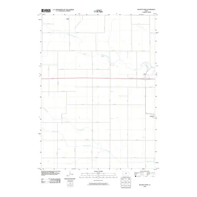
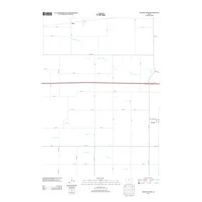
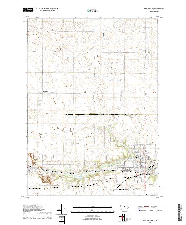 2022 Iowa Falls West2022 Print · USGSCrossing the border of Franklin and Hardin counties, this Iowa landscape centers on the river-fed growth of the early 2020s. Genealogists and local researchers can trace sites like Union Cem and Saint Mark's Cem near the banks of the Iowa River.
 - 2022 Map of Popejoy, 2022 Print
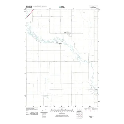
 2022 Popejoy2022 Print · USGSFranklin and Hardin counties are seen here in the early twenty-first century, centered on the river-fed agricultural plains of Iowa. Researchers can trace family history through local burial sites like Oak Hill Cem and the riverfront street grid of Alden.
 - 2022 Map of Buckeye West, 2022 Print
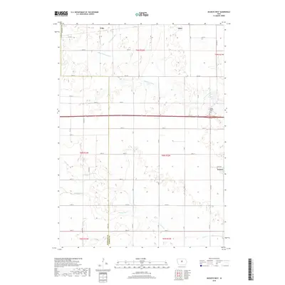
 2022 Buckeye West2022 Print · USGSHardin and Hamilton counties are shown here as they appeared recently, defined by a grid of farm-to-market roads and prairie drainage systems. Genealogists and local historians can trace the area around Buckeye and Wilke, including the Buckeye Cem and the course of the S Fork Iowa River.
End of results
Showing maps 1-23 of 23
Top cities near Alden
- Iowa Falls historical maps
- Hampton historical maps
- Jewell Junction historical maps
- Hubbard historical maps
- Radcliffe historical maps
- Dows historical maps
See more
Frequently asked questions
- What are the different types of historical maps available for Alden?
- What is the oldest map of Alden?
- Where can I purchase historical maps of Alden for my home or office?
- Where can I download high-res historical maps of Alden?
- Are there historical topographic maps available for Alden?
- Is there historical aerial imagery available for Alden?
- Where are historical maps of Alden sourced from?