Old Maps of Magnolia, Iowa for Academic Research
Study the evolution of Magnolia with 16 high-resolution historic maps. Whether you're teaching, researching, or modeling changes in land use, these maps provide essential visual documentation of urban, environmental, and geographic change.
- Analyze long-term change: Track patterns in development, transportation, and natural features.
- Ideal for environmental or urban studies: Support academic projects with primary historical map data.
- Use in the classroom or lab: Educators and researchers rely on these maps to bring historical context to life.
These maps are a powerful tool for teaching, research, and visualizing how Magnolia has changed over the decades.
Magnolia, IA maps
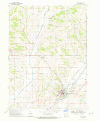
(16)- 1954 Map of Omaha, 1967 Print
 1954 Omaha1967 Print · USGSMid-century development radiates from the river bluffs into the agricultural heartland during this period of post-war growth. Genealogists and historians can trace rail-connected towns like Atlantic and Red Oak or locate the sprawling grounds of Offutt Air Force Base and Manawa Lake.3 unique versions available
 - 1957 Map of Omaha
 1957 Omaha1957 Print · USGSWestern Iowa and the Missouri River valley are seen here in the mid-fifties during the height of the rail-and-road era. Researchers can trace the sprawling rail lines of the Chicago And North Western or locate Cold War landmarks like Offutt Air Force Base.
 - 1958 Map of Omaha
 1958 Omaha1958 Print · USGSOmaha and Council Bluffs stand at the center of this mid-fifties landscape, where the Missouri River splits the urban plains of Nebraska from the rolling hills of western Iowa. Genealogists can trace the rail lines of the Wabash RR and Illinois Central RR to rural settlements like Missouri Valley and Red Oak.2 unique versions available
 - 1970 Map of Logan, 1972 Print
 1970 Logan1972 Print · USGSHarrison County in the early seventies shows the vital connection between the Boyer River and the local rail network. Researchers can trace the layout of Logan and Magnolia, locating landmarks like Boyer Cem and the local Landing Strip.
 - 1970 Map of Missouri Valley NW, 1972 Print
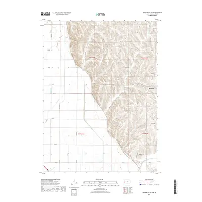
 1970 Missouri Valley NW1972 Print · USGSHarrison County was a landscape of stark contrasts in the early seventies, where rugged loess hills dropped sharply into engineered valley farmlands. Genealogists can trace family roots at Magnolia Cem or Calhoun Cem and locate local landmarks like the Landing Strip.
 - 1980 Map of Harlan
 1980 Harlan1980 Print · USGSWestern Iowa and the Nebraska borderlands are shown in the early eighties as a vital corridor of rail and river commerce. Genealogists and local historians can trace family roots through old rural crossroads like Beebeetown and Westphalia, or locate landmarks like Rose Hill Cem.
 - 2010 Map of Logan, 2010 Print
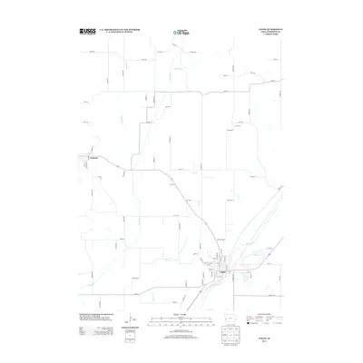
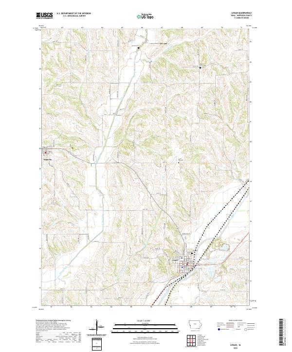
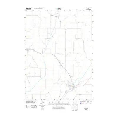 2010 Logan2010 Print · USGSCovers Magnolia, including Logan, Harrison County, and other nearby areas
 - 2010 Map of Missouri Valley NW, 2010 Print
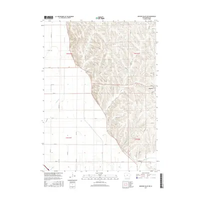
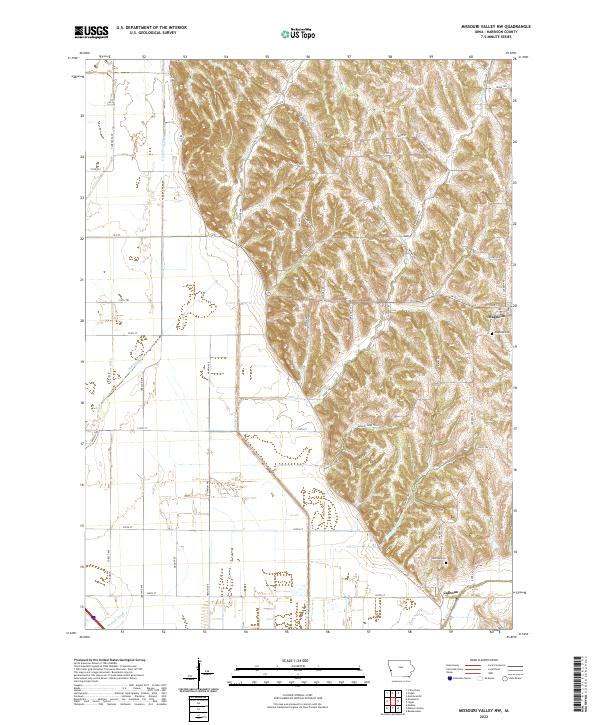
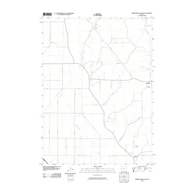 2010 Missouri Valley NW2010 Print · USGSCovers Magnolia, including Calhoun, Echo, and other nearby areas
 - 2013 Map of Missouri Valley NW, 2013 Print
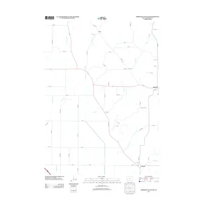 2013 Missouri Valley NW2013 Print · USGSCovers Magnolia, including Calhoun, Echo, and other nearby areas
 - 2013 Map of Logan, 2013 Print
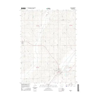
 2013 Logan2013 Print · USGSCovers Magnolia, including Logan, Harrison County, and other nearby areas
 - 2015 Map of Missouri Valley NW, 2015 Print
 2015 Missouri Valley NW2015 Print · USGSCovers Magnolia, including Calhoun, Echo, and other nearby areas
 - 2015 Map of Logan, 2015 Print
 2015 Logan2015 Print · USGSCovers Magnolia, including Logan, Harrison County, and other nearby areas
 - 2018 Map of Logan, 2018 Print
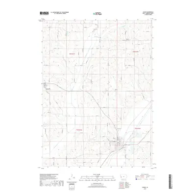 2018 Logan2018 Print · USGSCovers Magnolia, including Logan, Harrison County, and other nearby areas
 - 2018 Map of Missouri Valley NW, 2018 Print
 2018 Missouri Valley NW2018 Print · USGSCovers Magnolia, including Calhoun, Echo, and other nearby areas
 - 2022 Map of Logan, 2022 Print
 2022 Logan2022 Print · USGSHarrison County’s agricultural heartland is documented here in the early twenty-first century, centered on the Boyer River valley. Genealogists and local historians can locate early burial grounds like Biglers Grove Cem and the Harrison County Courthouse in Logan.
 - 2022 Map of Missouri Valley NW, 2022 Print
 2022 Missouri Valley NW2022 Print · USGSHarrison County settlement patterns are on full display in this modern survey of the loess hills and river bottoms. Family researchers can pinpoint Magnolia Cem and trace water routes from Willow Creek to the engineered Modale Ditch.
End of results
Showing maps 1-16 of 16
Top cities near Magnolia
- Blair historical maps
- Missouri Valley historical maps
- Woodbine historical maps
- Logan historical maps
- Mondamin historical maps
- Modale historical maps
See more
Frequently asked questions
- What are the different types of historical maps available for Magnolia?
- What is the oldest map of Magnolia?
- Where can I purchase historical maps of Magnolia for my home or office?
- Where can I download high-res historical maps of Magnolia?
- Are there historical topographic maps available for Magnolia?
- Is there historical aerial imagery available for Magnolia?
- Where are historical maps of Magnolia sourced from?