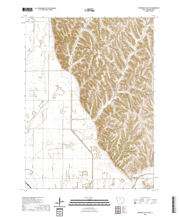
2022 Map of Missouri Valley NW
USGS Topo · Published 2022About this map
The rugged bluff-and-valley topography of Harrison County is sharply defined where the eastern loess hills meet the flat agricultural bottoms of the Missouri River valley. The settlement of Magnolia sits perched atop the higher ground, serving as a historic anchor for the surrounding rural townships. This landscape is a complex network of natural drainages like Willow Creek and Steer Cr alongside heavily engineered water management systems such as the E Soldier Ditch and Modale Ditch, which were developed to facilitate farming on the fertile floodplain.
Find a feature on this map
54 named features on this map. Tap any name to fly to it.
Don’t see what you’re looking for? This feature index may not catch every label — zoom into the map to look around manually.
Map Details
Editions of this 2022 Missouri Valley NW Map
This is the sole edition of this map. No revisions or reprints were ever made.
Historical Maps of Magnolia Through Time
10 maps found
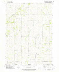
1970 Beebeetown
Harrison County, IA

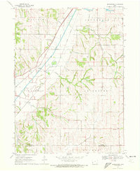
1970 Missouri Valley NW
Harrison County, IA
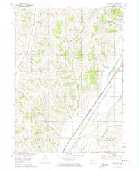
1971 Dunlap SW
Harrison County, IA
1971 Moorhead SE
Harrison County, IA
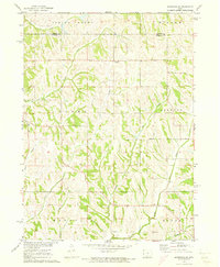
1978 Hard Scratch
Harrison County, IA
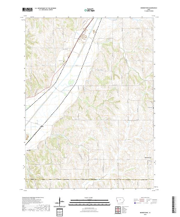
2022 Beebeetown
Harrison County, IA
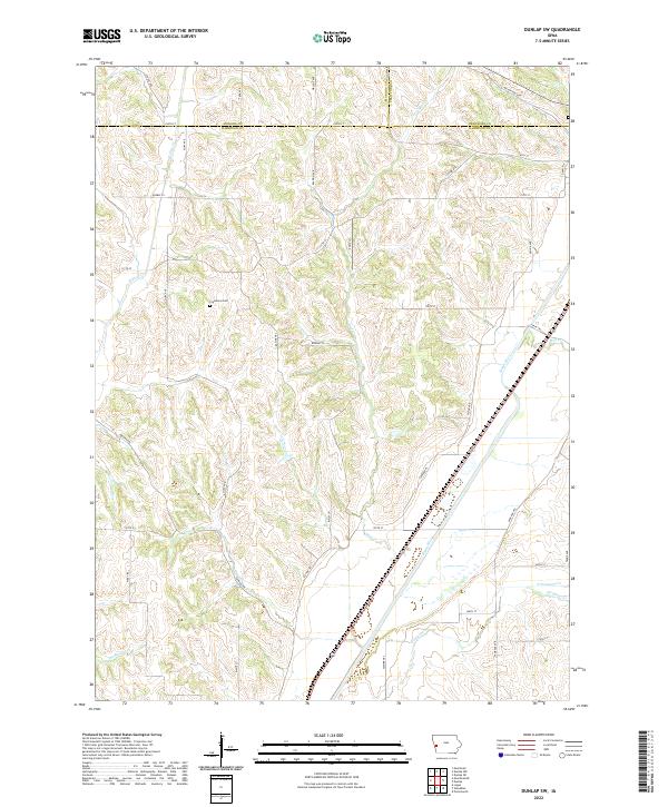
2022 Dunlap SW
Harrison County, IA
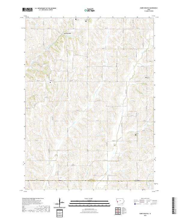
2022 Hard Scratch
Harrison County, IA
2022 Missouri Valley NW
Harrison County, IA
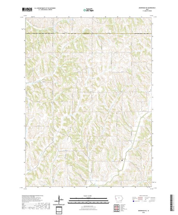
2022 Moorhead SE
Harrison County, IA