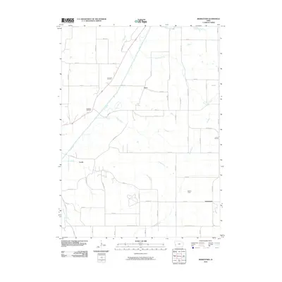
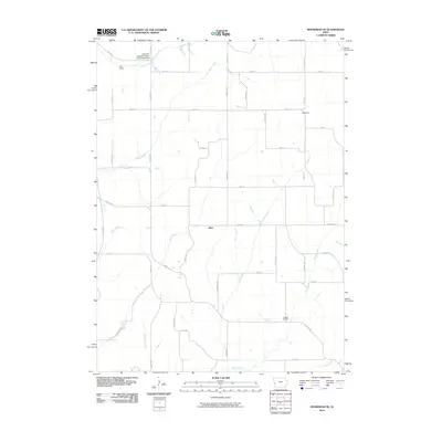
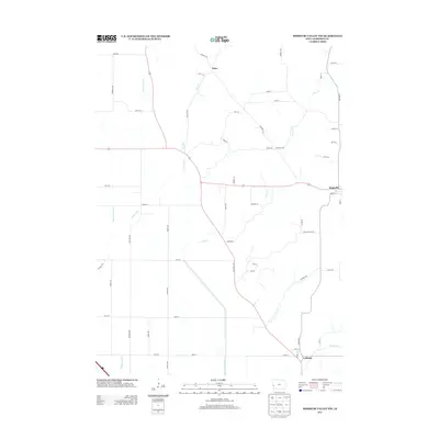
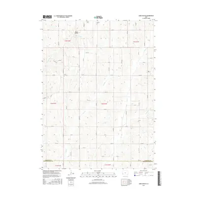
1971 Map of Dunlap SW
USGS Topo · Published 1973About this map
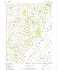
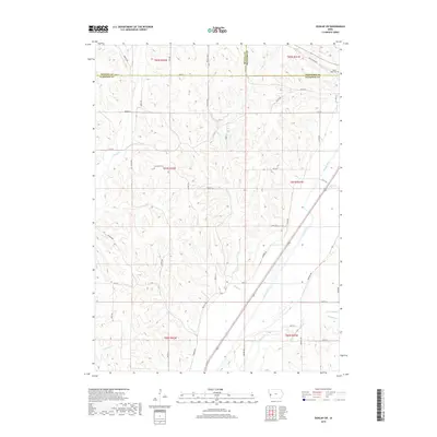
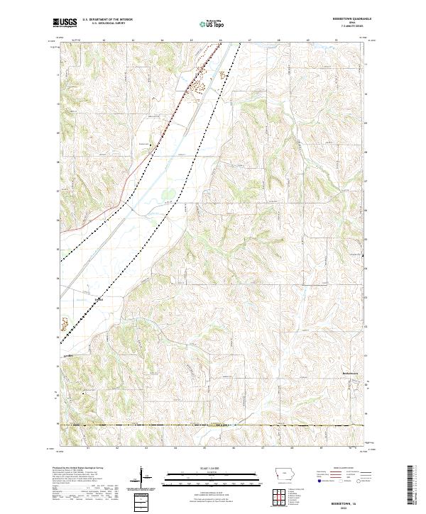
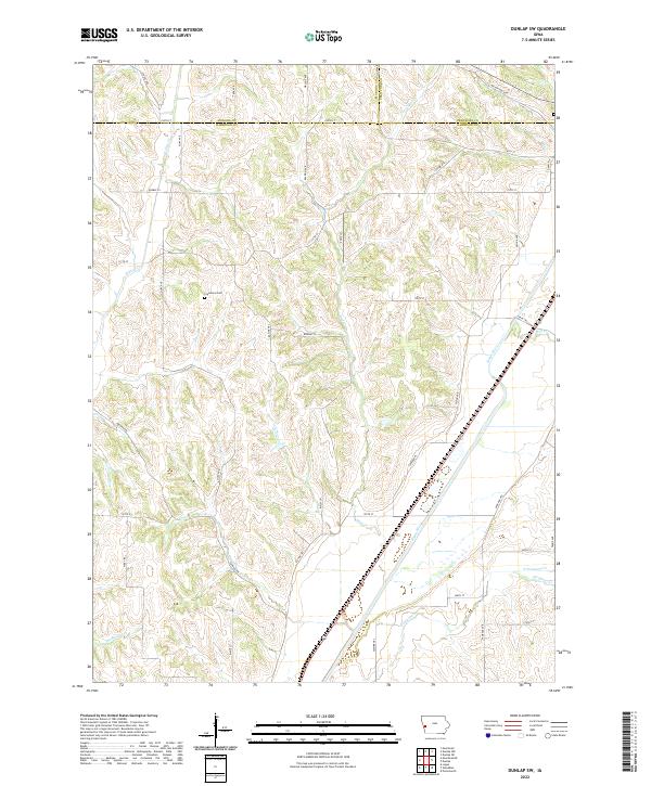
The Boyer River corridor dominates this 1971 topographic landscape, serving as a primary conduit for both water and rail transportation through Harrison County. The Illinois Central Gulf and Chicago North Western rail line parallels the river valley, marking a clear industrial and logistical spine that contrasts with the surrounding township divisions. These divisions, including Willow, Boyer, Lincoln, and Douglas, are defined by a network of drainage systems including Willow Creek and Picayune Creek. Local history is anchored by the Valley View Cem in the northeast, while smaller landmarks like North Picayune Cr and Mud Creek illustrate the dissected terrain typical of western Iowa's loess hills region.
Find a feature on this map
20 named features on this map. Tap any name to fly to it.
Don’t see what you’re looking for? This feature index may not catch every label — zoom into the map to look around manually.
Map Details
Editions of this 1971 Dunlap SW Map
This is the sole edition of this map. No revisions or reprints were ever made.
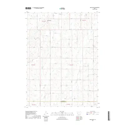
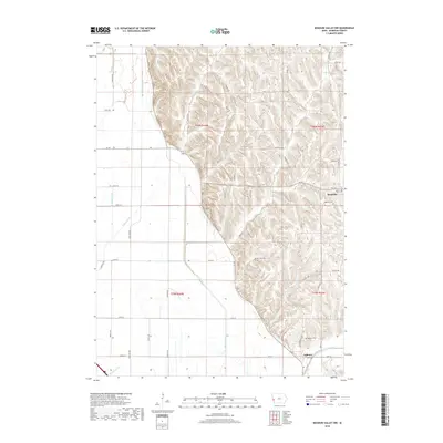
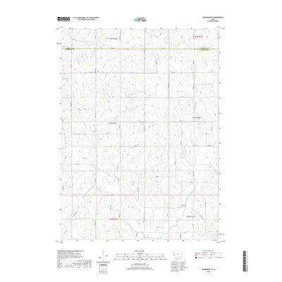
Historical Maps of Baird Through Time
30 maps found
1970 Beebeetown
Harrison County, IA

1970 Missouri Valley NW
Harrison County, IA
1971 Dunlap SW
Harrison County, IA
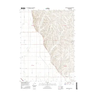
1971 Moorhead SE
Harrison County, IA
1978 Hard Scratch
Harrison County, IA
2010 Beebeetown
Harrison County, IA
2010 Dunlap SW
Harrison County, IA
2010 Hard Scratch
Harrison County, IA
2010 Missouri Valley NW
Harrison County, IA
2010 Moorhead SE
Harrison County, IA
2013 Beebeetown
Harrison County, IA
2013 Dunlap SW
Harrison County, IA
2013 Hard Scratch
Harrison County, IA
2013 Missouri Valley NW
Harrison County, IA
2013 Moorhead SE
Harrison County, IA
2015 Beebeetown
Harrison County, IA
2015 Dunlap SW
Harrison County, IA
2015 Hard Scratch
Harrison County, IA
2015 Missouri Valley NW
Harrison County, IA
2015 Moorhead SE
Harrison County, IA
2018 Beebeetown
Harrison County, IA
2018 Dunlap SW
Harrison County, IA
2018 Hard Scratch
Harrison County, IA
2018 Missouri Valley NW
Harrison County, IA
2018 Moorhead SE
Harrison County, IA
2022 Beebeetown
Harrison County, IA
2022 Dunlap SW
Harrison County, IA
2022 Hard Scratch
Harrison County, IA
2022 Missouri Valley NW
Harrison County, IA
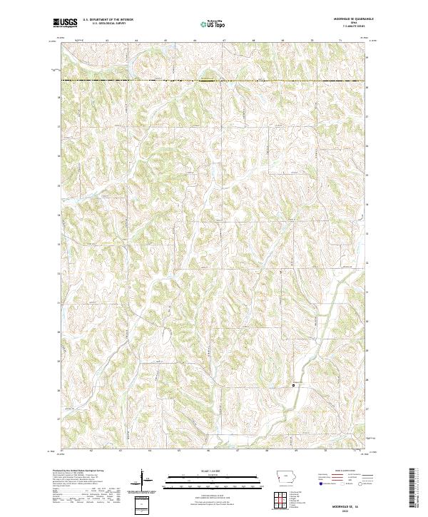
2022 Moorhead SE
Harrison County, IA