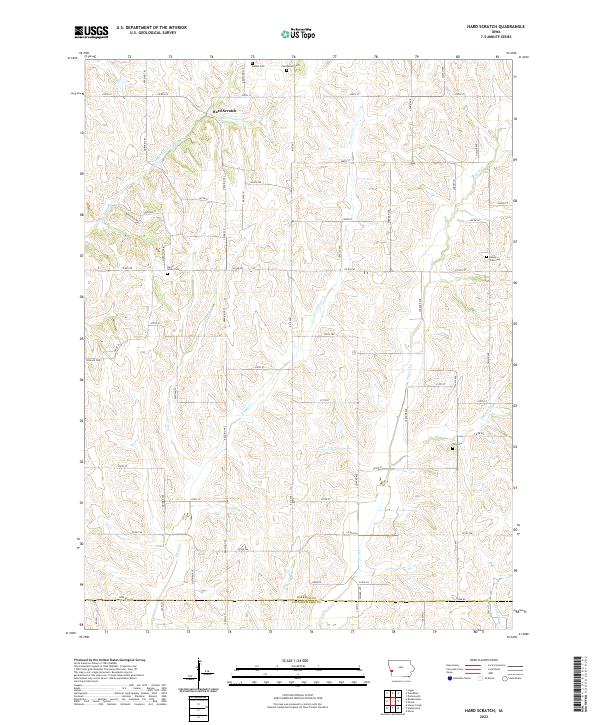
1978 Map of Hard Scratch
USGS Topo · Published 1978About this map
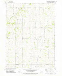
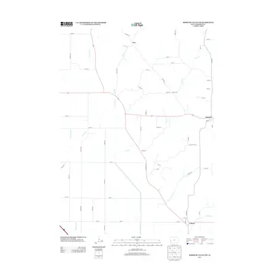
The small settlement of Hard Scratch anchors this rural landscape in the late 1970s, where the rolling hills of western Iowa meet the border between Harrison and Pottawattamie counties. The topography is defined by a dense network of watercourses, including the winding Harris Grove Creek, Potato Creek, and Pigeon Creek, which have shaped the agricultural development and road patterns of Jefferson and Cass townships.
Find a feature on this map
20 named features on this map. Tap any name to fly to it.
Don’t see what you’re looking for? This feature index may not catch every label — zoom into the map to look around manually.
Map Details
Editions of this 1978 Hard Scratch Map
This is the sole edition of this map. No revisions or reprints were ever made.
Historical Maps of Crisp Through Time
30 maps found
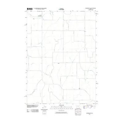
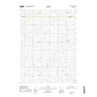
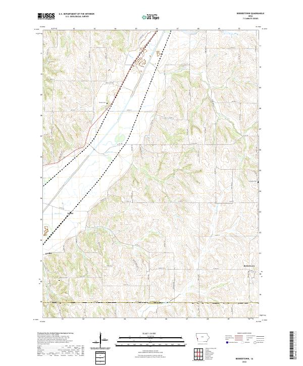
1970 Beebeetown
Harrison County, IA

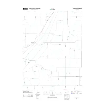
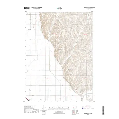
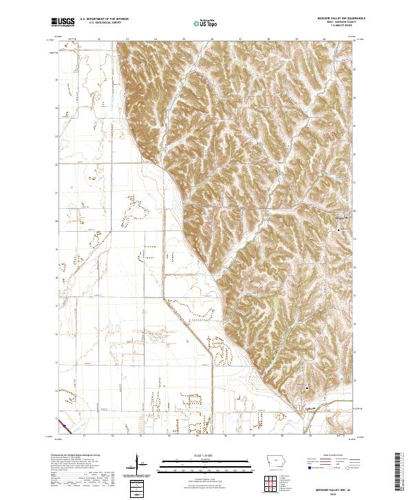
1970 Missouri Valley NW
Harrison County, IA
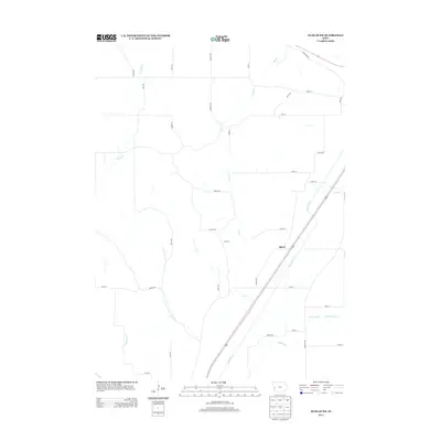
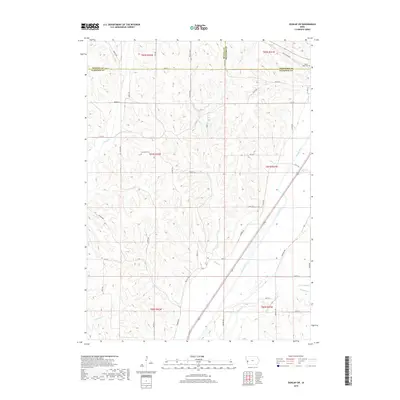
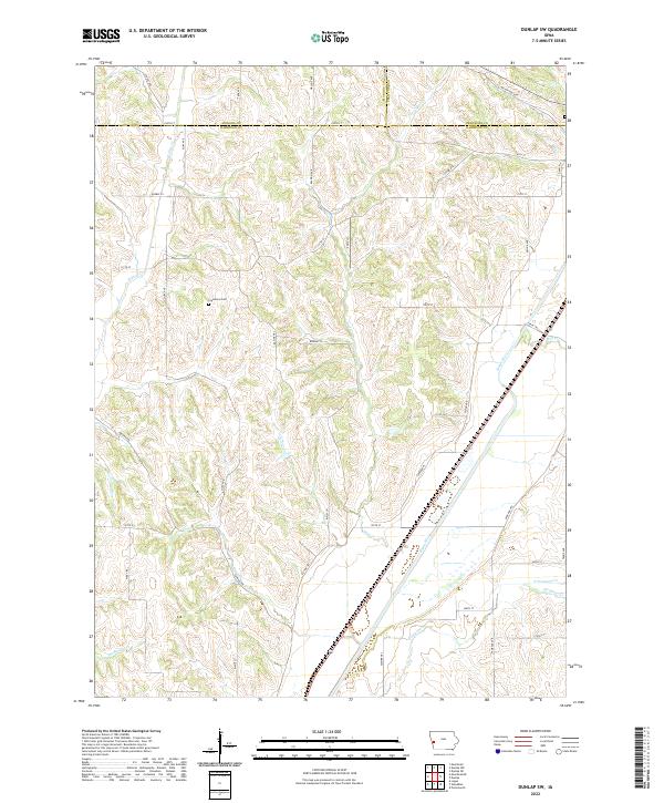
1971 Dunlap SW
Harrison County, IA
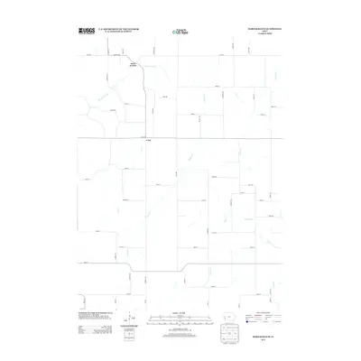
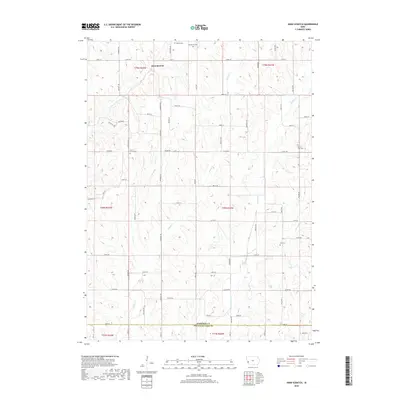
1971 Moorhead SE
Harrison County, IA
1978 Hard Scratch
Harrison County, IA
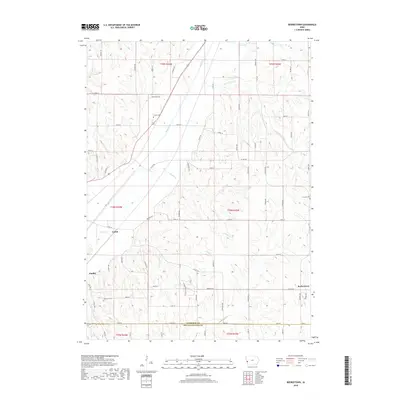
2010 Beebeetown
Harrison County, IA
2010 Dunlap SW
Harrison County, IA
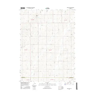
2010 Hard Scratch
Harrison County, IA
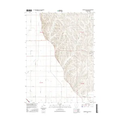
2010 Missouri Valley NW
Harrison County, IA
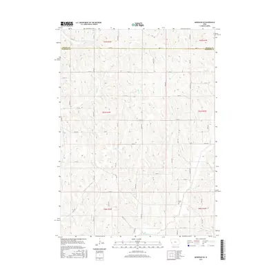
2010 Moorhead SE
Harrison County, IA
2013 Beebeetown
Harrison County, IA
2013 Dunlap SW
Harrison County, IA
2013 Hard Scratch
Harrison County, IA
2013 Missouri Valley NW
Harrison County, IA
2013 Moorhead SE
Harrison County, IA
2015 Beebeetown
Harrison County, IA
2015 Dunlap SW
Harrison County, IA
2015 Hard Scratch
Harrison County, IA
2015 Missouri Valley NW
Harrison County, IA
2015 Moorhead SE
Harrison County, IA
2018 Beebeetown
Harrison County, IA
2018 Dunlap SW
Harrison County, IA
2018 Hard Scratch
Harrison County, IA
2018 Missouri Valley NW
Harrison County, IA
2018 Moorhead SE
Harrison County, IA
2022 Beebeetown
Harrison County, IA
2022 Dunlap SW
Harrison County, IA
2022 Hard Scratch
Harrison County, IA
2022 Missouri Valley NW
Harrison County, IA
2022 Moorhead SE
Harrison County, IA