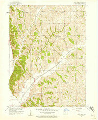
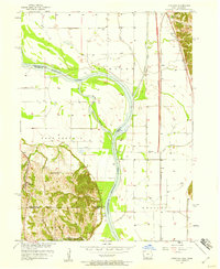
1957 Map of Honey Creek
USGS Topo · Published 1958About this map
Pottawattamie County’s rolling terrain is deeply etched by the drainage of Honey Creek and Pigeon Creek in this mid-century survey. The settlement of Honey Creek is situated near the western edge of the quadrangle, where the Chicago and North Western railroad tracks parallel the base of the bluffs. This map documents a vanishing rural educational network, marking numerous district schoolhouses such as School No 1 and School No 9, alongside several already noted as School No 2 (Abandoned). The cultural landscape is further defined by its early pioneer and religious sites, including St Bridgett Cem and St Johns Ch. The transition from the flatlands near the Missouri River basin to the high, dissected ridges of Rockford and Boomer townships is clearly delineated by the dense contouring of the Loess Hills.
Find a feature on this map
23 named features on this map. Tap any name to fly to it.
Don’t see what you’re looking for? This feature index may not catch every label — zoom into the map to look around manually.
Map Details
Editions of this 1957 Honey Creek Map
2 editions found
Other maps of this area

1893 · Omaha
USGS Topo · 1:62,500

1954 · Omaha
USGS Topo · 1:250,000
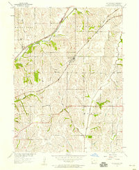
1956 · Underwood
USGS Topo · 1:24,000
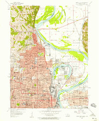
1956 · Council Bluffs North
USGS Topo · 1:24,000
1956 · Omaha North
USGS Topo · 1:24,000
1956 · Mc Clelland
USGS Topo · 1:24,000

1957 · Omaha
USGS Topo · 1:250,000
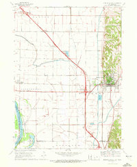
1957 · Loveland
USGS Topo · 1:24,000

1958 · Omaha
USGS Topo · 1:250,000
1970 · Missouri Valley
USGS Topo · 1:24,000