
1957 Map of Loveland
USGS Topo · Published 1958About this map
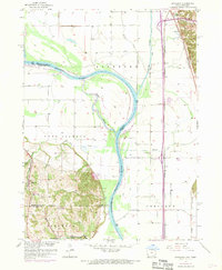
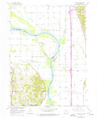
The Missouri River meanders through this mid-century landscape, defining the state boundary between Iowa and Nebraska while creating complex hydraulic features like the Boyer Chute. The topography transitions sharply from the alluvial flats of the river basin to the dramatic bluffs near Hummel Park and Omaha City. This era of development is captured in the infrastructure, featuring a major highway marked as Under Construction alongside established rail corridors of the Illinois Central and the Chicago and North Western. Local community life is anchored by rural landmarks such as the Riverview Sch and Garryowen Sch, while the presence of a Barrow Pit and a Dump reflect the industrial and civic activity of the late 1950s. Smaller rail-stop settlements like Grable and Ascot sit nestled between the river and the Honey Creek hills, marking a period before extensive modern suburbanization changed the character of the river valley.
Find a feature on this map
29 named features on this map. Tap any name to fly to it.
Don’t see what you’re looking for? This feature index may not catch every label — zoom into the map to look around manually.
Map Details
Editions of this 1957 Loveland Map
3 editions found
Other maps of this area

1893 · Omaha
USGS Topo · 1:62,500

1893 · Fremont
USGS Topo · 1:125,000

1896 · Fremont
USGS Topo · 1:125,000

1954 · Omaha
USGS Topo · 1:250,000

1955 · Fremont
USGS Topo · 1:250,000

1956 · Irvington
USGS Topo · 1:24,000

1956 · Council Bluffs North
USGS Topo · 1:24,000

1956 · Omaha North
USGS Topo · 1:24,000

1957 · Fremont
USGS Topo · 1:250,000

1957 · Omaha
USGS Topo · 1:250,000