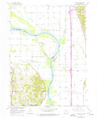
1957 Map of Loveland
USGS Topo · Published 1977About this map
The Missouri River forms the central spine of this landscape, carving a wide valley floor between the bluffs of Fort Calhoun and the eastern heights of Crescent. This 1957 survey, updated with 1970s revisions, documents a riverine environment defined by complex hydrology, including the Boyer River and the side channel of Boyer Chute. On the western banks, Hummel Park and the radio tower mark the northward expansion of Florence, while the rural uplands contain local landmarks like Shipley Cem and Ponca Sch. To the east, the transportation corridors of the Chicago and North Western and the Illinois Central Gulf railroads follow the valley edge through Loveland and Grable. The northern reach is dominated by the De Soto National Wildlife Refuge, illustrating the preservation of oxbow lakes and wetlands amidst the region's agricultural and industrial development.
Find a feature on this map
32 named features on this map. Tap any name to fly to it.
Don’t see what you’re looking for? This feature index may not catch every label — zoom into the map to look around manually.
Map Details
Editions of this 1957 Loveland Map
3 editions found

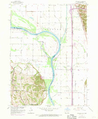
Other maps of this area

1893 · Omaha
USGS Topo · 1:62,500

1893 · Fremont
USGS Topo · 1:125,000

1896 · Fremont
USGS Topo · 1:125,000

1954 · Omaha
USGS Topo · 1:250,000

1955 · Fremont
USGS Topo · 1:250,000

1956 · Irvington
USGS Topo · 1:24,000

1956 · Council Bluffs North
USGS Topo · 1:24,000

1956 · Omaha North
USGS Topo · 1:24,000

1957 · Fremont
USGS Topo · 1:250,000

1957 · Omaha
USGS Topo · 1:250,000