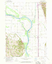
1957 Map of Loveland
USGS Topo · Published 1970About this map
The Missouri River forms the central artery of this landscape, winding through a complex network of floodplains and bluffs during the late 1950s. The river's shiftings are evidenced by the Boyer Chute and the presence of numerous levees protecting the lowlands of Rockford and Fort Calhoun. On the eastern side, the Illinois Central and Chicago and North Western railroads parallel the river, supporting small transit points like Loveland and Grable.
Find a feature on this map
31 named features on this map. Tap any name to fly to it.
Don’t see what you’re looking for? This feature index may not catch every label — zoom into the map to look around manually.
Map Details
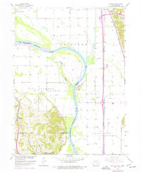
Editions of this 1957 Loveland Map
3 editions found

Other maps of this area

1893 · Omaha
USGS Topo · 1:62,500

1893 · Fremont
USGS Topo · 1:125,000

1896 · Fremont
USGS Topo · 1:125,000

1954 · Omaha
USGS Topo · 1:250,000

1955 · Fremont
USGS Topo · 1:250,000

1956 · Irvington
USGS Topo · 1:24,000

1956 · Council Bluffs North
USGS Topo · 1:24,000

1956 · Omaha North
USGS Topo · 1:24,000

1957 · Fremont
USGS Topo · 1:250,000

1957 · Omaha
USGS Topo · 1:250,000