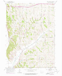
1957 Map of Honey Creek
USGS Topo · Published 1977About this map
The settlement of Honey Creek serves as a focal point along the Chicago and North Western railroad line in this mid-century portrait of Pottawattamie County. This rural landscape is defined by the drainage patterns of Honey Creek, Pigeon Creek, and North Pigeon Creek, which carve through the townships of Rockford, Boomer, Crescent, and Hazel Dell. The distribution of local institutions reveals a well-established agrarian community, with numerous numbered schoolhouses such as School No 4 and School No 8 spaced at regular intervals to serve the surrounding farmsteads.
Find a feature on this map
25 named features on this map. Tap any name to fly to it.
Don’t see what you’re looking for? This feature index may not catch every label — zoom into the map to look around manually.
Map Details
Editions of this 1957 Honey Creek Map
2 editions found
Other maps of this area

1893 · Omaha
USGS Topo · 1:62,500

1954 · Omaha
USGS Topo · 1:250,000

1956 · Underwood
USGS Topo · 1:24,000

1956 · Council Bluffs North
USGS Topo · 1:24,000

1956 · Omaha North
USGS Topo · 1:24,000

1956 · Mc Clelland
USGS Topo · 1:24,000

1957 · Omaha
USGS Topo · 1:250,000

1957 · Loveland
USGS Topo · 1:24,000

1957 · Honey Creek
USGS Topo · 1:24,000

1958 · Omaha
USGS Topo · 1:250,000