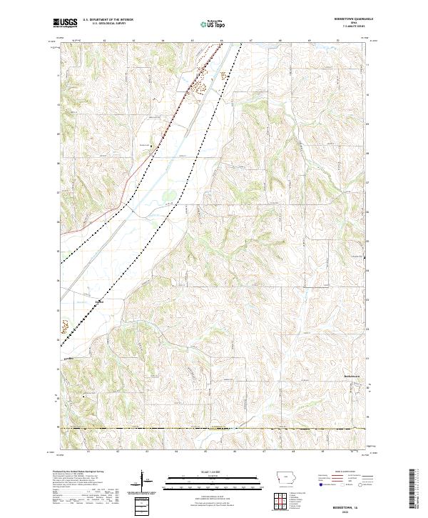
2022 Map of Beebeetown
USGS Topo · Published 2022About this map
Boyer River and its accompanying valley floor define the western landscape of this Harrison County region, where the loess hills of western Iowa descend toward the river's drainage. The settlement at Beebeetown anchors the southeastern corner, while smaller historical points like Euclid and Findley sit further west near the bluffs. The map reveals a land divided by a rigorous grid of section lines and gravel roads, including Co Rd F58 and Co Rd F66, which navigate the deeply dissected terrain of the Honey Cr and Harris Grove Cr watersheds.
Find a feature on this map
43 named features on this map. Tap any name to fly to it.
Don’t see what you’re looking for? This feature index may not catch every label — zoom into the map to look around manually.
Map Details
Editions of this 2022 Beebeetown Map
This is the sole edition of this map. No revisions or reprints were ever made.
Other maps of this area

1893 · Omaha
USGS Topo · 1:62,500

1954 · Omaha
USGS Topo · 1:250,000

1956 · Underwood
USGS Topo · 1:24,000

1957 · Omaha
USGS Topo · 1:250,000

1957 · Loveland
USGS Topo · 1:24,000

1957 · Honey Creek
USGS Topo · 1:24,000

1958 · Omaha
USGS Topo · 1:250,000

1970 · Logan
USGS Topo · 1:24,000
1970 · Missouri Valley
USGS Topo · 1:24,000
1970 · Beebeetown
USGS Topo · 1:24,000