Old Maps of Henry County, Iowa for Academic Research
Study the evolution of Henry County with 105 high-resolution historic maps. Whether you're teaching, researching, or modeling changes in land use, these maps provide essential visual documentation of urban, environmental, and geographic change.
- Analyze long-term change: Track patterns in development, transportation, and natural features.
- Ideal for environmental or urban studies: Support academic projects with primary historical map data.
- Use in the classroom or lab: Educators and researchers rely on these maps to bring historical context to life.
These maps are a powerful tool for teaching, research, and visualizing how Henry County has changed over the decades.
Henry County, IA maps
(105)- 1958 Map of Burlington, 1968 Print
 1958 Burlington1968 Print · USGSThe tri-state river country of Iowa, Illinois, and Missouri is captured here in the mid-fifties, dominated by the Mississippi River and major rail lines. Genealogists and historians can trace the development of river towns like Keokuk or locate the sprawling Iowa Army Ammunition Plant.4 unique versions available
 - 1958 Map of Davenport, 1968 Print
 1958 Davenport1968 Print · USGSEastern Iowa and western Illinois thrive along the river during the late fifties, defined by the industrial Quad Cities and a robust rail network. Genealogists can trace family roots through settlements like Oasis and Stanwood or along the Cedar River.2 unique versions available
 - 1961 Map of Burlington
 1961 Burlington1961 Print · USGSThe tri-state borderlands along the Mississippi River are captured here during the late fifties and early sixties, showing the vital river-and-rail economy of Iowa, Illinois, and Missouri. Genealogists and historians can trace the development of major hubs like Galesburg and Macomb alongside landmark sites such as the Iowa Ordnance Plant and the historic river town of Nauvoo.
 - 1961 Map of Davenport
 1961 Davenport1961 Print · USGSThe Quad Cities and the eastern Iowa riverlands are captured here in the early sixties, showing the region's transition into a modern industrial and transit hub. Genealogists and historians can trace the paths of major railroads and find river landmarks like Rock Island Arsenal, Huron Island, and the Coralville Reservoir.
 - 1962 Map of Davenport
 1962 Davenport1962 Print · USGSThe Quad Cities and the Mississippi River corridor are shown at their industrial peak just before the interstate era fully transformed the region. Researchers can trace the sprawling rail networks of the Chicago Rock Island and Pacific and find landmarks like the Rock Island Arsenal and Wild Cat Den State Park.
 - 1963 Map of Burlington
 1963 Burlington1963 Print · USGSThe tri-state river country of the Mississippi and Illinois valleys comes alive in this mid-century survey. Genealogists and historians can trace the industrial and academic growth of the region, from the Iowa Ordnance Plant to campuses like Knox College and Western Illinois University.
 - 1980 Map of Trenton, 1981 Print
 1980 Trenton1981 Print · USGSThe Skunk River valley comes into sharp focus during the mid-seventies, marking the boundary where Jefferson and Henry Counties meet. Genealogists and local historians can trace rural roots through Messer Cemetery, Trenton, and White Oak Church.
 - 1980 Map of Wayland, 1981 Print
 1980 Wayland1981 Print · USGSLife in the 1970s across the Washington and Henry county lines centered on the agricultural hubs of Wayland and Coppock during this era of field mapping. Researchers can trace family roots through several rural landmarks, including Schrock Cem, Eicher Emmanuel Ch, and the winding path of the Skunk River.
 - 1980 Map of Lockridge East, 1981 Print
 1980 Lockridge East1981 Print · USGSThe Skunk River and Cedar Creek basins in the early 1980s show a well-defined landscape of rail-connected towns and rural parishes. Genealogists and historians can locate community landmarks like Grant Cem, the Burlington Northern line, and Round Prairie Ch.
 - 1981 Map of Cairo
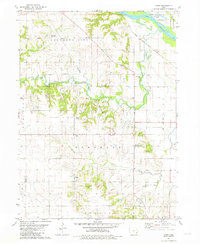 1981 Cairo1981 Print · USGSLouisa County’s agricultural heartland is documented here in the early eighties, centered on the village of Cairo. Researchers can trace old family roots at Cairo Cem or locate former community gathering spots like the Louisa Center Ch and Virginia Grove Park.
 - 1981 Map of Mount Pleasant
 1981 Mount Pleasant1981 Print · USGSHenry County is shown in the early eighties as a thriving center of education and industry, centered on the growing grid of Mount Pleasant. Genealogists and historians can locate family landmarks like Home Bethel Cem, Pleasant Hill Cem, and the campus of Iowa Wesleyan College.
 - 1981 Map of Danville
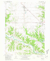 1981 Danville1981 Print · USGSSoutheast Iowa in the early eighties shows a landscape shaped by rail, river, and military industry. Genealogists can trace family names at Pleasant Grove Cem and Creamer Cem, or locate the Iowa Army Ammunition Plant and Harmony Ch.
 - 1981 Map of Crawfordsville
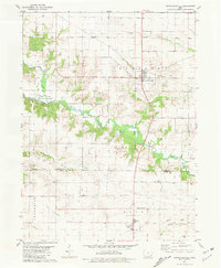 1981 Crawfordsville1981 Print · USGSSoutheastern Iowa's agricultural heartland is captured here in the early eighties, centered on the communities of Crawfordsville and Noble. Researchers can trace old transportation routes along the Old Railroad Grade and locate several burial sites including Benson Cem and Asbury Cem.
 - 1981 Map of Morning Sun
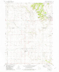 1981 Morning Sun1981 Print · USGSMorning Sun and Yarmouth appear here in the early 1980s, illustrating the agricultural and civic layout of the Louisa and Des Moines county border. Genealogists can locate family sites like Elmwood Cem and Rice Cem or trace the paths of East Fork Crooked Creek and Flint Creek.
 - 1981 Map of Lowell
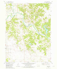 1981 Lowell1981 Print · USGSThe Skunk River valley in the early 1980s reveals a quiet landscape of wooded bluffs and tucked-away family burial grounds. Genealogists can locate specific sites like Friends Cem, Williamson Cem, and Pickle Ch, or explore the development of Geode State Park.
 - 1981 Map of Salem
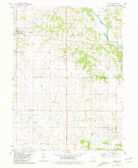 1981 Salem1981 Print · USGSSoutheast Iowa farming communities thrive across Henry and Lee counties in the early eighties. Researchers can trace family history through the Old Pilot Grove Cem or follow the Old Railroad Grade past Houghton and Mertensville.
 - 1981 Map of Winfield North
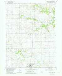 1981 Winfield North1981 Print · USGSWinfield and the townships of Louisa and Henry counties are documented here in the early eighties. Local historians can trace the Old Railroad Grade and locate family burial sites at Covenantor Cem or Cambrian Cem.
 - 1981 Map of New London
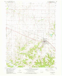 1981 New London1981 Print · USGSHenry County, Iowa, is captured in the early eighties as a well-ordered agricultural landscape centered on the rail corridor. Researchers can trace family history through several rural burial sites like Burge Cem and Farlow Cem or locate the small community of Canaan.
 - 1981 Map of Swedesburg
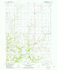 1981 Swedesburg1981 Print · USGSSoutheast Iowa farming townships are captured here in the early eighties, showcasing a landscape of section-line roads and creek-cut valleys. Genealogists can locate several family-named burial sites including New Richwoods Cem, Old Finley Cem, and Hickory Grove Cem.
 - 1981 Map of Winfield South
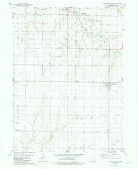 1981 Winfield South1981 Print · USGSHenry County's rolling farmland in the early eighties is captured here, showing the rural townships of Canaan and Scott. Researchers can trace the Old Railroad Grade and locate historic sites like Wesley Chapel or the Pleasant Lawn Sch.
 - 1981 Map of Hillsboro
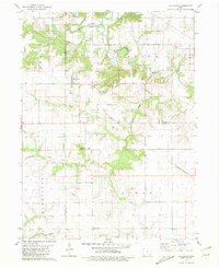 1981 Hillsboro1981 Print · USGSSoutheast Iowa in the early eighties shows a transition from traditional rail-connected towns to modern rural management. Trace the path of the Old Railroad Grade past Hillsboro and locate family burial sites at Bayles Cem and the local Cemetery.
 - 1981 Map of Pleasant Grove
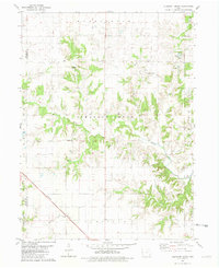 1981 Pleasant Grove1981 Print · USGSDes Moines County was characterized by a dense network of creek-fed farmlands and small rural settlements during the early 1980s. Local researchers can trace family lands near Pleasant Grove or locate ancestral burial grounds like Ramsey Cem and Millerburg Cem.
 - 1984 Map of Muscatine, 1985 Print
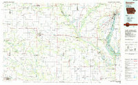 1984 Muscatine1985 Print · USGSThe Mississippi River corridor and Iowa prairie meet in the 1980s, showcasing a landscape of river navigation and agricultural heartland. Genealogists and researchers can locate old schools and landmarks like Maharishi International University, Elm Grove Cem, and Lock & Dam No 16.2 unique versions available
 - 1985 Map of Burlington
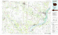 1985 Burlington1985 Print · USGSThe Tri-State region during the mid-eighties shows a landscape shaped by the Mississippi River and a dense network of railroads. Genealogists and local historians can trace family sites near Aspen Grove Cem or locate community landmarks in Burlington, Fort Madison, and Mount Pleasant.2 unique versions available
 - 1990 Map of Burlington
 1990 Burlington1990 Print · USGSThe tri-state confluence of Iowa, Illinois, and Missouri is mapped here at the end of the twentieth century. Genealogists and historians can trace the riverfront heritage of Burlington, Keokuk, and Fort Madison, or locate sites like the Battle of Athens State Historic Site.2 unique versions available
Showing maps 1-25 of 105
Top cities of Henry County
- Mount Pleasant historical maps
- New London historical maps
- Winfield historical maps
- Wayland historical maps
- Salem historical maps
- Olds historical maps
See more
Frequently asked questions
- What are the different types of historical maps available for Henry County?
- What is the oldest map of Henry County?
- Where can I purchase historical maps of Henry County for my home or office?
- Where can I download high-res historical maps of Henry County?
- Are there historical topographic maps available for Henry County?
- Is there historical aerial imagery available for Henry County?
- Where are historical maps of Henry County sourced from?