2000s (21st Century) Maps of Winfield, Iowa
Explore 10 historic maps of Winfield from the 2000s (21st Century). These maps offer a rare glimpse into what life looked like during the 2000s — showing old roads, neighborhoods, homes, and landmarks that have changed or disappeared over time.
Whether you're researching your family's past, planning a metal detecting trip, or studying how Winfield's landscape evolved across the 2000s, these high-resolution maps are a powerful tool for exploring the history of this region.
- Focus on a specific era: All maps on this page are from the 2000s, giving you a focused view of this time period.
- See what’s changed: Compare century-old streets, trails, and buildings to today's modern landscape using overlays and satellite layers.
- Research with precision: Use these maps for genealogy, historical research, land use analysis, or educational projects.
- View, download, or print: Maps are fully viewable online in high resolution, and can be downloaded or printed for your own records.
Start exploring Winfield's history through authentic maps from the 2000s. This is your window into the past.
Winfield, IA maps
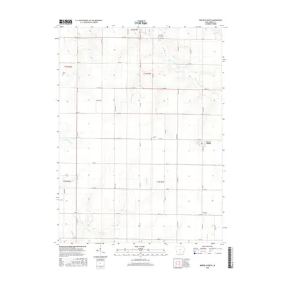
(10)- 2010 Map of Winfield South, 2010 Print
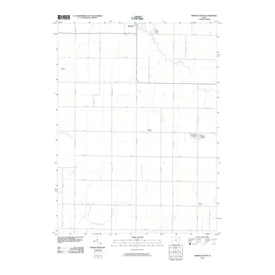 2010 Winfield South2010 Print · USGSCovers Winfield, including Mount Union, Henry County, and other nearby areas
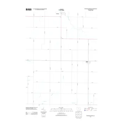
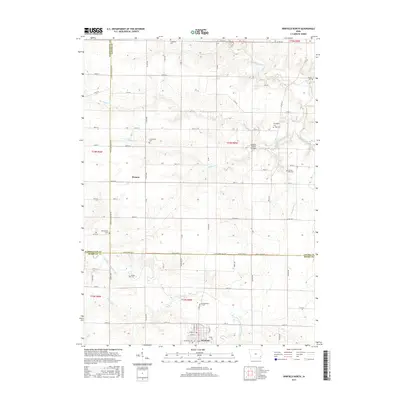
 - 2010 Map of Winfield North, 2010 Print
 2010 Winfield North2010 Print · USGSCovers Winfield, including Wyman, Washington County, and other nearby areas
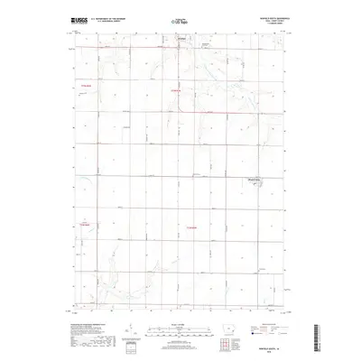
 - 2013 Map of Winfield South, 2013 Print
 2013 Winfield South2013 Print · USGSCovers Winfield, including Mount Union, Henry County, and other nearby areas
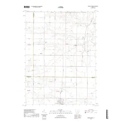
 - 2013 Map of Winfield North, 2013 Print
 2013 Winfield North2013 Print · USGSCovers Winfield, including Wyman, Washington County, and other nearby areas
 - 2015 Map of Winfield South, 2015 Print
 2015 Winfield South2015 Print · USGSCovers Winfield, including Mount Union, Henry County, and other nearby areas
 - 2015 Map of Winfield North, 2015 Print
 2015 Winfield North2015 Print · USGSCovers Winfield, including Wyman, Washington County, and other nearby areas
 - 2018 Map of Winfield South, 2018 Print
 2018 Winfield South2018 Print · USGSCovers Winfield, including Mount Union, Henry County, and other nearby areas
 - 2018 Map of Winfield North, 2018 Print
 2018 Winfield North2018 Print · USGSCovers Winfield, including Wyman, Washington County, and other nearby areas
 - 2022 Map of Winfield South, 2022 Print
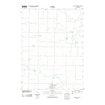
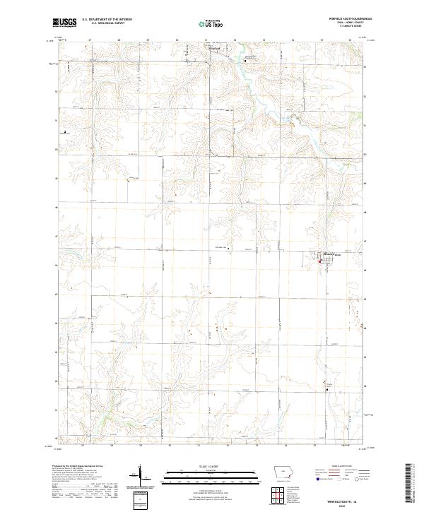 2022 Winfield South2022 Print · USGSHenry County farmland in the early 2020s shows a landscape of deep-rooted settlements and quiet township cemeteries. Genealogists can locate family sites like Winfield Scott Township Cem and trace the paths of Little Potomac Cr or Spring Cr.
 - 2022 Map of Winfield North, 2022 Print
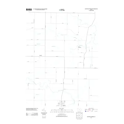
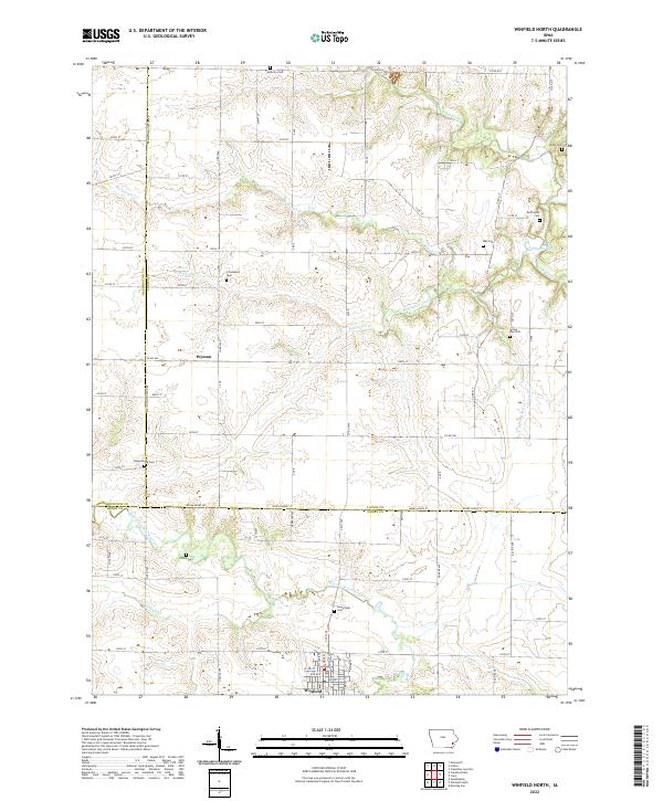 2022 Winfield North2022 Print · USGSLouisa and Henry Counties in the early twenty-first century maintain a landscape of deep-rooted rural settlements and family heritage. Researchers can locate numerous local landmarks including Wyman, Richie Cem, and Buffington Cem along the winding banks of Buffington Creek.
End of results
Showing maps 1-10 of 10
Top cities near Winfield
- Mount Pleasant historical maps
- Washington historical maps
- New London historical maps
- Columbus Junction historical maps
- Wayland historical maps
- Morning Sun historical maps
See more
Frequently asked questions
- What are the different types of historical maps available for Winfield?
- What is the oldest map of Winfield?
- Where can I purchase historical maps of Winfield for my home or office?
- Where can I download high-res historical maps of Winfield?
- Are there historical topographic maps available for Winfield?
- Is there historical aerial imagery available for Winfield?
- Where are historical maps of Winfield sourced from?