Old Maps of Williamsburg, Iowa for Academic Research
Study the evolution of Williamsburg with 24 high-resolution historic maps. Whether you're teaching, researching, or modeling changes in land use, these maps provide essential visual documentation of urban, environmental, and geographic change.
- Analyze long-term change: Track patterns in development, transportation, and natural features.
- Ideal for environmental or urban studies: Support academic projects with primary historical map data.
- Use in the classroom or lab: Educators and researchers rely on these maps to bring historical context to life.
These maps are a powerful tool for teaching, research, and visualizing how Williamsburg has changed over the decades.
Williamsburg, IA maps
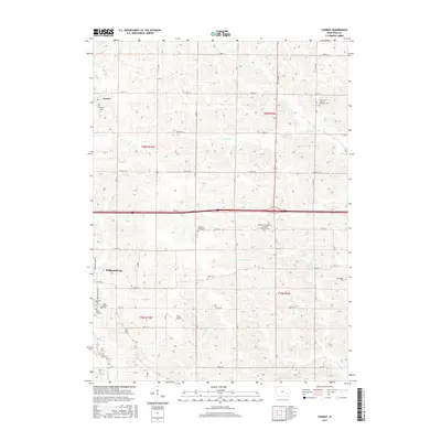
(24)- 1891 Map of Oxford
 1891 Oxford1891 Print · USGSEastern Iowa in the late nineteenth century was a landscape of burgeoning rail towns and fertile creek bottoms. Genealogists can trace the early township borders of Oxford and York while following the paths of the Chicago Rock Island and Pacific Railroad and Old Mans Creek.
 - 1894 Map of Oxford
 1894 Oxford1894 Print · USGSNorthwestern Johnson County was a landscape of emerging rail towns and winding creek valleys in the late nineteenth century. Genealogists and local historians can trace the early footprints of Oxford and Windham alongside the Old Mans Creek drainage system.2 unique versions available
 - 1903 Map of Fairfax
 1903 Fairfax1903 Print · USGSEastern Iowa's rail-and-river corridor is captured here at the start of the twentieth century, showing the region's transition into an agricultural powerhouse. Genealogists can locate the seven original communal villages of the Amana colonies and old educational sites like Western College.2 unique versions available
 - 1954 Map of Des Moines, 1973 Print
 1954 Des Moines1973 Print · USGSCentral Iowa's evolving landscape is captured here in the early seventies, just as major reservoirs were reshaping the river valleys. Genealogists and historians can trace the rail corridors of the Burlington Northern or locate family roots near Pella, Indianola, and Knoxville.2 unique versions available
 - 1956 Map of Des Moines
 1956 Des Moines1956 Print · USGSCentral Iowa in the mid-fifties shows a landscape defined by bustling rail hubs and deep-rooted agricultural research. Genealogists and researchers can trace the growth of Des Moines and Ames, locate the Sac and Fox Indian Reservation, or study the paths of the Skunk River and South Skunk River.
 - 1957 Map of Des Moines
 1957 Des Moines1957 Print · USGSCentral Iowa's post-war landscape is defined here by the converging rail lines and river valleys that shaped its earliest settlements. Genealogists and historians can trace the paths of the Rock Island Railroad and locate community landmarks in Des Moines, Ames, and Newton.
 - 1958 Map of Davenport, 1968 Print
 1958 Davenport1968 Print · USGSEastern Iowa and western Illinois thrive along the river during the late fifties, defined by the industrial Quad Cities and a robust rail network. Genealogists can trace family roots through settlements like Oasis and Stanwood or along the Cedar River.2 unique versions available
 - 1961 Map of Davenport
 1961 Davenport1961 Print · USGSThe Quad Cities and the eastern Iowa riverlands are captured here in the early sixties, showing the region's transition into a modern industrial and transit hub. Genealogists and historians can trace the paths of major railroads and find river landmarks like Rock Island Arsenal, Huron Island, and the Coralville Reservoir.
 - 1962 Map of Davenport
 1962 Davenport1962 Print · USGSThe Quad Cities and the Mississippi River corridor are shown at their industrial peak just before the interstate era fully transformed the region. Researchers can trace the sprawling rail networks of the Chicago Rock Island and Pacific and find landmarks like the Rock Island Arsenal and Wild Cat Den State Park.
 - 1968 Map of Williamsburg, 1970 Print
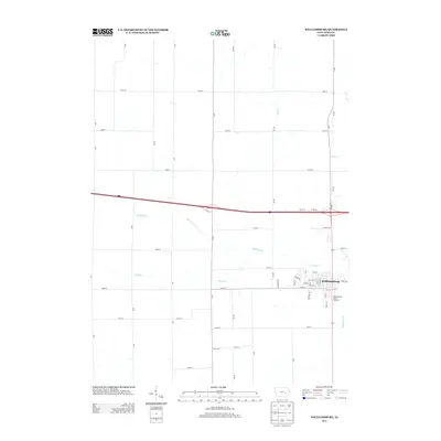
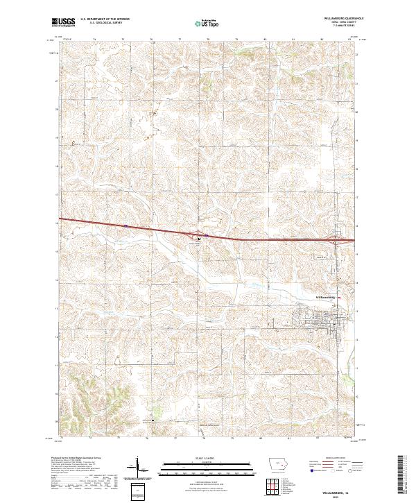
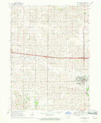 1968 Williamsburg1970 Print · USGSIowa County at the end of the sixties shows a landscape of steady agricultural growth and established rail corridors. Genealogists and local historians can locate early landmarks such as the Pilot Grove Union Cem, North Pilot Sch, and the village of Conroy.
 - 1969 Map of Des Moines
 1969 Des Moines1969 Print · USGSCentral Iowa's fertile plains and growing capital are captured here during the late sixties, a time of major highway expansion and reservoir construction. Genealogists and researchers can trace rural township boundaries, local cemeteries, and rail lines serving towns like Pella, Grinnell, and Oskaloosa.
 - 1973 Map of Conroy, 1975 Print
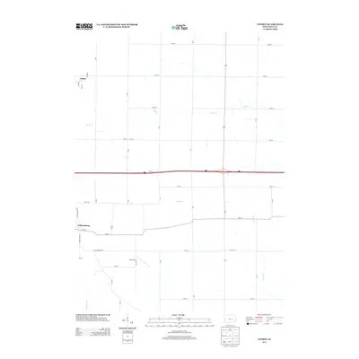
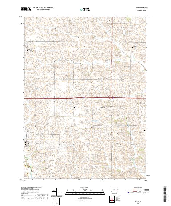
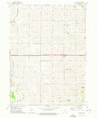 1973 Conroy1975 Print · USGSIowa County at the start of the 1970s shows a landscape of established farmsteads and rural parish life. Genealogists and local historians can trace family roots through numerous sites like Trinity Cem, Dane Cem, and the village of Williamsburg.
 - 1984 Map of Iowa City, 1985 Print
 1984 Iowa City1985 Print · USGSEastern Iowa in the mid-eighties shows a landscape of expanding university towns and river-fed conservation lands. Genealogists and local historians can trace the rural networks connecting Iowa City to smaller outposts like West Branch, Solon, and Atalissa.2 unique versions available
 - 1984 Map of Grinnell, 1985 Print
 1984 Grinnell1985 Print · USGSCentral Iowa's prairie towns and rail corridors are captured in the mid-1980s, showcasing the agricultural grid and protected marshlands. Researchers can trace historic routes along the Chicago and North Western or locate family roots near the Sac and Fox Indian Reservation and Lake Ponderosa.2 unique versions available
 - 2010 Map of Williamsburg, 2010 Print
 2010 Williamsburg2010 Print · USGSCovers Williamsburg, including Iowa County, United States, and other nearby areas
 - 2010 Map of Conroy, 2010 Print
 2010 Conroy2010 Print · USGSCovers Williamsburg, including Conroy, Iowa County, and other nearby areas
 - 2013 Map of Williamsburg, 2013 Print
 2013 Williamsburg2013 Print · USGSCovers Williamsburg, including Iowa County, United States, and other nearby areas
 - 2013 Map of Conroy, 2013 Print
 2013 Conroy2013 Print · USGSCovers Williamsburg, including Conroy, Iowa County, and other nearby areas
 - 2015 Map of Conroy, 2015 Print
 2015 Conroy2015 Print · USGSCovers Williamsburg, including Conroy, Iowa County, and other nearby areas
 - 2015 Map of Williamsburg, 2015 Print
 2015 Williamsburg2015 Print · USGSCovers Williamsburg, including Iowa County, United States, and other nearby areas
 - 2018 Map of Conroy, 2018 Print
 2018 Conroy2018 Print · USGSCovers Williamsburg, including Conroy, Iowa County, and other nearby areas
 - 2018 Map of Williamsburg, 2018 Print
 2018 Williamsburg2018 Print · USGSCovers Williamsburg, including Iowa County, United States, and other nearby areas
 - 2022 Map of Conroy, 2022 Print
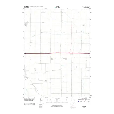
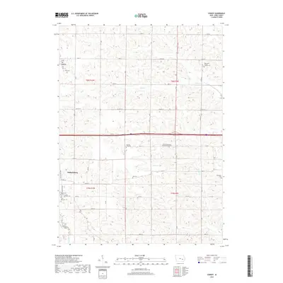
 2022 Conroy2022 Print · USGSThe rural landscape around Williamsburg and Conroy comes alive in this contemporary survey of eastern Iowa. Genealogists and local historians can pinpoint numerous historic burial sites, including Dane Cem, East York Cem, and Oak Hill Cem.
 - 2022 Map of Williamsburg, 2022 Print
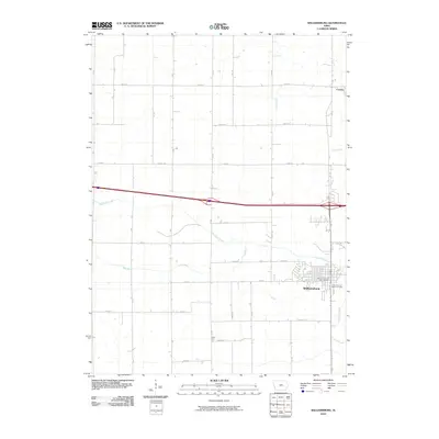
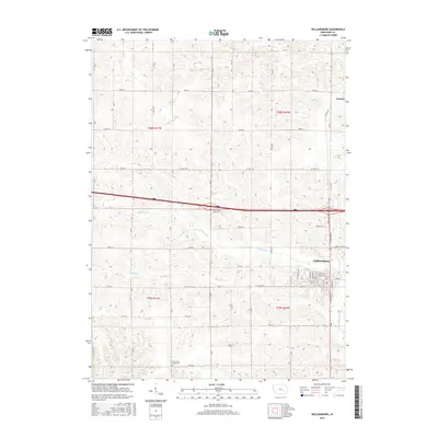
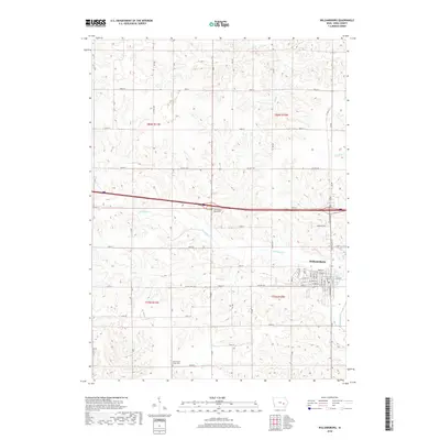
 2022 Williamsburg2022 Print · USGSWilliamsburg and the surrounding farm country of Iowa County are captured here in the early 2020s. Researchers can trace rural cemetery locations like County Home Cemetery and Pilot Grove Union Cemetery or follow the waters of Old Mans Creek.
End of results
Showing maps 1-24 of 24
Top cities near Williamsburg
- Marengo historical maps
- Wellman historical maps
- Walford historical maps
- North English historical maps
- Oxford historical maps
- Middle Amana historical maps
See more
Frequently asked questions
- What are the different types of historical maps available for Williamsburg?
- What is the oldest map of Williamsburg?
- Where can I purchase historical maps of Williamsburg for my home or office?
- Where can I download high-res historical maps of Williamsburg?
- Are there historical topographic maps available for Williamsburg?
- Is there historical aerial imagery available for Williamsburg?
- Where are historical maps of Williamsburg sourced from?