Old Maps of Bellevue, Iowa for Genealogy
Trace your family roots with 21 historic maps of Bellevue. These high-res maps reveal old neighborhoods, homesites, landmarks, and streets — helping you uncover where your ancestors lived and how the area evolved over time.
- Explore historic neighborhoods: Identify where your relatives may have lived in the 1800s or 1900s.
- Compare maps over time: Trace the changes in streets, buildings, and landmarks for multi-generational research.
- Perfect for genealogy & ancestry research: Used by family historians and researchers to map out lineage and migration.
These maps are an incredible resource for exploring your personal connection to Bellevue's past.
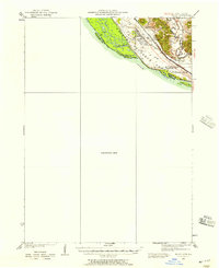
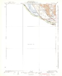
Bellevue, IA maps
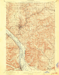
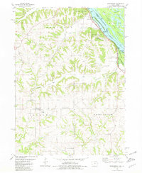
(21)- 1911 Map of Galena, 1953 Print
 1911 Galena1953 Print · USGSBefore the decline of the local lead industry, this area was a hub of mining and river commerce. Genealogists can trace family names through dozens of rural schools and mines like Blackjack Mine, or locate long-lost river crossings like Gears Ferry.3 unique versions available
 - 1913 Map of Galena
 1913 Galena1913 Print · USGSThe mining and river districts of Jo Daviess County are captured here just before the First World War. Genealogists and researchers can locate family-named landmarks like Horseshoe Mound, local schools such as Miners School, and industrial sites like the Hoskin Mine.3 unique versions available
 - 1935 Map of Miles, 1957 Print
 1935 Miles1957 Print · USGSIn the mid-1930s, the Mississippi River shoreline was defined by military expansion and the rail economy. Genealogists and historians can trace the foundations of the Savanna Ordnance Depot and local landmarks like Whitton and Lost Mound Sch.
 - 1941 Map of Miles
 1941 Miles1941 Print · USGSThe Mississippi River borderlands come alive in this pre-war survey, documenting the small settlements and rail lines that defined the Jo Daviess and Carroll County line. Researchers can trace the river's complex island system or find local landmarks like Whitton, Lost Mound, and the Lost Mound Sch.2 unique versions available
 - 1959 Map of Dubuque, 1982 Print
 1959 Dubuque1982 Print · USGSThe Tri-State region comes alive in the mid-twentieth century as a hub of river commerce and rail transit. Genealogists and historians can trace the paths of the Illinois Central Gulf through Dubuque or locate the Savanna Ordnance Depot and Lock and Dam No 11.
 - 1961 Map of Dubuque
 1961 Dubuque1961 Print · USGSThe Tri-State region's river-and-rail landscape is captured here during the early sixties, showing the convergence of Iowa, Illinois, and Wisconsin. Trace mid-century rail lines like the Chicago Great Western Ry and explore sites like the Savanna Ordnance Depot and Backbone State Park.
 - 1962 Map of Dubuque
 1962 Dubuque1962 Print · USGSThe Tri-State region's river-and-rail economy is captured here in the early sixties, centered on the Mississippi River bluffs. Genealogists and historians can locate Numerous lead and zinc mines, the New Melleray Abbey Monastery, and rural hubs like Saint Olaf.2 unique versions available
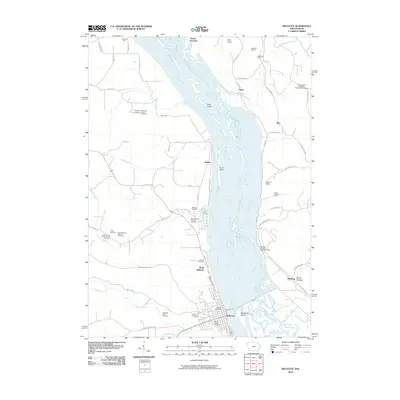
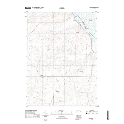
 - 1968 Map of Bellevue, 1970 Print
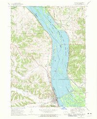 1968 Bellevue1970 Print · USGSThe Mississippi River border between Iowa and Illinois was a center of rail and river industry in the late sixties. Genealogists and historians can trace the foundations of Bellevue, the Savanna Army Depot, and old cemeteries like St Joseph Cem.3 unique versions available
 - 1976 Map of Dubuque
 1976 Dubuque1976 Print · USGSThe tri-state borderlands of Iowa, Wisconsin, and Illinois come alive during the mid-seventies, showing a region built on river commerce and mining. Genealogists and historians can trace the paths of the Illinois Central railroad or locate heritage sites like the New Melleray Abbey Monastery and Backbone State Park.
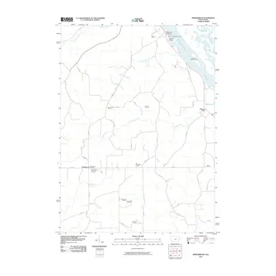
 - 1980 Map of Springbrook, 1981 Print
 1980 Springbrook1981 Print · USGSJackson County's rugged Mississippi River bluffs and inland townships are captured here in the early eighties. Local researchers can locate several family and parish burial sites such as Old Springbrook Cem and Hazen Cem or trace the river-level route of the CM STP & P railroad.
 - 1984 Map of Dubuque South, 1985 Print
 1984 Dubuque South1985 Print · USGSEastern Iowa and Northwest Illinois meet along the Mississippi in the mid-eighties, a landscape defined by river industry and limestone bluffs. Trace the rail lines of the Illinois Central Gulf or explore notable sites like the Savanna Army Depot and Maquoketa Caves State Park.4 unique versions available
 - 2010 Map of Bellevue, 2010 Print
 2010 Bellevue2010 Print · USGSCovers Bellevue, including Rice, East Galena Township, and other nearby areas
 - 2010 Map of Springbrook, 2010 Print
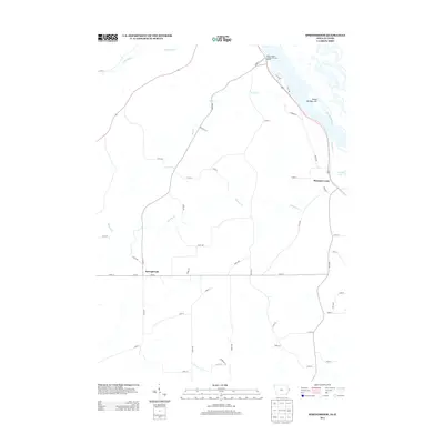
 2010 Springbrook2010 Print · USGSCovers Bellevue, including Springbrook, Hanover Township, and other nearby areas
 - 2013 Map of Springbrook, 2013 Print
 2013 Springbrook2013 Print · USGSCovers Bellevue, including Springbrook, Hanover Township, and other nearby areas
 - 2013 Map of Bellevue, 2013 Print
 2013 Bellevue2013 Print · USGSCovers Bellevue, including Rice, East Galena Township, and other nearby areas
 - 2015 Map of Bellevue, 2015 Print
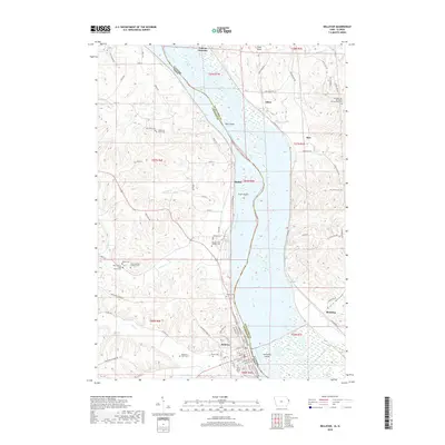
 2015 Bellevue2015 Print · USGSCovers Bellevue, including Rice, East Galena Township, and other nearby areas
 - 2015 Map of Springbrook, 2015 Print
 2015 Springbrook2015 Print · USGSCovers Bellevue, including Springbrook, Hanover Township, and other nearby areas
 - 2018 Map of Bellevue, 2018 Print
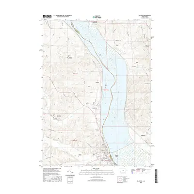
 2018 Bellevue2018 Print · USGSCovers Bellevue, including Rice, East Galena Township, and other nearby areas
 - 2018 Map of Springbrook, 2018 Print
 2018 Springbrook2018 Print · USGSCovers Bellevue, including Springbrook, Hanover Township, and other nearby areas
 - 2022 Map of Springbrook, 2022 Print
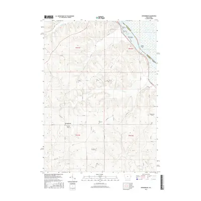
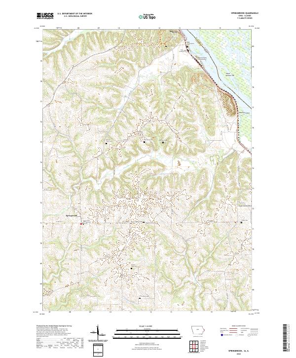 2022 Springbrook2022 Print · USGSJackson County, Iowa, and the Mississippi River are shown here in modern detail as the river winds past the bluffs. Genealogists can trace numerous family burial sites like Old Springbrook Cem and Dyas Cem alongside the historic Bellevue town site.
 - 2022 Map of Bellevue, 2022 Print
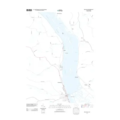
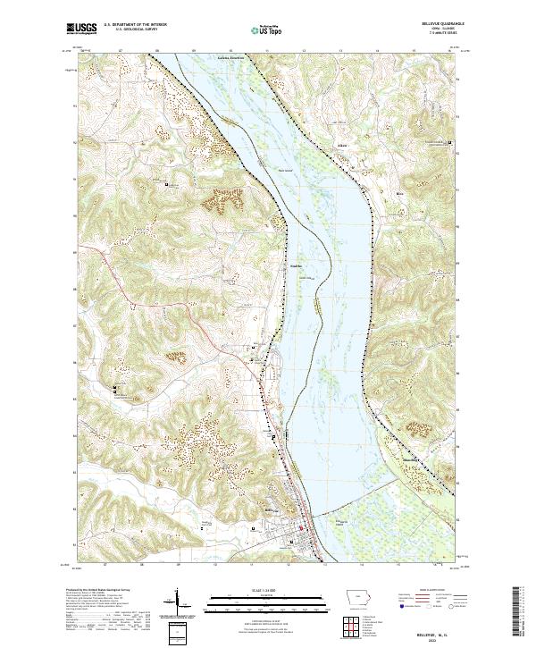 2022 Bellevue2022 Print · USGSThe Mississippi River divides Iowa and Illinois in this contemporary survey of the river bluffs and bottomlands. Genealogists can trace family locations through numerous rural burial sites like Saint Josephs Cem, Potter Cem, and the North Spruce Creek Church Cem.
End of results
Showing maps 1-21 of 21
Top cities near Bellevue
- Dubuque historical maps
- Maquoketa historical maps
- Galena historical maps
- East Dubuque historical maps
- Preston historical maps
- Guilford historical maps
See more
Frequently asked questions
- What are the different types of historical maps available for Bellevue?
- What is the oldest map of Bellevue?
- Where can I purchase historical maps of Bellevue for my home or office?
- Where can I download high-res historical maps of Bellevue?
- Are there historical topographic maps available for Bellevue?
- Is there historical aerial imagery available for Bellevue?
- Where are historical maps of Bellevue sourced from?