Old Maps of Amber, Iowa for Metal Detecting
Plan your next treasure hunt with 13 historic maps of Amber. Find old homesites, ghost towns, trails, and gathering spots that may be lost to time — perfect for identifying promising metal detecting locations.
- Locate forgotten sites: Uncover places like long-lost settlements, abandoned rail lines, or gathering spots.
- Plan better hunts: Use map overlays combined with LiDAR or satellite views to narrow in on historically rich areas.
- Made for detectorists: Thousands of hobbyists use these maps to discover relics, coins, and hidden history.
Use these historic maps to boost your research and find new opportunities beneath the surface of Amber.
Amber, IA maps
(13)- 1891 Map of Monticello
 1891 Monticello1891 Print · USGSJones County at the peak of the rail era shows a landscape organized by iron rails and river bends. Trace the junctions and early plats of Monticello, Center Junction, and Wyoming along the Chicago and North Western Railroad.3 unique versions available
 - 1900 Map of Anamosa
 1900 Anamosa1900 Print · USGSEastern Iowa is shown here during the peak of its rail-driven development at the end of the century. Genealogists and historians can trace the early layouts of Anamosa and Monticello or locate smaller settlements like Sand Spring and Rockville.4 unique versions available
 - 1959 Map of Dubuque, 1982 Print
 1959 Dubuque1982 Print · USGSThe Tri-State region comes alive in the mid-twentieth century as a hub of river commerce and rail transit. Genealogists and historians can trace the paths of the Illinois Central Gulf through Dubuque or locate the Savanna Ordnance Depot and Lock and Dam No 11.
 - 1961 Map of Dubuque
 1961 Dubuque1961 Print · USGSThe Tri-State region's river-and-rail landscape is captured here during the early sixties, showing the convergence of Iowa, Illinois, and Wisconsin. Trace mid-century rail lines like the Chicago Great Western Ry and explore sites like the Savanna Ordnance Depot and Backbone State Park.
 - 1962 Map of Dubuque
 1962 Dubuque1962 Print · USGSThe Tri-State region's river-and-rail economy is captured here in the early sixties, centered on the Mississippi River bluffs. Genealogists and historians can locate Numerous lead and zinc mines, the New Melleray Abbey Monastery, and rural hubs like Saint Olaf.2 unique versions available
 - 1976 Map of Dubuque
 1976 Dubuque1976 Print · USGSThe tri-state borderlands of Iowa, Wisconsin, and Illinois come alive during the mid-seventies, showing a region built on river commerce and mining. Genealogists and historians can trace the paths of the Illinois Central railroad or locate heritage sites like the New Melleray Abbey Monastery and Backbone State Park.
 - 1980 Map of Monticello, 1981 Print
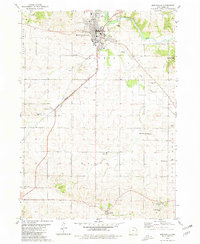 1980 Monticello1981 Print · USGSMonticello and its surrounding townships are captured in the early 1980s, revealing a landscape defined by the river and the rail line. Researchers can trace rural lineages through numerous burial sites and churches, from Oakwood Cem to Edinburg and Zion Ch.
 - 1984 Map of Anamosa, 1985 Print
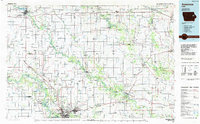 1984 Anamosa1985 Print · USGSEastern Iowa's river valleys and farming communities are captured here in the mid-eighties, showing a landscape defined by the Wapsipinicon River and Maquoketa River. Genealogists and historians can locate legacy landmarks like the Independence State Hospital, Ebys Mill, and the State Penal Farm.2 unique versions available
 - 2010 Map of Monticello, 2010 Print
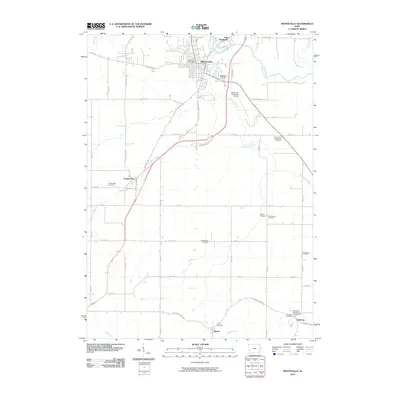 2010 Monticello2010 Print · USGSJones County at the turn of the decade is centered on the river city of Monticello and its surrounding agricultural townships. Genealogists and historians can trace numerous family burial sites such as Oakwood Cemetery or visit the Edinburgh Ghost Town and Museum.
 - 2013 Map of Monticello, 2013 Print
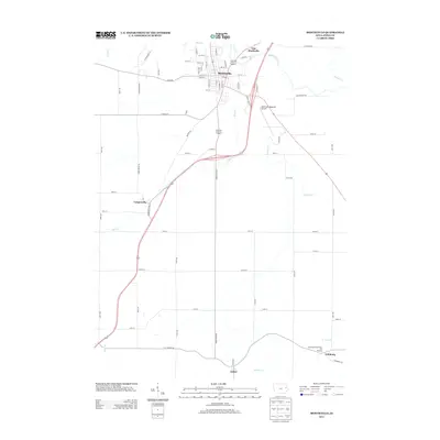 2013 Monticello2013 Print · USGSJones County at the start of the 2010s reveals a structured agricultural landscape centered on the Maquoketa River. Genealogists and local historians can trace the road to the Edinburgh Ghost Town and Museum or explore the smaller hamlets of Langworthy and Amber.
 - 2015 Map of Monticello, 2015 Print
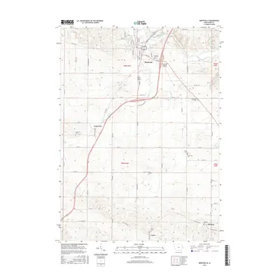 2015 Monticello2015 Print · USGSJones County's agricultural heartland is documented here in the early twenty-first century, centered on the Maquoketa River corridor. Researchers can trace family roots through numerous rural burial sites like Kiburz Cem and Amber Cem, or locate the outlying settlements of Langworthy and Edinburg.
 - 2018 Map of Monticello, 2018 Print
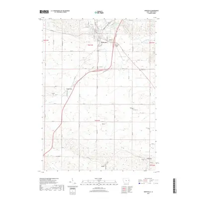 2018 Monticello2018 Print · USGSJones County at the close of the 2010s shows a landscape deeply tied to its rural roots and river valleys. Genealogists and local historians can locate numerous burial sites, including Langworthy Cem, Edinburg Cem, and the Saint Johns Evangelical Cem.
 - 2022 Map of Monticello, 2022 Print
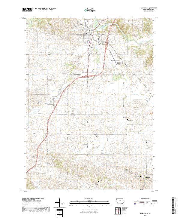 2022 Monticello2022 Print · USGSJones County, Iowa, is captured here in the early twenty-first century as a landscape of quiet river valleys and deeply rooted rural communities. Researchers can trace family history through a remarkable number of local burial sites, including Wayne Zion Cem, Kiburz Cem, and Edinburg Cem.
End of results
Showing maps 1-13 of 13
Top cities near Amber
- Anamosa historical maps
- Mount Vernon historical maps
- Monticello historical maps
- Cascade historical maps
- Lisbon historical maps
- Mechanicsville historical maps
See more
Frequently asked questions
- What are the different types of historical maps available for Amber?
- What is the oldest map of Amber?
- Where can I purchase historical maps of Amber for my home or office?
- Where can I download high-res historical maps of Amber?
- Are there historical topographic maps available for Amber?
- Is there historical aerial imagery available for Amber?
- Where are historical maps of Amber sourced from?