Old Maps of Morley, Iowa for Hiking & Exploration
Hike through history with 13 historic maps of Morley. Explore old trails, ghost towns, and forgotten backroads — perfect for outdoor adventurers and local explorers.
- Rediscover forgotten places: Map out old mining camps, roads, and footpaths that no longer exist on modern maps.
- Layer with modern tools: Combine with LiDAR or satellite views to plan hikes through historical terrain.
- Made for exploration: Popular among hikers, overlanders, and local history lovers.
Use these maps to find adventure and explore the hidden past of Morley.
Morley, IA maps
(13)- 1891 Map of Monticello
 1891 Monticello1891 Print · USGSJones County at the peak of the rail era shows a landscape organized by iron rails and river bends. Trace the junctions and early plats of Monticello, Center Junction, and Wyoming along the Chicago and North Western Railroad.3 unique versions available
 - 1900 Map of Anamosa
 1900 Anamosa1900 Print · USGSEastern Iowa is shown here during the peak of its rail-driven development at the end of the century. Genealogists and historians can trace the early layouts of Anamosa and Monticello or locate smaller settlements like Sand Spring and Rockville.4 unique versions available
 - 1959 Map of Dubuque, 1982 Print
 1959 Dubuque1982 Print · USGSThe Tri-State region comes alive in the mid-twentieth century as a hub of river commerce and rail transit. Genealogists and historians can trace the paths of the Illinois Central Gulf through Dubuque or locate the Savanna Ordnance Depot and Lock and Dam No 11.
 - 1961 Map of Dubuque
 1961 Dubuque1961 Print · USGSThe Tri-State region's river-and-rail landscape is captured here during the early sixties, showing the convergence of Iowa, Illinois, and Wisconsin. Trace mid-century rail lines like the Chicago Great Western Ry and explore sites like the Savanna Ordnance Depot and Backbone State Park.
 - 1962 Map of Dubuque
 1962 Dubuque1962 Print · USGSThe Tri-State region's river-and-rail economy is captured here in the early sixties, centered on the Mississippi River bluffs. Genealogists and historians can locate Numerous lead and zinc mines, the New Melleray Abbey Monastery, and rural hubs like Saint Olaf.2 unique versions available
 - 1976 Map of Dubuque
 1976 Dubuque1976 Print · USGSThe tri-state borderlands of Iowa, Wisconsin, and Illinois come alive during the mid-seventies, showing a region built on river commerce and mining. Genealogists and historians can trace the paths of the Illinois Central railroad or locate heritage sites like the New Melleray Abbey Monastery and Backbone State Park.
 - 1980 Map of Morley, 1981 Print
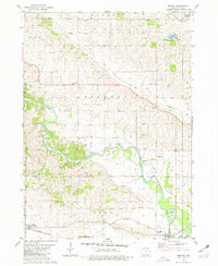 1980 Morley1981 Print · USGSThe Wapsipinicon River valley in Jones County is captured here in the early eighties, as rail lines still connected the river towns. Researchers can locate the State Penal Farm, Antioch Church, and several rural burial grounds like Graffit Cemetery.
 - 1984 Map of Anamosa, 1985 Print
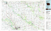 1984 Anamosa1985 Print · USGSEastern Iowa's river valleys and farming communities are captured here in the mid-eighties, showing a landscape defined by the Wapsipinicon River and Maquoketa River. Genealogists and historians can locate legacy landmarks like the Independence State Hospital, Ebys Mill, and the State Penal Farm.2 unique versions available
 - 2010 Map of Morley, 2010 Print
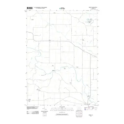 2010 Morley2010 Print · USGSJones County's river valleys and rural crossroads are captured in this 2010 survey of eastern Iowa. Researchers can trace family history through a high density of rural burial grounds like Midland Cemetery and landmarks such as the Fremont Mill Bridge.
 - 2013 Map of Morley, 2013 Print
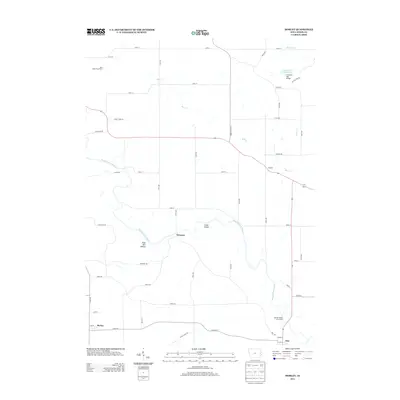 2013 Morley2013 Print · USGSJones County, Iowa, is captured here in the early twenty-first century as a landscape of river-bottom lands and agricultural crossroads. Researchers can locate specific family landmarks and infrastructure including the Fremont Mill Bridge, the Iowa State Penal Farm, and small communities like Newport and Morley.
 - 2015 Map of Morley, 2015 Print
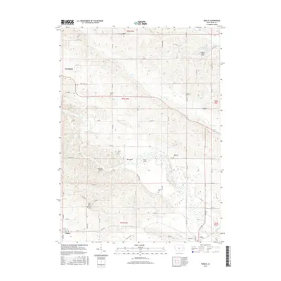 2015 Morley2015 Print · USGSJones County at the peak of the 2010s reveals a preserved landscape of rural Iowa life and river-valley settlements. Researchers can trace family history through numerous country burial grounds like Grafft Cem or locate landmarks such as the Fremont Mill Bridge.
 - 2018 Map of Morley, 2018 Print
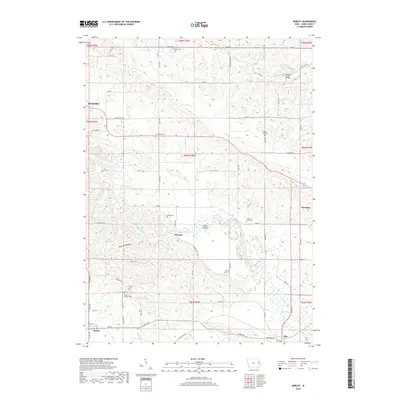 2018 Morley2018 Print · USGSJones County at the edge of the Wapsipinicon valley remains a patchwork of river bends and rural crossroads. Genealogists and local historians can trace family ties at sites like Antioch Cem, Hazel Green Cem, and the crossing at Fremont Mill Bridge.
 - 2022 Map of Morley, 2022 Print
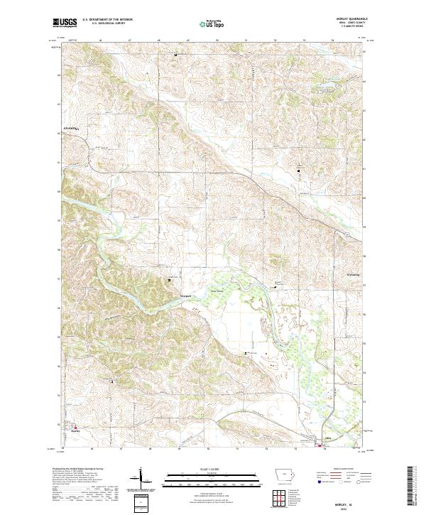 2022 Morley2022 Print · USGSJones County at the start of the 2020s shows a landscape defined by the winding Wapsipinicon River and its rural settlements. Researchers can trace old family roots through numerous burial sites like Merritt Cem and Grafft Cem or explore the river terrain around Cedar Island.
End of results
Showing maps 1-13 of 13
Top cities near Morley
- Anamosa historical maps
- Mount Vernon historical maps
- Monticello historical maps
- Tipton historical maps
- Lisbon historical maps
- Springville historical maps
See more
Frequently asked questions
- What are the different types of historical maps available for Morley?
- What is the oldest map of Morley?
- Where can I purchase historical maps of Morley for my home or office?
- Where can I download high-res historical maps of Morley?
- Are there historical topographic maps available for Morley?
- Is there historical aerial imagery available for Morley?
- Where are historical maps of Morley sourced from?