Old Maps of Marion, Iowa for Academic Research
Study the evolution of Marion with 23 high-resolution historic maps. Whether you're teaching, researching, or modeling changes in land use, these maps provide essential visual documentation of urban, environmental, and geographic change.
- Analyze long-term change: Track patterns in development, transportation, and natural features.
- Ideal for environmental or urban studies: Support academic projects with primary historical map data.
- Use in the classroom or lab: Educators and researchers rely on these maps to bring historical context to life.
These maps are a powerful tool for teaching, research, and visualizing how Marion has changed over the decades.
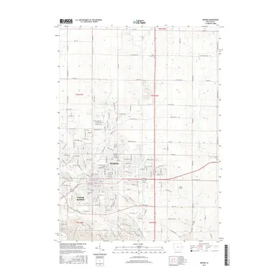
Marion, IA maps
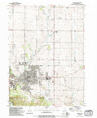
(23)- 1888 Map of Marion
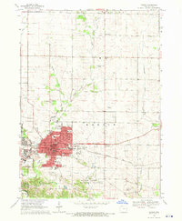
 1888 Marion1888 Print · USGSLinn County thrives as a late 19th-century rail center where major lines intersect at the growing town of Marion. Genealogists and historians can trace the early township divisions and steam-era routes like the Illinois Central Railroad and Central City.
 - 1889 Map of Marion
 1889 Marion1889 Print · USGSMarion and the surrounding townships in the 1880s show a landscape transformed by the iron horse and river trade. Genealogists can trace the early rail-connected footprints of Marion, Central City, and Toddville along the Illinois Central Railroad.3 unique versions available
 - 1903 Map of Winthrop
 1903 Winthrop1903 Print · USGSEast Central Iowa was a landscape of thriving rail towns and river crossings at the turn of the century. Genealogists and historians can trace the early footprints of Independence and Marion, or locate smaller centers like Quasqueton and Toddville.2 unique versions available
 - 1959 Map of Dubuque, 1982 Print
 1959 Dubuque1982 Print · USGSThe Tri-State region comes alive in the mid-twentieth century as a hub of river commerce and rail transit. Genealogists and historians can trace the paths of the Illinois Central Gulf through Dubuque or locate the Savanna Ordnance Depot and Lock and Dam No 11.
 - 1961 Map of Dubuque
 1961 Dubuque1961 Print · USGSThe Tri-State region's river-and-rail landscape is captured here during the early sixties, showing the convergence of Iowa, Illinois, and Wisconsin. Trace mid-century rail lines like the Chicago Great Western Ry and explore sites like the Savanna Ordnance Depot and Backbone State Park.
 - 1962 Map of Dubuque
 1962 Dubuque1962 Print · USGSThe Tri-State region's river-and-rail economy is captured here in the early sixties, centered on the Mississippi River bluffs. Genealogists and historians can locate Numerous lead and zinc mines, the New Melleray Abbey Monastery, and rural hubs like Saint Olaf.2 unique versions available
 - 1967 Map of Cedar Rapids North, 1969 Print
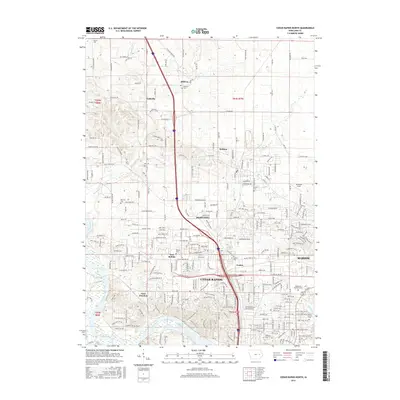
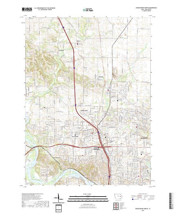
 1967 Cedar Rapids North1969 Print · USGSNorthern Linn County was undergoing rapid suburban transformation in the late sixties as residential blocks expanded toward the older rail junctions. Researchers can trace the mid-century footprint of Hiawatha and Robins, finding vanished landmarks like the Drive-in Theater and the early Lindale Plaza Shopping Center.2 unique versions available
 - 1968 Map of Marion, 1970 Print
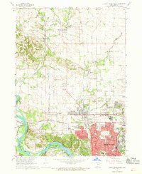
 1968 Marion1970 Print · USGSMid-century Iowa comes to life in this detailed survey of Marion, showing the community as it expanded along the Chicago Milwaukee St Paul and Pacific rail line. Genealogists can trace family roots at Crabapple Cemetery or locate old neighborhood landmarks like Washington School and the County Home.3 unique versions available
 - 1975 Map of Cedar Rapids North, 1976 Print
 1975 Cedar Rapids North1976 Print · USGSCedar Rapids and Hiawatha show significant suburban expansion in the mid-seventies as new developments spread toward Toddville. Researchers can trace local landmarks like Mount Mercy College, Dunkard Ch, and the Chain Lakes Landing Strip during this era of growth.
 - 1976 Map of Dubuque
 1976 Dubuque1976 Print · USGSThe tri-state borderlands of Iowa, Wisconsin, and Illinois come alive during the mid-seventies, showing a region built on river commerce and mining. Genealogists and historians can trace the paths of the Illinois Central railroad or locate heritage sites like the New Melleray Abbey Monastery and Backbone State Park.
 - 1984 Map of Anamosa, 1985 Print
 1984 Anamosa1985 Print · USGSEastern Iowa's river valleys and farming communities are captured here in the mid-eighties, showing a landscape defined by the Wapsipinicon River and Maquoketa River. Genealogists and historians can locate legacy landmarks like the Independence State Hospital, Ebys Mill, and the State Penal Farm.2 unique versions available
 - 1994 Map of Cedar Rapids North
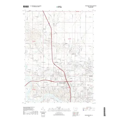
 1994 Cedar Rapids North1994 Print · USGSNorthern Linn County emerges in the early nineties as suburban expansion moves toward established communities like Toddville and Robins. Researchers can trace local genealogy at Dunkard Cem, explore the Cedar Valley Nature Trail, or locate landmarks like Mcbride Airfield.2 unique versions available
 - 1994 Map of Marion
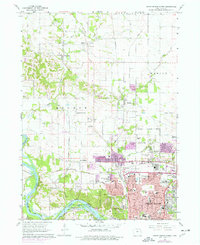
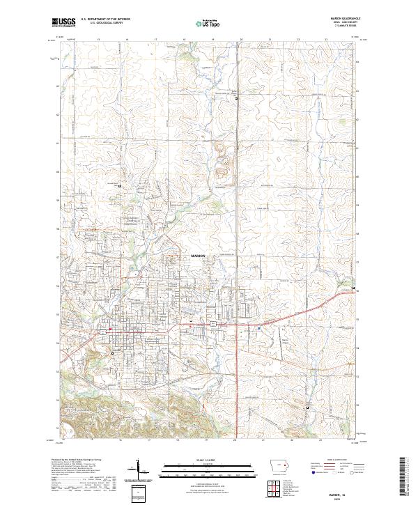
 1994 Marion1994 Print · USGSMarion and the northern reaches of Cedar Rapids are captured here in the mid-nineties, showing a landscape of rapid suburban growth and established rural roots. Researchers can trace local genealogy and land use through landmarks like Oakshade Cem, the OLD RAILROAD GRADE, and schools such as Linn-Mar Sch.
 - 2010 Map of Marion, 2010 Print
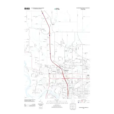
 2010 Marion2010 Print · USGSCovers Marion, including Cedar Rapids, Linn County, and other nearby areas
 - 2010 Map of Cedar Rapids North, 2010 Print
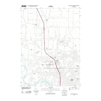 2010 Cedar Rapids North2010 Print · USGSCovers Marion, including Cedar Rapids, Hiawatha, and other nearby areas
 - 2013 Map of Marion, 2013 Print
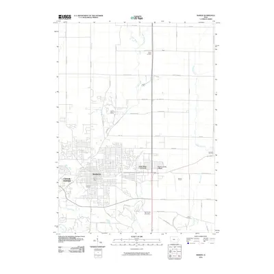
 2013 Marion2013 Print · USGSCovers Marion, including Cedar Rapids, Linn County, and other nearby areas
 - 2013 Map of Cedar Rapids North, 2013 Print
 2013 Cedar Rapids North2013 Print · USGSCovers Marion, including Cedar Rapids, Hiawatha, and other nearby areas
 - 2015 Map of Marion, 2015 Print
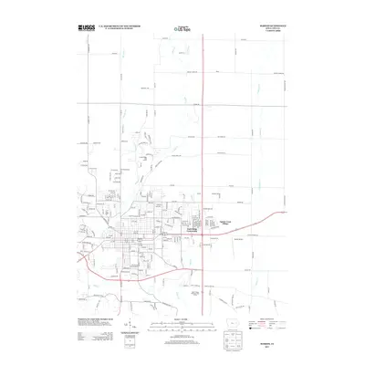
 2015 Marion2015 Print · USGSCovers Marion, including Cedar Rapids, Linn County, and other nearby areas
 - 2015 Map of Cedar Rapids North, 2015 Print
 2015 Cedar Rapids North2015 Print · USGSCovers Marion, including Cedar Rapids, Hiawatha, and other nearby areas
 - 2018 Map of Cedar Rapids North, 2018 Print
 2018 Cedar Rapids North2018 Print · USGSCovers Marion, including Cedar Rapids, Hiawatha, and other nearby areas
 - 2018 Map of Marion, 2018 Print
 2018 Marion2018 Print · USGSCovers Marion, including Cedar Rapids, Linn County, and other nearby areas
 - 2022 Map of Cedar Rapids North, 2022 Print
 2022 Cedar Rapids North2022 Print · USGSThe northern reaches of Cedar Rapids and the surrounding communities of Linn County are shown here in modern detail. Genealogists and historians can locate several family and community landmarks, such as Dunkard Cemetery, Linn Junction, and Mount Mercy University.
 - 2023 Map of Marion, 2023 Print
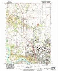
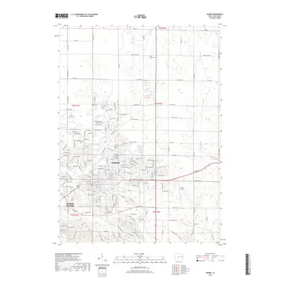
 2023 Marion2023 Print · USGSMarion and its rural Linn County surroundings are documented here in the early 2020s as urban growth meets longstanding family landmarks. Genealogists and local historians can trace legacy sites like Oakshade Cem, Hoosier Bend, and Martin Creek Cem amidst the changing suburban landscape.
End of results
Showing maps 1-23 of 23
Top cities near Marion
- Cedar Rapids historical maps
- Hiawatha historical maps
- Mount Vernon historical maps
- Robins historical maps
- Fairfax historical maps
- Center Point historical maps
See more
Top neighborhoods of Marion
Frequently asked questions
- What are the different types of historical maps available for Marion?
- What is the oldest map of Marion?
- Where can I purchase historical maps of Marion for my home or office?
- Where can I download high-res historical maps of Marion?
- Are there historical topographic maps available for Marion?
- Is there historical aerial imagery available for Marion?
- Where are historical maps of Marion sourced from?