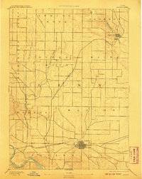
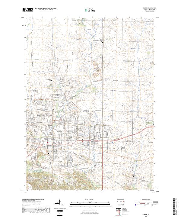
1888 Map of Marion
USGS Topo · Published 1888About this map
Marion serves as a major railway hub in this late 19th-century survey of Linn County, anchored by a dense grid of streets and significant rail infrastructure. The landscape is defined by the converging routes of the Chicago Milwaukee and St. Paul Railroad and the Burlington Cedar Rapids and Northern Railroad, which connect the town to the broader regional economy. To the north, Central City is situated along a sharp bend of the Wapsipinicon River, while the Illinois Central Railroad cuts diagonally across the townships of Maine and Otter Creek. The drainage patterns of the East Branch Otter Creek and West Branch Otter Creek illustrate the dissected terrain typical of the area before modern agricultural leveling, providing a detailed look at the hydrology feeding into the Cedar River at the southern edge of the quadrangle.
Find a feature on this map
20 named features on this map. Tap any name to fly to it.
Don’t see what you’re looking for? This feature index may not catch every label — zoom into the map to look around manually.
Map Details
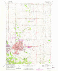
Editions of this 1888 Marion Map
This is the sole edition of this map. No revisions or reprints were ever made.
Historical Maps of Cedar Rapids Through Time
9 maps found