Old Maps of Doon, Iowa for Hiking & Exploration
Hike through history with 9 historic maps of Doon. Explore old trails, ghost towns, and forgotten backroads — perfect for outdoor adventurers and local explorers.
- Rediscover forgotten places: Map out old mining camps, roads, and footpaths that no longer exist on modern maps.
- Layer with modern tools: Combine with LiDAR or satellite views to plan hikes through historical terrain.
- Made for exploration: Popular among hikers, overlanders, and local history lovers.
Use these maps to find adventure and explore the hidden past of Doon.
Doon, IA maps
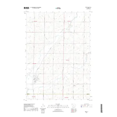
(9)- 1955 Map of Sioux Falls, 1967 Print
 1955 Sioux Falls1967 Print · USGSThe eastern South Dakota and western Minnesota borderlands come alive in the mid-fifties, showing the vital rail-to-river connections of the era. Genealogists can trace family footprints across townships like Madison and Pipestone, while following the paths of the Big Sioux River and the Chicago and North Western line.3 unique versions available
 - 1958 Map of Sioux Falls
 1958 Sioux Falls1958 Print · USGSThe tri-state borderlands of South Dakota, Minnesota, and Iowa are captured here during the mid-century peak of the regional rail network. Genealogists and historians can trace local landmarks like Augustana Academy, the St Marys Cem, and the path of the Illinois Central through Rock Rapids.
 - 1971 Map of Doon, 1973 Print
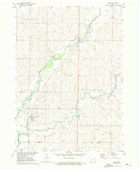 1971 Doon1973 Print · USGSDoon and its surrounding river valleys are captured here in the early seventies during a period of steady agricultural and rail activity. Researchers can trace the Burlington Northern line through town or locate family sites near Township Cem and Lakewood Corner.
 - 1985 Map of Rock Rapids
 1985 Rock Rapids1985 Print · USGSThe borderlands of South Dakota and Iowa come into focus in the mid-1980s, centered on the fertile valleys of the Big Sioux River. Genealogists and researchers can trace rural homesteads near Rock Rapids, find Dordt College in Sioux Center, or locate old burial sites like Grace Hill Cem.2 unique versions available
 - 2010 Map of Doon, 2010 Print
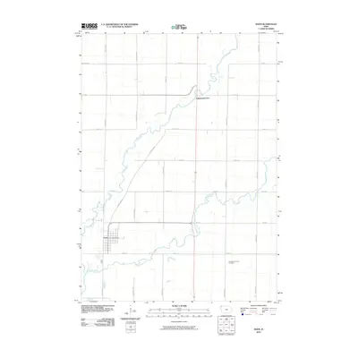 2010 Doon2010 Print · USGSCovers Doon, including Lakewood Corner, Sioux County, and other nearby areas
 - 2013 Map of Doon, 2013 Print
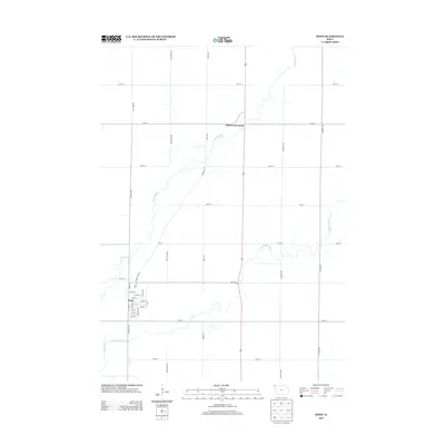 2013 Doon2013 Print · USGSCovers Doon, including Lakewood Corner, Sioux County, and other nearby areas
 - 2015 Map of Doon, 2015 Print
 2015 Doon2015 Print · USGSCovers Doon, including Lakewood Corner, Sioux County, and other nearby areas
 - 2018 Map of Doon, 2018 Print
 2018 Doon2018 Print · USGSCovers Doon, including Lakewood Corner, Sioux County, and other nearby areas
 - 2022 Map of Doon, 2022 Print
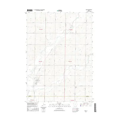
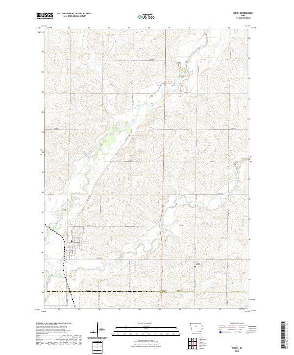 2022 Doon2022 Print · USGSNorthwestern Iowa's agricultural heartland is captured here in the early twenty-first century, centered on the settlement of Doon. Genealogists and local researchers can trace the confluence of the Rock River and Little Rock River or locate the Garfield Township Cem.
End of results
Showing maps 1-9 of 9
Top cities near Doon
- Sioux Center historical maps
- Rock Valley historical maps
- Rock Rapids historical maps
- Hull historical maps
- George historical maps
- Inwood historical maps
See more
Frequently asked questions
- What are the different types of historical maps available for Doon?
- What is the oldest map of Doon?
- Where can I purchase historical maps of Doon for my home or office?
- Where can I download high-res historical maps of Doon?
- Are there historical topographic maps available for Doon?
- Is there historical aerial imagery available for Doon?
- Where are historical maps of Doon sourced from?