2000s (21st Century) Maps of Melcher-Dallas, Dallas Township
Explore 10 historic maps of Melcher-Dallas from the 2000s (21st Century). These maps offer a rare glimpse into what life looked like during the 2000s — showing old roads, neighborhoods, homes, and landmarks that have changed or disappeared over time.
Whether you're researching your family's past, planning a metal detecting trip, or studying how Melcher-Dallas's landscape evolved across the 2000s, these high-resolution maps are a powerful tool for exploring the history of this region.
- Focus on a specific era: All maps on this page are from the 2000s, giving you a focused view of this time period.
- See what’s changed: Compare century-old streets, trails, and buildings to today's modern landscape using overlays and satellite layers.
- Research with precision: Use these maps for genealogy, historical research, land use analysis, or educational projects.
- View, download, or print: Maps are fully viewable online in high resolution, and can be downloaded or printed for your own records.
Start exploring Melcher-Dallas's history through authentic maps from the 2000s. This is your window into the past.
Melcher-Dallas, Dallas Township maps
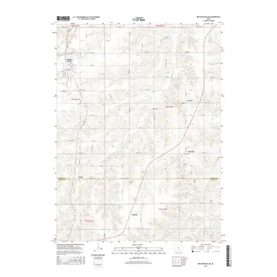
(10)- 2010 Map of Melcher-Dallas, 2010 Print
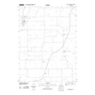 2010 Melcher-Dallas2010 Print · USGSCovers Melcher-Dallas, including Purdy, Belinda, and other nearby areas
 - 2010 Map of Newbern, 2010 Print
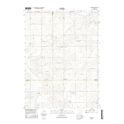
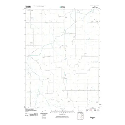 2010 Newbern2010 Print · USGSCovers Melcher-Dallas, including White Breast Township, Dallas Township, and other nearby areas
 - 2013 Map of Melcher-Dallas, 2013 Print
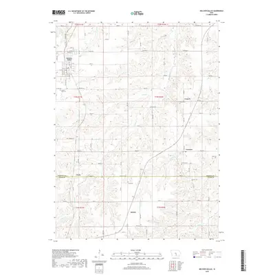
 2013 Melcher-Dallas2013 Print · USGSCovers Melcher-Dallas, including Purdy, Belinda, and other nearby areas
 - 2013 Map of Newbern, 2013 Print
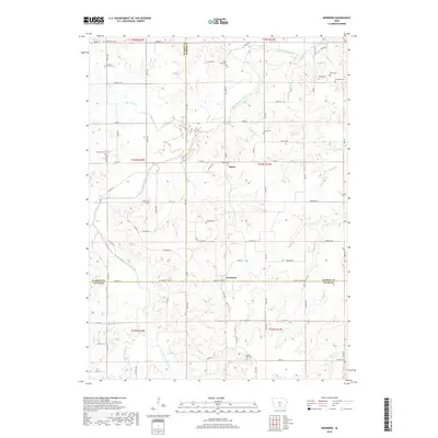
 2013 Newbern2013 Print · USGSCovers Melcher-Dallas, including White Breast Township, Dallas Township, and other nearby areas
 - 2015 Map of Melcher-Dallas, 2015 Print
 2015 Melcher-Dallas2015 Print · USGSCovers Melcher-Dallas, including Purdy, Belinda, and other nearby areas
 - 2015 Map of Newbern, 2015 Print
 2015 Newbern2015 Print · USGSCovers Melcher-Dallas, including White Breast Township, Dallas Township, and other nearby areas
 - 2018 Map of Newbern, 2018 Print
 2018 Newbern2018 Print · USGSCovers Melcher-Dallas, including White Breast Township, Dallas Township, and other nearby areas
 - 2018 Map of Melcher-Dallas, 2018 Print
 2018 Melcher-Dallas2018 Print · USGSCovers Melcher-Dallas, including Purdy, Belinda, and other nearby areas
 - 2022 Map of Newbern, 2022 Print
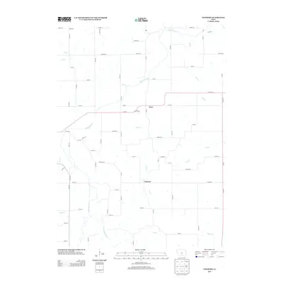
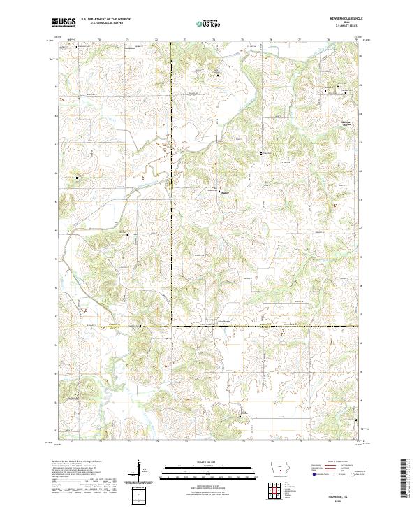 2022 Newbern2022 Print · USGSMarion and Lucas counties are shown here in the 2020s, highlighting the intersection of rural townships and winding creek valleys. Genealogists can locate numerous burial sites including Newbern Cem, Saint Josephs Cem, and Arian Cem near the town of Bauer.
 - 2022 Map of Melcher-Dallas, 2022 Print
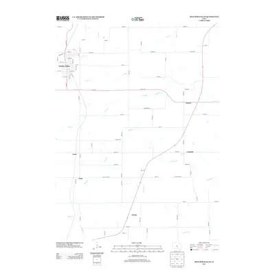
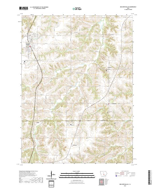 2022 Melcher-Dallas2022 Print · USGSMarion and Lucas Counties are captured here in the early twenty-first century, showcasing the rural landscapes surrounding Melcher-Dallas. Family researchers can trace local lineage through several burial grounds like Sacred Heart Cem and Clear Cem.
End of results
Showing maps 1-10 of 10
Top cities near Melcher-Dallas
- Knoxville historical maps
- Chariton historical maps
- Pleasantville historical maps
- Milo historical maps
- Hartford historical maps
- Lacona historical maps
See more
Frequently asked questions
- What are the different types of historical maps available for Melcher-Dallas?
- What is the oldest map of Melcher-Dallas?
- Where can I purchase historical maps of Melcher-Dallas for my home or office?
- Where can I download high-res historical maps of Melcher-Dallas?
- Are there historical topographic maps available for Melcher-Dallas?
- Is there historical aerial imagery available for Melcher-Dallas?
- Where are historical maps of Melcher-Dallas sourced from?