Old Maps of Summit Township, Iowa for Academic Research
Study the evolution of Summit Township with 36 high-resolution historic maps. Whether you're teaching, researching, or modeling changes in land use, these maps provide essential visual documentation of urban, environmental, and geographic change.
- Analyze long-term change: Track patterns in development, transportation, and natural features.
- Ideal for environmental or urban studies: Support academic projects with primary historical map data.
- Use in the classroom or lab: Educators and researchers rely on these maps to bring historical context to life.
These maps are a powerful tool for teaching, research, and visualizing how Summit Township has changed over the decades.
Summit Township, IA maps
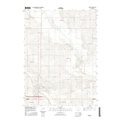
(36)- 1909 Map of Knoxville, 1958 Print
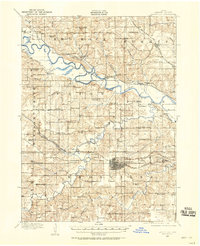 1909 Knoxville1958 Print · USGSMarion County at the start of the twentieth century is a landscape defined by its river valleys and dense network of country schools. Genealogists and historians can trace family roots through dozens of named landmarks like Stringtown School, Mt Vernon Church, and the river town of Red Rock.
 - 1910 Map of Pella, 1958 Print
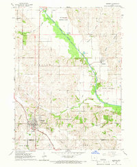
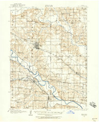 1910 Pella1958 Print · USGSMarion and Mahaska counties at the peak of the rail era show a landscape dotted with country schools and river settlements. Genealogists and historians can locate vanished schoolhouses like Bunker Hill School and trace the paths of the Chicago Rock Island and Pacific through Pella and Leighton.2 unique versions available
 - 1912 Map of Knoxville
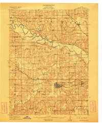 1912 Knoxville1912 Print · USGSMarion County at the dawn of the twentieth century was a landscape of bustling rail towns and river crossings. Genealogists can trace the exact locations of dozens of rural schoolhouses and churches like Stringtown School and Mt Vernon Church alongside the Des Moines River.2 unique versions available
 - 1912 Map of Pella
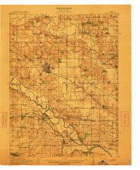 1912 Pella1912 Print · USGSThe river valleys of Marion County come alive in this pre-World War I portrait of a thriving agricultural and rail corridor. Researchers can pinpoint early homesteads near dozens of rural landmarks, including Pella, Salem Church, and the West Amsterdam School.2 unique versions available
 - 1954 Map of Des Moines, 1973 Print
 1954 Des Moines1973 Print · USGSCentral Iowa's evolving landscape is captured here in the early seventies, just as major reservoirs were reshaping the river valleys. Genealogists and historians can trace the rail corridors of the Burlington Northern or locate family roots near Pella, Indianola, and Knoxville.2 unique versions available
 - 1956 Map of Des Moines
 1956 Des Moines1956 Print · USGSCentral Iowa in the mid-fifties shows a landscape defined by bustling rail hubs and deep-rooted agricultural research. Genealogists and researchers can trace the growth of Des Moines and Ames, locate the Sac and Fox Indian Reservation, or study the paths of the Skunk River and South Skunk River.
 - 1957 Map of Des Moines
 1957 Des Moines1957 Print · USGSCentral Iowa's post-war landscape is defined here by the converging rail lines and river valleys that shaped its earliest settlements. Genealogists and historians can trace the paths of the Rock Island Railroad and locate community landmarks in Des Moines, Ames, and Newton.
 - 1965 Map of Monroe, 1966 Print
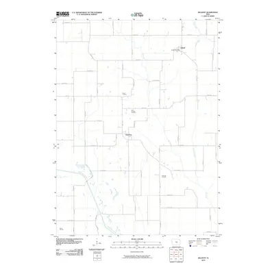
 1965 Monroe1966 Print · USGSJasper County farming communities thrive along the river during the mid-sixties as new road infrastructure begins to take shape. Genealogists can trace family roots through several local landmarks like Tools Chapel, Warren Grove Sch, and Gifford Cem.2 unique versions available
 - 1965 Map of Otley, 1966 Print
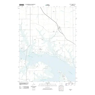
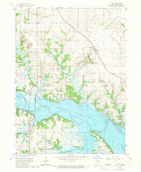 1965 Otley1966 Print · USGSMarion County underwent a massive transformation in the mid-sixties as the Des Moines River valley prepared for the rising waters of Red Rock Lake. Researchers can trace the original landscape through family cemeteries like Ruckman Cem and the small settlement of Teter.2 unique versions available
 - 1969 Map of Des Moines
 1969 Des Moines1969 Print · USGSCentral Iowa's fertile plains and growing capital are captured here during the late sixties, a time of major highway expansion and reservoir construction. Genealogists and researchers can trace rural township boundaries, local cemeteries, and rail lines serving towns like Pella, Grinnell, and Oskaloosa.
 - 1980 Map of Pella
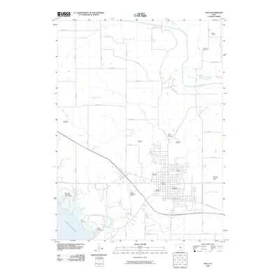
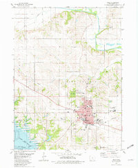 1980 Pella1980 Print · USGSPella and the surrounding Marion County farmlands are captured in the early eighties, showcasing a landscape shaped by Dutch heritage and river geography. Genealogists and historians can trace institutional roots at the Central Univ of Iowa, locate family plots at Oak Wood Cem, or follow the Chicago Rock Island and Pacific rail line.
 - 1980 Map of Killduff
 1980 Killduff1980 Print · USGSJasper County agricultural life and river geography are documented here during the late twentieth century. Genealogists and researchers can trace rural landmarks like St Andrews Ch, Hewitt Cem, and the small community of Galesburg.
 - 1982 Map of Oskaloosa
 1982 Oskaloosa1982 Print · USGSSoutheast Iowa's river valleys and rail hubs are meticulously detailed in the early eighties, showing a landscape of productive farmland and growing municipal centers. Researchers can trace the legacy of small-town life and local industry through features like Union Mills, What Cheer, and the extensive Burlington Northern rail network.
 - 1984 Map of Indianola
 1984 Indianola1984 Print · USGSSouth-central Iowa in the mid-1980s reveals a patchwork of established rail hubs and significant new conservation areas. Trace the Chicago and North Western rail lines and explore rural landmarks like Lake Ahquabi State Park or the Strip Mine near Knoxville.
 - 1984 Map of Des Moines, 1985 Print
 1984 Des Moines1985 Print · USGSCentral Iowa's heartland is captured in the mid-1980s as suburban growth met long-standing farm and rail infrastructure. Genealogists and researchers can trace the reaches of the Chicago and North Western through Maxwell or locate Laurel Hill Cem and Camp Dodge Military Reservation.2 unique versions available
 - 1984 Map of Grinnell, 1985 Print
 1984 Grinnell1985 Print · USGSCentral Iowa's prairie towns and rail corridors are captured in the mid-1980s, showcasing the agricultural grid and protected marshlands. Researchers can trace historic routes along the Chicago and North Western or locate family roots near the Sac and Fox Indian Reservation and Lake Ponderosa.2 unique versions available
 - 2010 Map of Monroe, 2010 Print
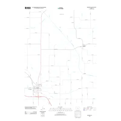
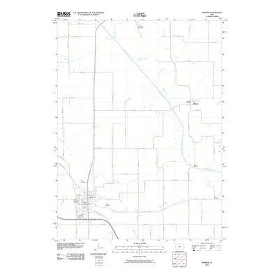 2010 Monroe2010 Print · USGSCovers Summit Township, including Monroe, Reasnor, and other nearby areas
 - 2010 Map of Otley, 2010 Print
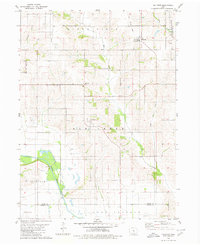
 2010 Otley2010 Print · USGSCovers Summit Township, including Knoxville Township, Union Township, and other nearby areas
 - 2010 Map of Pella, 2010 Print
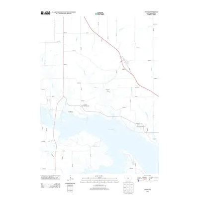
 2010 Pella2010 Print · USGSCovers Summit Township, including Pella, Lake Prairie Township, and other nearby areas
 - 2010 Map of Killduff, 2010 Print
 2010 Killduff2010 Print · USGSCovers Summit Township, including Richland Township, Lake Prairie Township, and other nearby areas
 - 2013 Map of Monroe, 2013 Print
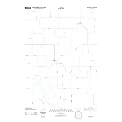
 2013 Monroe2013 Print · USGSCovers Summit Township, including Monroe, Reasnor, and other nearby areas
 - 2013 Map of Killduff, 2013 Print
 2013 Killduff2013 Print · USGSCovers Summit Township, including Richland Township, Lake Prairie Township, and other nearby areas
 - 2013 Map of Otley, 2013 Print
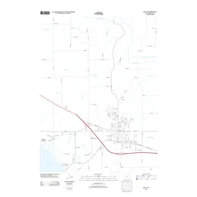
 2013 Otley2013 Print · USGSCovers Summit Township, including Knoxville Township, Union Township, and other nearby areas
 - 2013 Map of Pella, 2013 Print
 2013 Pella2013 Print · USGSCovers Summit Township, including Pella, Lake Prairie Township, and other nearby areas
 - 2015 Map of Monroe, 2015 Print
 2015 Monroe2015 Print · USGSCovers Summit Township, including Monroe, Reasnor, and other nearby areas
Showing maps 1-25 of 36
Top cities near Summit Township
- Newton historical maps
- Pella historical maps
- Knoxville historical maps
- Colfax historical maps
- Monroe historical maps
- Prairie City historical maps
See more
Top neighborhoods of Summit Township
Frequently asked questions
- What are the different types of historical maps available for Summit Township?
- What is the oldest map of Summit Township?
- Where can I purchase historical maps of Summit Township for my home or office?
- Where can I download high-res historical maps of Summit Township?
- Are there historical topographic maps available for Summit Township?
- Is there historical aerial imagery available for Summit Township?
- Where are historical maps of Summit Township sourced from?