Old Maps of Greencastle Township, Iowa for Hiking & Exploration
Hike through history with 29 historic maps of Greencastle Township. Explore old trails, ghost towns, and forgotten backroads — perfect for outdoor adventurers and local explorers.
- Rediscover forgotten places: Map out old mining camps, roads, and footpaths that no longer exist on modern maps.
- Layer with modern tools: Combine with LiDAR or satellite views to plan hikes through historical terrain.
- Made for exploration: Popular among hikers, overlanders, and local history lovers.
Use these maps to find adventure and explore the hidden past of Greencastle Township.
Greencastle Township, IA maps
(29)- 1954 Map of Des Moines, 1973 Print
 1954 Des Moines1973 Print · USGSCentral Iowa's evolving landscape is captured here in the early seventies, just as major reservoirs were reshaping the river valleys. Genealogists and historians can trace the rail corridors of the Burlington Northern or locate family roots near Pella, Indianola, and Knoxville.2 unique versions available
 - 1956 Map of Des Moines
 1956 Des Moines1956 Print · USGSCentral Iowa in the mid-fifties shows a landscape defined by bustling rail hubs and deep-rooted agricultural research. Genealogists and researchers can trace the growth of Des Moines and Ames, locate the Sac and Fox Indian Reservation, or study the paths of the Skunk River and South Skunk River.
 - 1957 Map of Des Moines
 1957 Des Moines1957 Print · USGSCentral Iowa's post-war landscape is defined here by the converging rail lines and river valleys that shaped its earliest settlements. Genealogists and historians can trace the paths of the Rock Island Railroad and locate community landmarks in Des Moines, Ames, and Newton.
 - 1969 Map of Des Moines
 1969 Des Moines1969 Print · USGSCentral Iowa's fertile plains and growing capital are captured here during the late sixties, a time of major highway expansion and reservoir construction. Genealogists and researchers can trace rural township boundaries, local cemeteries, and rail lines serving towns like Pella, Grinnell, and Oskaloosa.
 - 1980 Map of Newburg
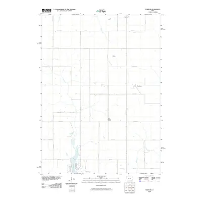
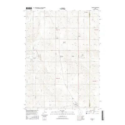
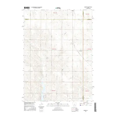
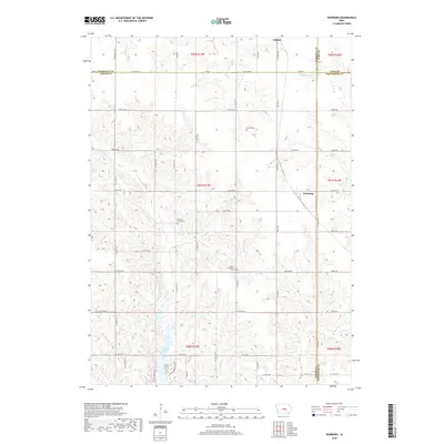
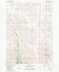 1980 Newburg1980 Print · USGSJasper and Marshall counties are captured in the 1980s as rural agricultural centers defined by the Chicago and North Western railroad. Researchers can trace local heritage through landmarks like Newburg, Hickory Grove Ch, and the recreation areas at Rock Creek State Park.
 - 1980 Map of Gilman
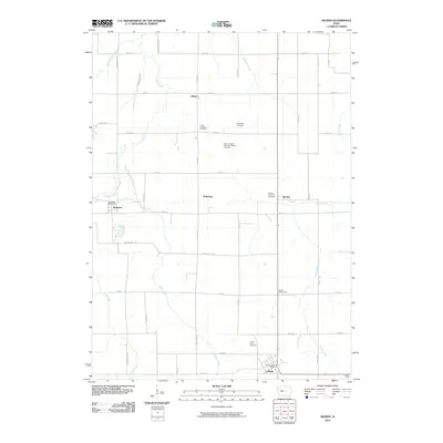
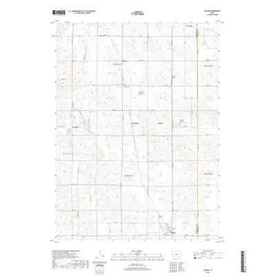
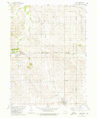 1980 Gilman1980 Print · USGSMid-century Marshall and Tama counties remain centered on their railroad heritage and small township communities. Genealogists and historians can trace the foundations of Gilman, find the rural Stavanger Ch, and locate family plots at Prairie View Cem.
 - 1980 Map of Laurel
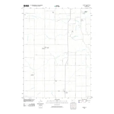
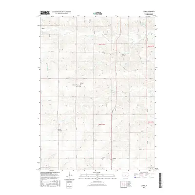
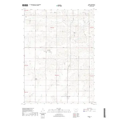
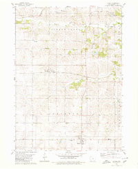 1980 Laurel1980 Print · USGSMarshall County's rural townships are captured in the late twentieth century, showing a landscape of established farmsteads and shifting rail corridors. Genealogists can locate numerous historic burial sites and churches like Center School Cem, Graceland Cem, and the Church of the Bible Covenant.
 - 1980 Map of Alloway Creek
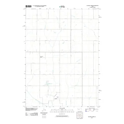
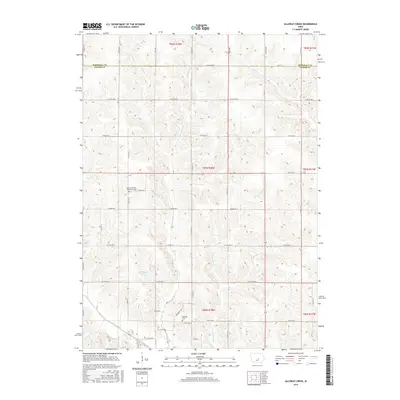
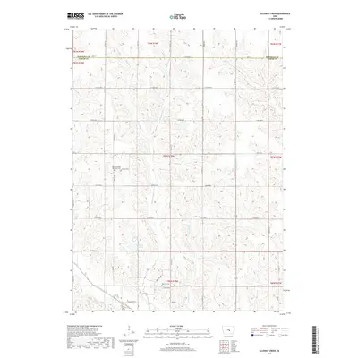
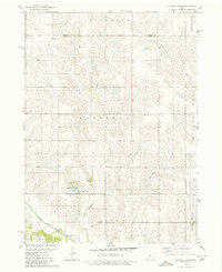 1980 Alloway Creek1980 Print · USGSThe rural borderlands of Jasper and Marshall counties come to life in this 1980 study of the Iowa heartland. Local historians can trace family roots near the Rushville Cem or explore the mid-century development of Mariposa County Park and Ken Wolfe Lake.
 - 1984 Map of Grinnell, 1985 Print
 1984 Grinnell1985 Print · USGSCentral Iowa's prairie towns and rail corridors are captured in the mid-1980s, showcasing the agricultural grid and protected marshlands. Researchers can trace historic routes along the Chicago and North Western or locate family roots near the Sac and Fox Indian Reservation and Lake Ponderosa.2 unique versions available
 - 2010 Map of Alloway Creek, 2010 Print
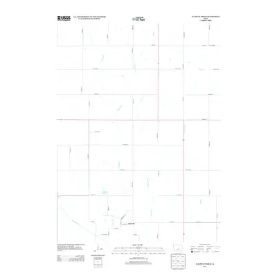
 2010 Alloway Creek2010 Print · USGSCovers Greencastle Township, including Jefferson Township, Malaka Township, and other nearby areas
 - 2010 Map of Laurel, 2010 Print
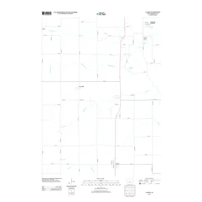
 2010 Laurel2010 Print · USGSCovers Greencastle Township, including Marshalltown, Laurel, and other nearby areas
 - 2010 Map of Gilman, 2010 Print
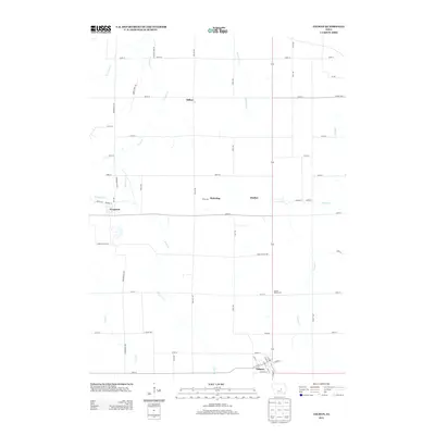
 2010 Gilman2010 Print · USGSCovers Greencastle Township, including Le Grand, Gilman, and other nearby areas
 - 2010 Map of Newburg, 2010 Print
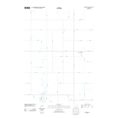
 2010 Newburg2010 Print · USGSCovers Greencastle Township, including Gilman, Newburg, and other nearby areas
 - 2013 Map of Gilman, 2013 Print
 2013 Gilman2013 Print · USGSCovers Greencastle Township, including Le Grand, Gilman, and other nearby areas
 - 2013 Map of Alloway Creek, 2013 Print
 2013 Alloway Creek2013 Print · USGSCovers Greencastle Township, including Jefferson Township, Malaka Township, and other nearby areas
 - 2013 Map of Laurel, 2013 Print
 2013 Laurel2013 Print · USGSCovers Greencastle Township, including Marshalltown, Laurel, and other nearby areas
 - 2013 Map of Newburg, 2013 Print
 2013 Newburg2013 Print · USGSCovers Greencastle Township, including Gilman, Newburg, and other nearby areas
 - 2015 Map of Gilman, 2015 Print
 2015 Gilman2015 Print · USGSCovers Greencastle Township, including Le Grand, Gilman, and other nearby areas
 - 2015 Map of Alloway Creek, 2015 Print
 2015 Alloway Creek2015 Print · USGSCovers Greencastle Township, including Jefferson Township, Malaka Township, and other nearby areas
 - 2015 Map of Laurel, 2015 Print
 2015 Laurel2015 Print · USGSCovers Greencastle Township, including Marshalltown, Laurel, and other nearby areas
 - 2015 Map of Newburg, 2015 Print
 2015 Newburg2015 Print · USGSCovers Greencastle Township, including Gilman, Newburg, and other nearby areas
 - 2018 Map of Gilman, 2018 Print
 2018 Gilman2018 Print · USGSCovers Greencastle Township, including Le Grand, Gilman, and other nearby areas
 - 2018 Map of Alloway Creek, 2018 Print
 2018 Alloway Creek2018 Print · USGSCovers Greencastle Township, including Jefferson Township, Malaka Township, and other nearby areas
 - 2018 Map of Newburg, 2018 Print
 2018 Newburg2018 Print · USGSCovers Greencastle Township, including Gilman, Newburg, and other nearby areas
 - 2018 Map of Laurel, 2018 Print
 2018 Laurel2018 Print · USGSCovers Greencastle Township, including Marshalltown, Laurel, and other nearby areas
Showing maps 1-25 of 29
Top cities near Greencastle Township
- Marshalltown historical maps
- Newton historical maps
- Grinnell historical maps
- Toledo historical maps
- Le Grand historical maps
- Kellogg historical maps
See more
Top neighborhoods of Greencastle Township
Frequently asked questions
- What are the different types of historical maps available for Greencastle Township?
- What is the oldest map of Greencastle Township?
- Where can I purchase historical maps of Greencastle Township for my home or office?
- Where can I download high-res historical maps of Greencastle Township?
- Are there historical topographic maps available for Greencastle Township?
- Is there historical aerial imagery available for Greencastle Township?
- Where are historical maps of Greencastle Township sourced from?