Old Maps of Hastings, Iowa for Hiking & Exploration
Hike through history with 16 historic maps of Hastings. Explore old trails, ghost towns, and forgotten backroads — perfect for outdoor adventurers and local explorers.
- Rediscover forgotten places: Map out old mining camps, roads, and footpaths that no longer exist on modern maps.
- Layer with modern tools: Combine with LiDAR or satellite views to plan hikes through historical terrain.
- Made for exploration: Popular among hikers, overlanders, and local history lovers.
Use these maps to find adventure and explore the hidden past of Hastings.
Hastings, IA maps
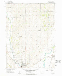
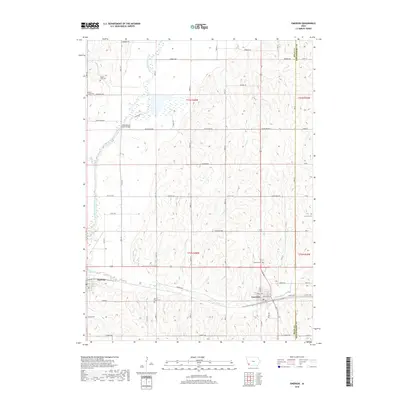
(16)- 1954 Map of Omaha, 1967 Print
 1954 Omaha1967 Print · USGSMid-century development radiates from the river bluffs into the agricultural heartland during this period of post-war growth. Genealogists and historians can trace rail-connected towns like Atlantic and Red Oak or locate the sprawling grounds of Offutt Air Force Base and Manawa Lake.3 unique versions available
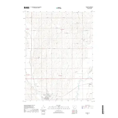
 - 1956 Map of Malvern, 1958 Print
 1956 Malvern1958 Print · USGSThe agricultural heart of Mills County comes alive in the mid-1950s, centered on the rail junction at Malvern. Researchers can trace old township schoolhouses like Centerline Sch and Pleasant Valley Sch alongside the West Nishnabotna River.2 unique versions available
 - 1957 Map of Omaha
 1957 Omaha1957 Print · USGSWestern Iowa and the Missouri River valley are seen here in the mid-fifties during the height of the rail-and-road era. Researchers can trace the sprawling rail lines of the Chicago And North Western or locate Cold War landmarks like Offutt Air Force Base.
 - 1958 Map of Omaha
 1958 Omaha1958 Print · USGSOmaha and Council Bluffs stand at the center of this mid-fifties landscape, where the Missouri River splits the urban plains of Nebraska from the rolling hills of western Iowa. Genealogists can trace the rail lines of the Wabash RR and Illinois Central RR to rural settlements like Missouri Valley and Red Oak.2 unique versions available
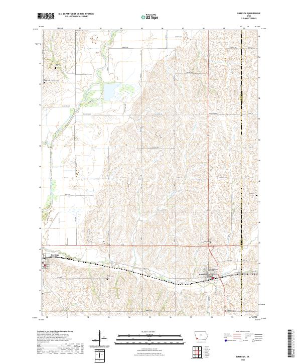
 - 1978 Map of Emerson
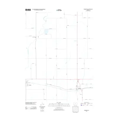
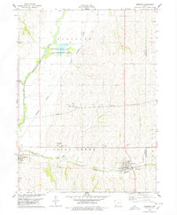 1978 Emerson1978 Print · USGSMills and Montgomery counties are captured here in the late seventies as the rail-and-river economy centered on Emerson and Hastings flourished. Genealogists can locate several local burial grounds including Hastings Cem and landmarks like the Nishua Valley Community Sch.
 - 1985 Map of Omaha
 1985 Omaha1985 Print · USGSMid-century development and heavy rail infrastructure define the Missouri River corridor between Nebraska and Iowa. Genealogists and local historians can trace the footprints of Offutt Air Force Base, Forest Lawn Cemetery, and the Iowa School for the Deaf.2 unique versions available
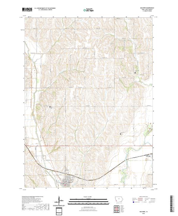
 - 2010 Map of Malvern, 2010 Print
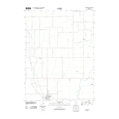 2010 Malvern2010 Print · USGSCovers Hastings, including Malvern, Mills County, and other nearby areas
 - 2010 Map of Emerson, 2010 Print
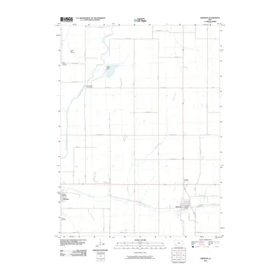 2010 Emerson2010 Print · USGSCovers Hastings, including Emerson, Mills County, and other nearby areas
 - 2013 Map of Emerson, 2013 Print
 2013 Emerson2013 Print · USGSCovers Hastings, including Emerson, Mills County, and other nearby areas
 - 2013 Map of Malvern, 2013 Print
 2013 Malvern2013 Print · USGSCovers Hastings, including Malvern, Mills County, and other nearby areas
 - 2015 Map of Emerson, 2015 Print
 2015 Emerson2015 Print · USGSCovers Hastings, including Emerson, Mills County, and other nearby areas
 - 2015 Map of Malvern, 2015 Print
 2015 Malvern2015 Print · USGSCovers Hastings, including Malvern, Mills County, and other nearby areas
 - 2018 Map of Emerson, 2018 Print
 2018 Emerson2018 Print · USGSCovers Hastings, including Emerson, Mills County, and other nearby areas
 - 2018 Map of Malvern, 2018 Print
 2018 Malvern2018 Print · USGSCovers Hastings, including Malvern, Mills County, and other nearby areas
 - 2022 Map of Emerson, 2022 Print
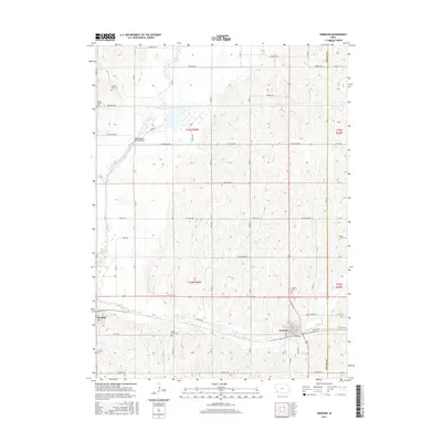
 2022 Emerson2022 Print · USGSMills and Montgomery Counties were well-established farming territories when this contemporary survey was conducted. Genealogists can trace family burial sites across the landscape at Wesley Chapel Cem, North Grove Cem, and Hastings Cem.
 - 2022 Map of Malvern, 2022 Print
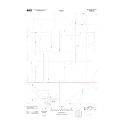
 2022 Malvern2022 Print · USGSMills County's agricultural heartland is documented here in the early 2020s, centered on the communities of Malvern and Hastings. Researchers can trace old family sites and rural landmarks like Cottonwood Cem, East Liberty Cem, and the Wabash Trace Nature Trl.
End of results
Showing maps 1-16 of 16
Top cities near Hastings
- Glenwood historical maps
- Malvern historical maps
- Treynor historical maps
- Tabor historical maps
- Carson historical maps
- Essex historical maps
See more
Frequently asked questions
- What are the different types of historical maps available for Hastings?
- What is the oldest map of Hastings?
- Where can I purchase historical maps of Hastings for my home or office?
- Where can I download high-res historical maps of Hastings?
- Are there historical topographic maps available for Hastings?
- Is there historical aerial imagery available for Hastings?
- Where are historical maps of Hastings sourced from?