Old Maps of White Cloud, Iowa for Genealogy
Trace your family roots with 11 historic maps of White Cloud. These high-res maps reveal old neighborhoods, homesites, landmarks, and streets — helping you uncover where your ancestors lived and how the area evolved over time.
- Explore historic neighborhoods: Identify where your relatives may have lived in the 1800s or 1900s.
- Compare maps over time: Trace the changes in streets, buildings, and landmarks for multi-generational research.
- Perfect for genealogy & ancestry research: Used by family historians and researchers to map out lineage and migration.
These maps are an incredible resource for exploring your personal connection to White Cloud's past.
White Cloud, IA maps
(11)- 1955 Map of Nebraska City, 1967 Print
 1955 Nebraska City1967 Print · USGSThe four-state region surrounding the Missouri River valley appears here in the mid-1950s, a landscape of rail-dependent market towns and rural school districts. Genealogists can locate family landmarks like the Rock Bluff School, St Oswald Church, and the Clarinda State Hospital.3 unique versions available
 - 1957 Map of Nebraska City
 1957 Nebraska City1957 Print · USGSThe four-state junction of Nebraska, Iowa, Missouri, and Kansas comes alive in this mid-fifties survey of the Missouri River valley. Genealogists and historians can trace the rail-and-road networks connecting Nebraska City, Maryville, and the Squaw Creek National Wildlife Refuge.
 - 1957 Map of Tabor NE, 1958 Print
 1957 Tabor NE1958 Print · USGSSouthwestern Iowa in the late 1950s was defined by its railroad arteries and shifting rural school system. Researchers can trace the WABASH rail line and identify vanished school sites like Mt Vernon Sch and Barrett Sch across the landscape.
 - 1958 Map of Nebraska City
 1958 Nebraska City1958 Print · USGSThe Missouri River Valley and its fertile four-state borderlands are captured here during the mid-century expansion of the regional highway and rail networks. Genealogists can trace family roots through numerous rural landmarks like Moulton School, Shady Grove Church, and the Clarinda State Hospital.
 - 1985 Map of Nebraska City
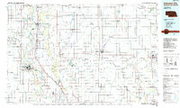 1985 Nebraska City1985 Print · USGSThe Missouri River borderlands of Nebraska, Iowa, and Missouri come into focus in the mid-1980s, showcasing a landscape of river navigation and rail-fed agriculture. Researchers can trace the heritage of Nebraska City, follow the Burlington Northern tracks, or explore river landmarks like Jones Point and McKissick Island.
 - 1993 Map of Nebraska City
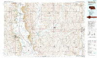 1993 Nebraska City1993 Print · USGSThe Missouri River valley and the rolling farmland of southwest Iowa are captured here in the early nineties, showing a landscape defined by water and rail. Researchers can trace the Burlington Northern lines or explore local landmarks like Arbor Lodge State Park and College Springs.
 - 2010 Map of Tabor NE, 2010 Print
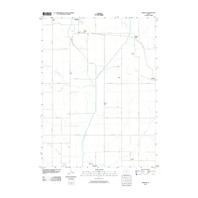 2010 Tabor NE2010 Print · USGSThe rural communities of southwestern Iowa are captured here in the early 21st century, centered on the West Nishnabotna River valley. Genealogists and historians can locate former school sites like Foxworthy School and family resting places at Parker Cemetery.
 - 2013 Map of Tabor NE, 2013 Print
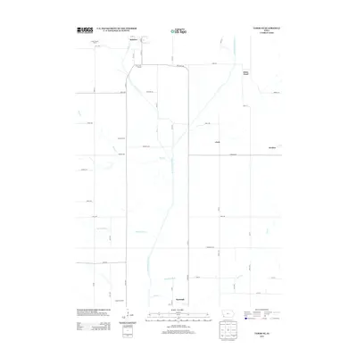 2013 Tabor NE2013 Print · USGSSouthwest Iowa's river valleys and prairie townships are captured here in the early 2010s. Genealogists and local historians can map the distribution of rural landmarks like Mount Vernon School, the crossroads at White Cloud, and the course of Kilpatrick Ditch.
 - 2015 Map of Tabor NE, 2015 Print
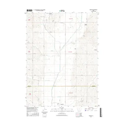 2015 Tabor NE2015 Print · USGSMills and Fremont Counties appear in this mid-2010s survey as the river-carved landscape of southwest Iowa continued to evolve. Researchers can locate several burial grounds and small settlements, including Malvern Cem, White Cloud, and Riverside Cem near Randolph.
 - 2018 Map of Tabor NE, 2018 Print
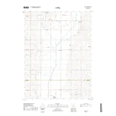 2018 Tabor NE2018 Print · USGSThe West Nishnabotna River valley near the Mills and Fremont County line is shown here in the late 2010s. Researchers can locate family burial sites at Malvern Cem or Parker Cem and trace rural settlements like White Cloud and Strahan.
 - 2022 Map of Tabor NE, 2022 Print
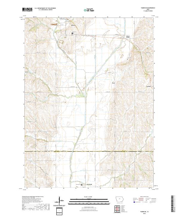 2022 Tabor NE2022 Print · USGSSouthwestern Iowa’s agricultural and rail heritage is well-preserved in this modern survey of the Mills and Fremont County line. Researchers can trace the path of the Wabash Trace Nature Trl through Malvern or locate family burial sites at Parker Cem and Randolph Cem.
End of results
Showing maps 1-11 of 11
Top cities near White Cloud
- Glenwood historical maps
- Shenandoah historical maps
- Malvern historical maps
- Tabor historical maps
- Essex historical maps
- Emerson historical maps
See more
Frequently asked questions
- What are the different types of historical maps available for White Cloud?
- What is the oldest map of White Cloud?
- Where can I purchase historical maps of White Cloud for my home or office?
- Where can I download high-res historical maps of White Cloud?
- Are there historical topographic maps available for White Cloud?
- Is there historical aerial imagery available for White Cloud?
- Where are historical maps of White Cloud sourced from?