Old Maps of Albaton, Iowa for Academic Research
Study the evolution of Albaton with 11 high-resolution historic maps. Whether you're teaching, researching, or modeling changes in land use, these maps provide essential visual documentation of urban, environmental, and geographic change.
- Analyze long-term change: Track patterns in development, transportation, and natural features.
- Ideal for environmental or urban studies: Support academic projects with primary historical map data.
- Use in the classroom or lab: Educators and researchers rely on these maps to bring historical context to life.
These maps are a powerful tool for teaching, research, and visualizing how Albaton has changed over the decades.
Albaton, IA maps
(11)- 1955 Map of Sioux City, 1959 Print
 1955 Sioux City1959 Print · USGSThe Missouri River valley in the mid-fifties is captured here during a time of major engineering and social transition. Genealogists and historians can trace the foundations of Gavins Point Dam, tribal boundaries on the Santee Sioux Indian Reservation, and local landmarks like the Norfolk State Hospital.4 unique versions available
 - 1958 Map of Sioux City
 1958 Sioux City1958 Print · USGSThe Missouri River valley in the late fifties was a bustling intersection of tribal lands, rail corridors, and river towns. Genealogists can trace family roots through specific rural sites like Daisy Valley School, St Johns Church and School, and Yankton State Hospital.
 - 1959 Map of Sioux City
 1959 Sioux City1959 Print · USGSThe tri-state region surrounding the Missouri River is captured here in the late fifties, showing the convergence of Nebraska, South Dakota, and Iowa. Researchers can trace rural lineages through numerous country schoolhouses like Cemetery School and the many numbered Washington School districts.
 - 1969 Map of Albaton, 1971 Print
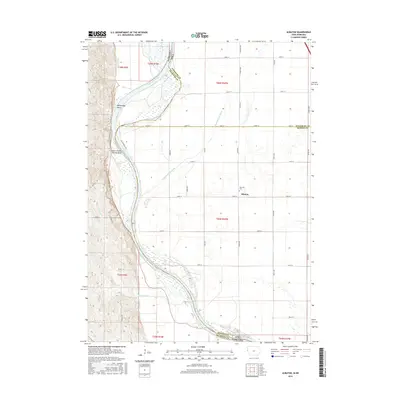
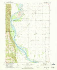 1969 Albaton1971 Print · USGSThe Missouri River valley along the Iowa-Nebraska border comes to life in this late sixties survey of Monona County. Researchers can trace the intricate Winnebago Indian Reservation Boundary and locate local landmarks like Albaton, Fairview Cem, and Sand Hill Lake.
 - 1977 Map of Albaton, 1979 Print
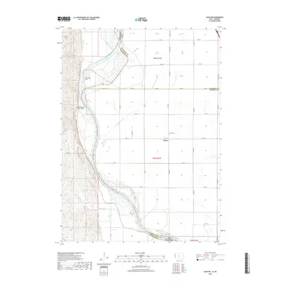
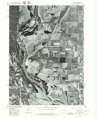 1977 Albaton1979 Print · USGSThe Missouri River floodplain near the Iowa and Nebraska border is captured here during the late 1970s. Local researchers and landowners can trace field patterns and the layout of the rural settlement at Albaton near the Missouri River.
 - 1986 Map of Sioux City South
 1986 Sioux City South1986 Print · USGSThe tri-state borderlands of Iowa, Nebraska, and South Dakota come into focus in the mid-1980s as a landscape of tribal lands and rail corridors. Researchers can trace the extensive boundaries of the Winnebago Indian Reservation and find local landmarks like Morningside College and Martin Field.2 unique versions available
 - 2012 Map of Albaton, 2012 Print
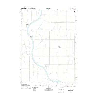 2012 Albaton2012 Print · USGSCovers Albaton, including Macy, Woodbury County, and other nearby areas
 - 2013 Map of Albaton, 2013 Print
 2013 Albaton2013 Print · USGSCovers Albaton, including Macy, Woodbury County, and other nearby areas
 - 2015 Map of Albaton, 2015 Print
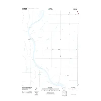
 2015 Albaton2015 Print · USGSCovers Albaton, including Macy, Woodbury County, and other nearby areas
 - 2018 Map of Albaton, 2018 Print
 2018 Albaton2018 Print · USGSCovers Albaton, including Macy, Woodbury County, and other nearby areas
 - 2022 Map of Albaton, 2022 Print
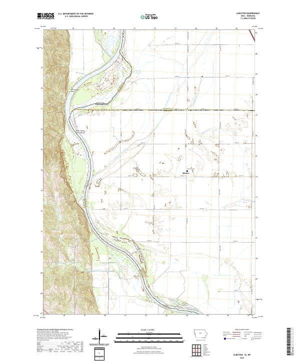 2022 Albaton2022 Print · USGSThe Missouri River bottomlands of Monona County are captured here in the early twenty-first century, showing a landscape defined by water management and river bends. Researchers can trace the rural community of Albaton, visit the Fairview Cem, or follow the winding Sand Hill Lake Ditch.
End of results
Showing maps 1-11 of 11
Top cities near Albaton
- Sioux City historical maps
- Sergeant Bluff historical maps
- Onawa historical maps
- Dakota City historical maps
- Sloan historical maps
- Walthill historical maps
See more
Frequently asked questions
- What are the different types of historical maps available for Albaton?
- What is the oldest map of Albaton?
- Where can I purchase historical maps of Albaton for my home or office?
- Where can I download high-res historical maps of Albaton?
- Are there historical topographic maps available for Albaton?
- Is there historical aerial imagery available for Albaton?
- Where are historical maps of Albaton sourced from?