Old Maps of Brompton, Iowa for Hiking & Exploration
Hike through history with 10 historic maps of Brompton. Explore old trails, ghost towns, and forgotten backroads — perfect for outdoor adventurers and local explorers.
- Rediscover forgotten places: Map out old mining camps, roads, and footpaths that no longer exist on modern maps.
- Layer with modern tools: Combine with LiDAR or satellite views to plan hikes through historical terrain.
- Made for exploration: Popular among hikers, overlanders, and local history lovers.
Use these maps to find adventure and explore the hidden past of Brompton.
Brompton, IA maps
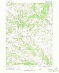
(10)- 1954 Map of Centerville, 1967 Print
 1954 Centerville1967 Print · USGSThe Iowa-Missouri borderlands at mid-century reveal a landscape shaped by river valleys and the height of the regional rail network. Genealogists and historians can trace the paths of the Wabash railroad and locate old townsites like Mystic, Moulton, and Greentop.3 unique versions available
 - 1957 Map of Centerville
 1957 Centerville1957 Print · USGSThe Iowa-Missouri borderlands in the mid-fifties reveal a landscape of river-valley agriculture and vital rail corridors. Genealogists and historians can trace family-named landmarks and small-town growth in Centerville, Kirksville, and along the Wabash railroad line.
 - 1958 Map of Centerville
 1958 Centerville1958 Print · USGSThe Iowa-Missouri borderlands come into focus during the mid-fifties, showing a landscape defined by river valleys and intersecting rail lines. Genealogists and local historians can trace family roots through dozens of rural hubs like Bloomfield, Unionville, and Corydon.
 - 1968 Map of Blakesburg, 1971 Print
 1968 Blakesburg1971 Print · USGSSouthern Iowa farm country and the town of Blakesburg appear here in the late sixties at a rare juncture of four counties. Genealogists can trace family names through rural landmarks like Eslinger Cem, Trussell Cem, and the Union Chapel school and church area.2 unique versions available
 - 1981 Map of Centerville, 1982 Print
 1981 Centerville1982 Print · USGSThe borderlands of southern Iowa and northern Missouri are captured here in the early eighties as Rathbun Lake and the Chariton River define the local geography. Researchers can trace historic rail lines like the Norfolk and Western and locate vanished hamlets such as Coal City and Glenwood Junction.
 - 2010 Map of Blakesburg, 2010 Print
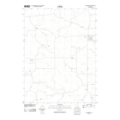 2010 Blakesburg2010 Print · USGSCovers Brompton, including Blakesburg, Wapello County, and other nearby areas
 - 2013 Map of Blakesburg, 2013 Print
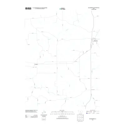 2013 Blakesburg2013 Print · USGSCovers Brompton, including Blakesburg, Wapello County, and other nearby areas
 - 2015 Map of Blakesburg, 2015 Print
 2015 Blakesburg2015 Print · USGSCovers Brompton, including Blakesburg, Wapello County, and other nearby areas
 - 2018 Map of Blakesburg, 2018 Print
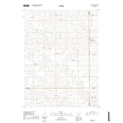 2018 Blakesburg2018 Print · USGSCovers Brompton, including Blakesburg, Wapello County, and other nearby areas
 - 2022 Map of Blakesburg, 2022 Print
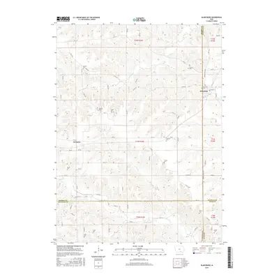
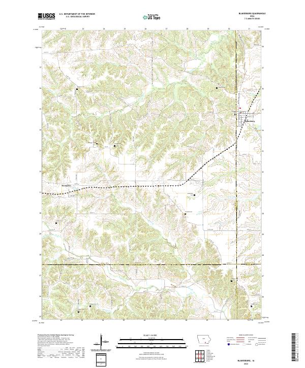 2022 Blakesburg2022 Print · USGSThe agricultural borderlands of Southern Iowa come alive in this survey of the region surrounding Blakesburg. Genealogists can locate numerous family burial grounds including Trussell Cem and Sales Cem tucked away near Buzzard Cr and Brompton.
End of results
Showing maps 1-10 of 10
Top cities near Brompton
- Centerville historical maps
- Albia historical maps
- Eddyville historical maps
- Moravia historical maps
- Lovilia historical maps
- Mystic historical maps
See more
Frequently asked questions
- What are the different types of historical maps available for Brompton?
- What is the oldest map of Brompton?
- Where can I purchase historical maps of Brompton for my home or office?
- Where can I download high-res historical maps of Brompton?
- Are there historical topographic maps available for Brompton?
- Is there historical aerial imagery available for Brompton?
- Where are historical maps of Brompton sourced from?