Old Maps of Melrose, Iowa for Hiking & Exploration
Hike through history with 12 historic maps of Melrose. Explore old trails, ghost towns, and forgotten backroads — perfect for outdoor adventurers and local explorers.
- Rediscover forgotten places: Map out old mining camps, roads, and footpaths that no longer exist on modern maps.
- Layer with modern tools: Combine with LiDAR or satellite views to plan hikes through historical terrain.
- Made for exploration: Popular among hikers, overlanders, and local history lovers.
Use these maps to find adventure and explore the hidden past of Melrose.
Melrose, IA maps
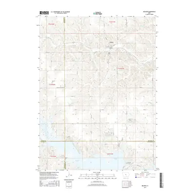
(12)- 1935 Map of Russell, 1958 Print
 1935 Russell1958 Print · USGSSouthern Iowa in the mid-thirties was a landscape of river-valley farms and rail-connected towns like Russell and Melrose. Researchers can trace old township school locations such as Brush College Sch and Rabbit Hill Sch or locate the New York Cem.2 unique versions available
 - 1938 Map of Russell
 1938 Russell1938 Print · USGSSouthern Iowa's rural school and rail network are preserved here during the mid-1930s. Genealogists can trace family footprints across dozens of local landmarks like Hilledgeville Cem, Rabbit Hill Sch, and the settlement of Confidence.2 unique versions available
 - 1954 Map of Centerville, 1967 Print
 1954 Centerville1967 Print · USGSThe Iowa-Missouri borderlands at mid-century reveal a landscape shaped by river valleys and the height of the regional rail network. Genealogists and historians can trace the paths of the Wabash railroad and locate old townsites like Mystic, Moulton, and Greentop.3 unique versions available
 - 1957 Map of Centerville
 1957 Centerville1957 Print · USGSThe Iowa-Missouri borderlands in the mid-fifties reveal a landscape of river-valley agriculture and vital rail corridors. Genealogists and historians can trace family-named landmarks and small-town growth in Centerville, Kirksville, and along the Wabash railroad line.
 - 1958 Map of Centerville
 1958 Centerville1958 Print · USGSThe Iowa-Missouri borderlands come into focus during the mid-fifties, showing a landscape defined by river valleys and intersecting rail lines. Genealogists and local historians can trace family roots through dozens of rural hubs like Bloomfield, Unionville, and Corydon.
 - 1981 Map of Leon, 1982 Print
 1981 Leon1982 Print · USGSSouthern Iowa and northern Missouri are captured here in the early eighties as the rural landscape balances traditional agriculture with large-scale water management. Researchers can trace the path of the Burlington Northern through Leon or locate early settlements like Decatur City and New Buda.
 - 1982 Map of Melrose, 1983 Print
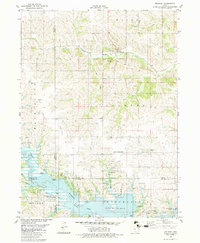 1982 Melrose1983 Print · USGSSouthern Iowa's landscape is captured here in the early eighties as the waters of Rathbun Lake shaped the region's recreation and conservation. Genealogists can locate family landmarks like Mt Calvary Cem and Evans Cem, while tracing the Burlington Northern rail line through Melrose.
 - 2010 Map of Melrose, 2010 Print
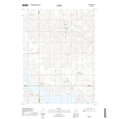
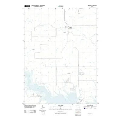 2010 Melrose2010 Print · USGSCovers Melrose, including Appanoose County, Monroe County, and other nearby areas
 - 2013 Map of Melrose, 2013 Print
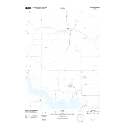 2013 Melrose2013 Print · USGSCovers Melrose, including Appanoose County, Monroe County, and other nearby areas
 - 2015 Map of Melrose, 2015 Print
 2015 Melrose2015 Print · USGSCovers Melrose, including Appanoose County, Monroe County, and other nearby areas
 - 2018 Map of Melrose, 2018 Print
 2018 Melrose2018 Print · USGSCovers Melrose, including Appanoose County, Monroe County, and other nearby areas
 - 2022 Map of Melrose, 2022 Print
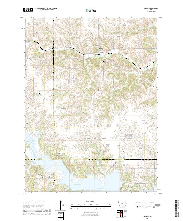 2022 Melrose2022 Print · USGSThe southern Iowa countryside near Melrose is captured here as it appeared in the early 2020s, dominated by the waters of Rathbun Lake. Genealogists and local historians can trace numerous family and community burial grounds, from Melrose Methodist Cem to the secluded Evans Cem near the Chariton River.
End of results
Showing maps 1-12 of 12
Top cities near Melrose
- Centerville historical maps
- Moravia historical maps
- Lovilia historical maps
- Russell historical maps
- Bussey historical maps
- Mystic historical maps
See more
Frequently asked questions
- What are the different types of historical maps available for Melrose?
- What is the oldest map of Melrose?
- Where can I purchase historical maps of Melrose for my home or office?
- Where can I download high-res historical maps of Melrose?
- Are there historical topographic maps available for Melrose?
- Is there historical aerial imagery available for Melrose?
- Where are historical maps of Melrose sourced from?