Old Maps of Conesville, Iowa
Explore 16 old maps of Conesville, spanning from 1958 to today. These high-resolution historic maps reveal how streets, neighborhoods, landmarks, and natural features evolved over time — perfect for genealogy, metal detecting, research, and local history exploration.
What you can do with these maps:
- See how Conesville changed over time: Compare historical maps to modern-day views to trace roads, homesites, rail lines & more.
- View detailed metadata: Each map includes creators, publishers, year, scale, and archive source.
- Overlay maps with satellite & LiDAR: Visualize the past alongside modern tools to explore terrain & human change.
- Trusted historical sources: Maps sourced from the USGS, Library of Congress, and other archives.
- Access maps your way: View online, download high-res files, or order prints for personal or research use.
Start exploring old maps of Conesville to uncover forgotten places, hidden landmarks, and the deep history beneath your feet.
Conesville, IA maps
(16)- 1958 Map of Davenport, 1968 Print
 1958 Davenport1968 Print · USGSEastern Iowa and western Illinois thrive along the river during the late fifties, defined by the industrial Quad Cities and a robust rail network. Genealogists can trace family roots through settlements like Oasis and Stanwood or along the Cedar River.2 unique versions available
 - 1961 Map of Davenport
 1961 Davenport1961 Print · USGSThe Quad Cities and the eastern Iowa riverlands are captured here in the early sixties, showing the region's transition into a modern industrial and transit hub. Genealogists and historians can trace the paths of major railroads and find river landmarks like Rock Island Arsenal, Huron Island, and the Coralville Reservoir.
 - 1962 Map of Davenport
 1962 Davenport1962 Print · USGSThe Quad Cities and the Mississippi River corridor are shown at their industrial peak just before the interstate era fully transformed the region. Researchers can trace the sprawling rail networks of the Chicago Rock Island and Pacific and find landmarks like the Rock Island Arsenal and Wild Cat Den State Park.
 - 1970 Map of Columbus Junction, 1972 Print
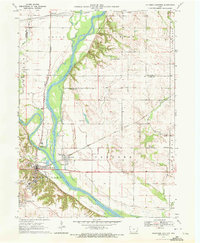 1970 Columbus Junction1972 Print · USGSLouisa and Muscatine Counties are captured here in the early 1970s at the strategic meeting of the rivers. Genealogists can trace rural roots through several local burial grounds like Newell Cem and Concord Cem or the community life at the Fairground.
 - 1970 Map of Nichols, 1972 Print
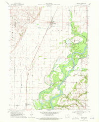 1970 Nichols1972 Print · USGSThe river and rail networks of Muscatine and Louisa counties are meticulously detailed in the early 1970s. Trace family history through numerous burial sites like Lone Tree Cem and Brockway Cem, or follow the legacy of the Chicago Rock Island and Pacific railroad through Nichols.2 unique versions available
 - 1984 Map of Muscatine, 1985 Print
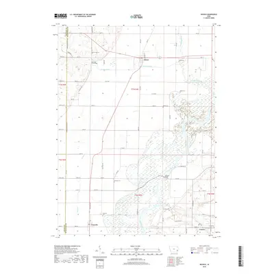
 1984 Muscatine1985 Print · USGSThe Mississippi River corridor and Iowa prairie meet in the 1980s, showcasing a landscape of river navigation and agricultural heartland. Genealogists and researchers can locate old schools and landmarks like Maharishi International University, Elm Grove Cem, and Lock & Dam No 16.2 unique versions available
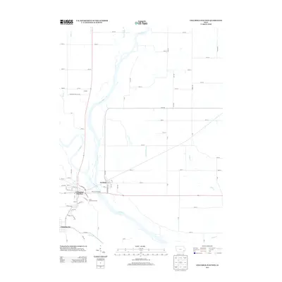
 - 2010 Map of Columbus Junction, 2010 Print
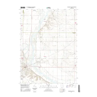
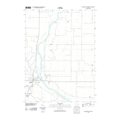 2010 Columbus Junction2010 Print · USGSCovers Conesville, including Columbus Junction, Columbus City, and other nearby areas
 - 2010 Map of Nichols, 2010 Print
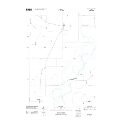
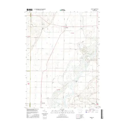
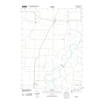 2010 Nichols2010 Print · USGSCovers Conesville, including Nichols, Cranston, and other nearby areas
 - 2013 Map of Columbus Junction, 2013 Print
 2013 Columbus Junction2013 Print · USGSCovers Conesville, including Columbus Junction, Columbus City, and other nearby areas
 - 2013 Map of Nichols, 2013 Print
 2013 Nichols2013 Print · USGSCovers Conesville, including Nichols, Cranston, and other nearby areas
 - 2015 Map of Columbus Junction, 2015 Print
 2015 Columbus Junction2015 Print · USGSCovers Conesville, including Columbus Junction, Columbus City, and other nearby areas
 - 2015 Map of Nichols, 2015 Print
 2015 Nichols2015 Print · USGSCovers Conesville, including Nichols, Cranston, and other nearby areas
 - 2018 Map of Nichols, 2018 Print
 2018 Nichols2018 Print · USGSCovers Conesville, including Nichols, Cranston, and other nearby areas
 - 2018 Map of Columbus Junction, 2018 Print
 2018 Columbus Junction2018 Print · USGSCovers Conesville, including Columbus Junction, Columbus City, and other nearby areas
 - 2022 Map of Columbus Junction, 2022 Print
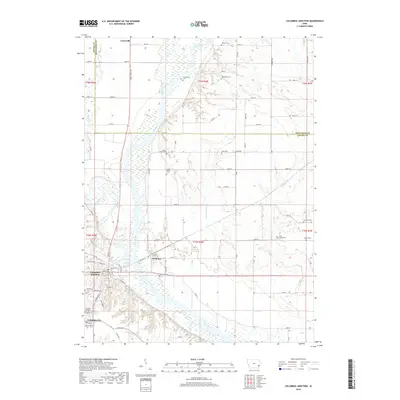
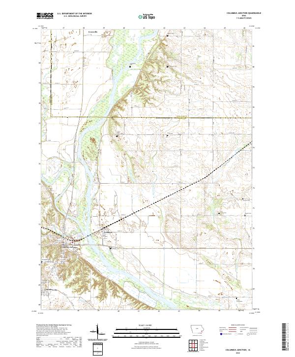 2022 Columbus Junction2022 Print · USGSLouisa and Muscatine Counties are documented here in the early twenty-first century as the Iowa River and Cedar River converge. Local historians can trace numerous rural burial grounds like Schmeltzer Cem, Tennessee Cem, and Indian Creek Cem across the river valley.
 - 2022 Map of Nichols, 2022 Print
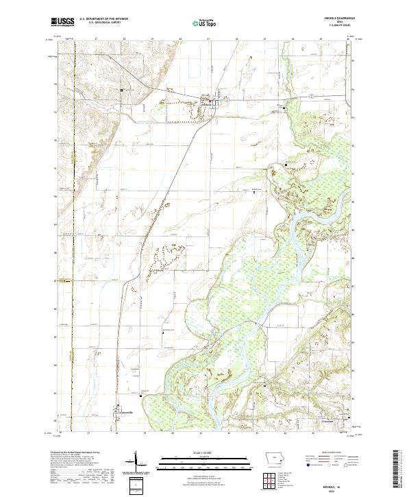 2022 Nichols2022 Print · USGSMuscatine County's river valleys and rural townships are captured in this recent survey of the Cedar River basin. Genealogists and local historians can trace family plots at Nichols Cemetery, Brockway Cemetery, and Oak Grove Cemetery.
End of results
Showing maps 1-16 of 16
Top cities near Conesville
- Iowa City historical maps
- Muscatine historical maps
- West Liberty historical maps
- Wapello historical maps
- Columbus Junction historical maps
- Lone Tree historical maps
See more
Frequently asked questions
- What are the different types of historical maps available for Conesville?
- What is the oldest map of Conesville?
- Where can I purchase historical maps of Conesville for my home or office?
- Where can I download high-res historical maps of Conesville?
- Are there historical topographic maps available for Conesville?
- Is there historical aerial imagery available for Conesville?
- Where are historical maps of Conesville sourced from?