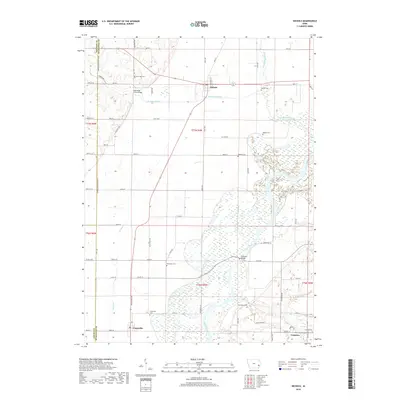
2018 Map of Nichols
USGS Topo · Published 2018About this map
The Cedar River meanders through this portion of Muscatine County, Iowa, creating a complex wetland environment characterized by seasonal watercourses like Hockeys Slough and Crane Creek. The town of Nichols sits at a crossroads of regional travel, while further south, the community of Conesville is situated near the river's broad floodplain. This landscape is marked by its rural agricultural heritage, where small settlements like Cranston and various family-named landmarks are connected by a grid of section roads.
Find a feature on this map
65 named features on this map. Tap any name to fly to it.
Don’t see what you’re looking for? This feature index may not catch every label — zoom into the map to look around manually.
Map Details
Editions of this 2018 Nichols Map
This is the sole edition of this map. No revisions or reprints were ever made.
Other maps of this area

1891 · Wilton Junction
USGS Topo · 1:62,500

1894 · West Liberty
USGS Topo · 1:62,500

1901 · Stanwood
USGS Topo · 1:125,000

1948 · Muscatine
USGS Topo · 1:62,500

1958 · Davenport
USGS Topo · 1:250,000

1961 · Davenport
USGS Topo · 1:250,000

1962 · Davenport
USGS Topo · 1:250,000
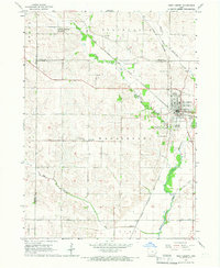
1965 · West Liberty
USGS Topo · 1:24,000

1965 · Letts
USGS Topo · 1:24,000
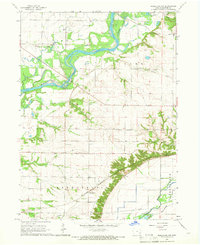
1965 · Muscatine NW
USGS Topo · 1:24,000