Old Maps of Primghar, Iowa for Academic Research
Study the evolution of Primghar with 15 high-resolution historic maps. Whether you're teaching, researching, or modeling changes in land use, these maps provide essential visual documentation of urban, environmental, and geographic change.
- Analyze long-term change: Track patterns in development, transportation, and natural features.
- Ideal for environmental or urban studies: Support academic projects with primary historical map data.
- Use in the classroom or lab: Educators and researchers rely on these maps to bring historical context to life.
These maps are a powerful tool for teaching, research, and visualizing how Primghar has changed over the decades.
Primghar, IA maps
(15)- 1954 Map of Fairmont, 1967 Print
 1954 Fairmont1967 Print · USGSThe prairie landscape of southern Minnesota and northern Iowa comes alive in this mid-century survey of the Coteau des Prairies. Genealogists and historians can trace the rail-connected growth of Fairmont and Blue Earth or locate family roots near St Kilian Ch and Union Slough National Wildlife Refuge.3 unique versions available
 - 1958 Map of Fairmont
 1958 Fairmont1958 Print · USGSThe borderlands of southern Minnesota and northern Iowa come alive in the mid-1950s, showing a landscape defined by glacial lakes and rail-line commerce. Researchers can trace historic landmarks like Lakeside Laboratory, Gridley Station, and the Bancroft Wildlife Refuge across the prairie.
 - 1964 Map of Primghar, 1966 Print
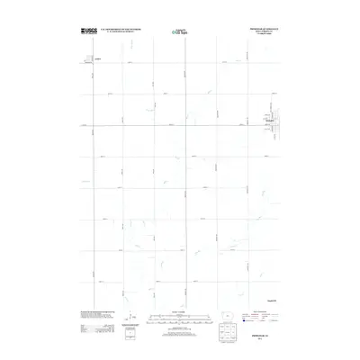
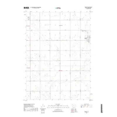
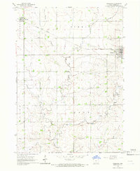 1964 Primghar1966 Print · USGSPrimghar and the surrounding O'Brien County prairie are captured in the mid-1960s as a well-ordered landscape of agriculture and rail transport. Genealogists and local historians can locate early burial sites at Pleasant Hill Cem or trace the Illinois Central line through Archer.
 - 1964 Map of Gaza, 1966 Print
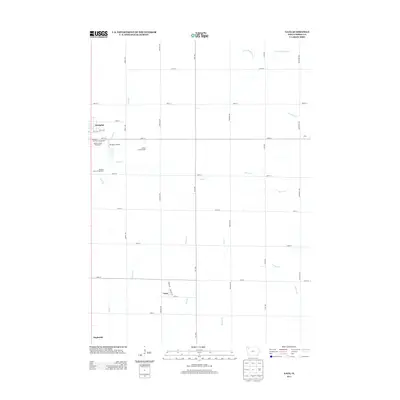
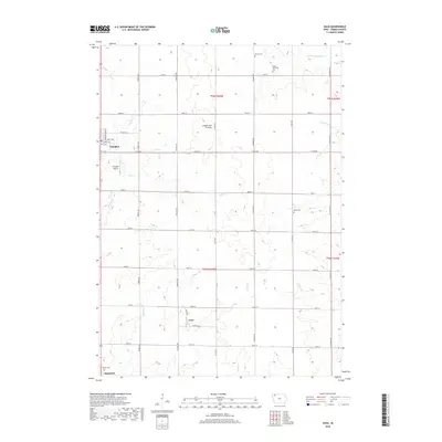
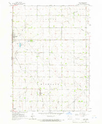 1964 Gaza1966 Print · USGSNorthwest Iowa's farm country comes into focus in the mid-1960s as small railroad towns like Gaza and Primghar thrive. Genealogists and historians can trace the Illinois Central tracks, family-named waterways, and local sites like the Lutheran Cem and Doyle Cem.
 - 1985 Map of Iowa Great Lakes
 1985 Iowa Great Lakes1985 Print · USGSNorthwest Iowa’s glacial lakes and prairie towns are captured here in the mid-1980s, showing a landscape balanced between agriculture and lakeside recreation. Genealogists and historians can locate family sites near Holman Cem or trace the early rail corridors of the Chicago and North Western and the Chicago Milwaukee St Paul and Pacific.2 unique versions available
 - 2010 Map of Primghar, 2010 Print
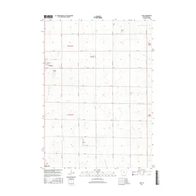
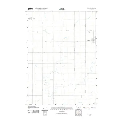 2010 Primghar2010 Print · USGSCovers Primghar, including Archer, O'Brien County, and other nearby areas
 - 2010 Map of Gaza, 2010 Print
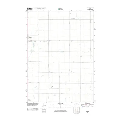 2010 Gaza2010 Print · USGSCovers Primghar, including Mapleside, Gaza, and other nearby areas
 - 2013 Map of Primghar, 2013 Print
 2013 Primghar2013 Print · USGSCovers Primghar, including Archer, O'Brien County, and other nearby areas
 - 2013 Map of Gaza, 2013 Print
 2013 Gaza2013 Print · USGSCovers Primghar, including Mapleside, Gaza, and other nearby areas
 - 2015 Map of Gaza, 2015 Print
 2015 Gaza2015 Print · USGSCovers Primghar, including Mapleside, Gaza, and other nearby areas
 - 2015 Map of Primghar, 2015 Print
 2015 Primghar2015 Print · USGSCovers Primghar, including Archer, O'Brien County, and other nearby areas
 - 2018 Map of Primghar, 2018 Print
 2018 Primghar2018 Print · USGSCovers Primghar, including Archer, O'Brien County, and other nearby areas
 - 2018 Map of Gaza, 2018 Print
 2018 Gaza2018 Print · USGSCovers Primghar, including Mapleside, Gaza, and other nearby areas
 - 2022 Map of Gaza, 2022 Print
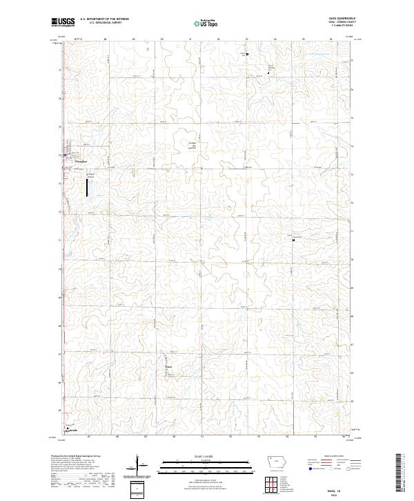 2022 Gaza2022 Print · USGSO'Brien County is captured in this contemporary survey of its agricultural heartland and rural cemeteries. Genealogists and local researchers can trace the placement of Gaza, Primghar, and family burial sites like Steuck Cem and Doyle Cem.
 - 2022 Map of Primghar, 2022 Print
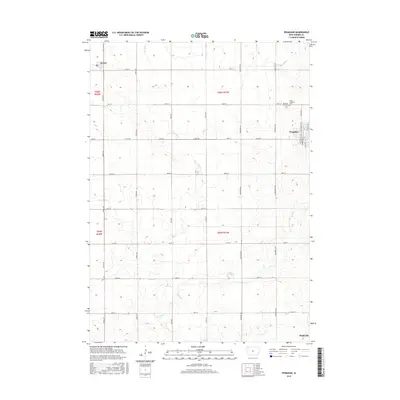
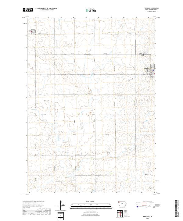 2022 Primghar2022 Print · USGSPrimghar and the surrounding O'Brien County farmland are detailed here during the early 2020s. Researchers can locate family roots at Pleasant Hill Cemetery or trace the early settlement layout near the O'Brien County Courthouse.
End of results
Showing maps 1-15 of 15
Top cities near Primghar
- Sheldon historical maps
- Hartley historical maps
- Sanborn historical maps
- Paullina historical maps
- Sutherland historical maps
- Ashton historical maps
See more
Frequently asked questions
- What are the different types of historical maps available for Primghar?
- What is the oldest map of Primghar?
- Where can I purchase historical maps of Primghar for my home or office?
- Where can I download high-res historical maps of Primghar?
- Are there historical topographic maps available for Primghar?
- Is there historical aerial imagery available for Primghar?
- Where are historical maps of Primghar sourced from?