2010s Maps of Pocahontas County, Iowa
Explore 80 historic maps of Pocahontas County from the 2010s. These maps offer a rare glimpse into what life looked like during the 2010s — showing old roads, neighborhoods, homes, and landmarks that have changed or disappeared over time.
Whether you're researching your family's past, planning a metal detecting trip, or studying how Pocahontas County's landscape evolved across the 2010s, these high-resolution maps are a powerful tool for exploring the history of this region.
- Focus on a specific era: All maps on this page are from the 2010s, giving you a focused view of this time period.
- See what’s changed: Compare century-old streets, trails, and buildings to today's modern landscape using overlays and satellite layers.
- Research with precision: Use these maps for genealogy, historical research, land use analysis, or educational projects.
- View, download, or print: Maps are fully viewable online in high resolution, and can be downloaded or printed for your own records.
Start exploring Pocahontas County's history through authentic maps from the 2010s. This is your window into the past.
Pocahontas County, IA maps
(80)- 2010 Map of Varina, 2010 Print
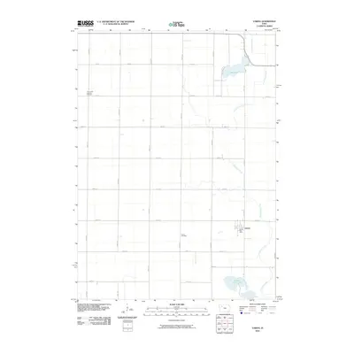 2010 Varina2010 Print · USGSThe Pocahontas County prairie around the turn of the millennium remains a landscape of disciplined family farms and small-town roots. Genealogists and local historians can locate the Varina Post Office and trace family plots at Varina Cemetery or Saint Johns Lutheran Cemetery.
 - 2010 Map of Gilmore City SW, 2010 Print
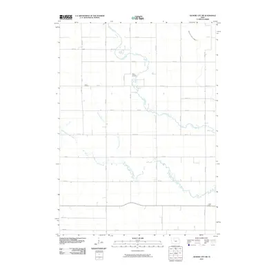 2010 Gilmore City SW2010 Print · USGSJackson Township at the beginning of the twenty-first century remains a landscape of managed waterways and ancestral landmarks. Genealogists can trace family connections at Lizard Cemetery, Saint Patricks Cemetery, and the community of Lizard along the creek.
 - 2010 Map of Rush Lake East, 2010 Print
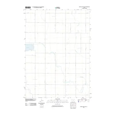 2010 Rush Lake East2010 Print · USGSPalo Alto County farmland is captured here in the early 2000s, showing a landscape defined by a rigid section grid and winding prairie creeks. Researchers can trace the course of the North Branch Lizard Creek or locate rural homesteads near Rush Lake and Pilot Creek.
 - 2010 Map of West Bend, 2010 Print
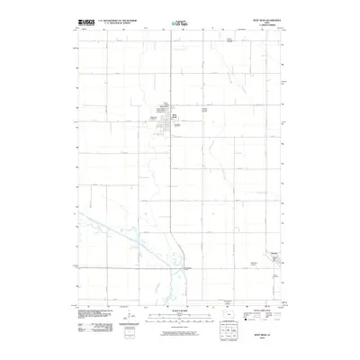 2010 West Bend2010 Print · USGSWest Bend and the surrounding prairie lands are captured here in the early twenty-first century as the agricultural heart of Palo Alto and Humboldt counties. Genealogists can locate family sites near Garfield Township Cemetery, Ottosen, or the world-renowned Grotto of the Redemption.
 - 2010 Map of Mallard, 2010 Print
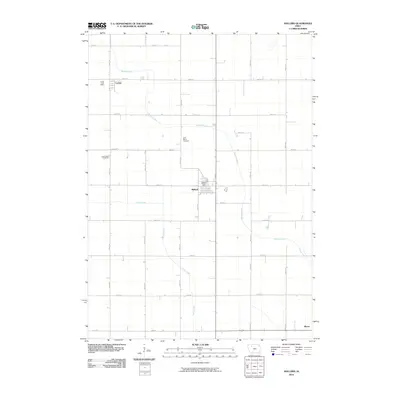 2010 Mallard2010 Print · USGSPalo Alto County farmland is captured here in the early 2000s, showing the enduring structure of the Iowa agricultural grid. Genealogists can trace local roots at Saint Marys Cemetery and Rush Lake Cemetery or locate the Mallard Post Office and Curlew Post Office.
 - 2010 Map of Havelock, 2010 Print
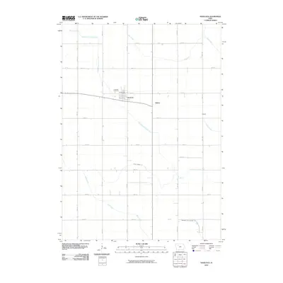 2010 Havelock2010 Print · USGSPocahontas County at the start of the 2010s reveals a highly organized agricultural landscape centered on the town of Havelock. Genealogists and local historians can trace the rural infrastructure through landmarks like the Havelock Cemetery and small locales like Ridotto and Rubens.
 - 2010 Map of Palmer, 2010 Print
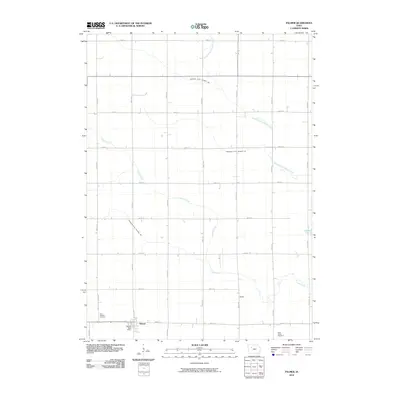 2010 Palmer2010 Print · USGSThis Iowa prairie landscape in the early 2000s reveals a community built on agricultural engineering and small-town roots. Genealogists can locate family sites near Saint Josephs Cemetery or Buda, while tracing the paths of Lizard Creek and Lizard Lake.
 - 2010 Map of Rush Lake West, 2010 Print
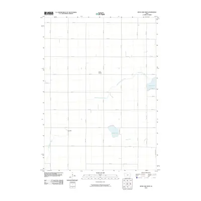 2010 Rush Lake West2010 Print · USGSThis rural portion of Buena Vista County in the early twenty-first century reveals a landscape dominated by agriculture and natural waterways. Researchers can trace local history through the Garfield Township Cemetery, the settlement of Leverett, and the shores of Pickerel Lake.
 - 2010 Map of Fonda, 2010 Print
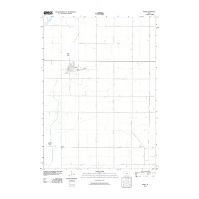 2010 Fonda2010 Print · USGSFonda and the surrounding Iowa farmland are documented here in the early 21st century, showing the enduring grid of Pocahontas County. Genealogists can locate family sites near Cedar Cemetery and Zion Cemetery or trace the path of Cedar Creek.
 - 2010 Map of Fonda NE, 2010 Print
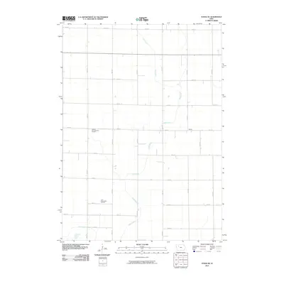 2010 Fonda NE2010 Print · USGSPocahontas County at the start of the 2010s reveals a landscape of enduring rural character and deep-rooted community history. Family researchers can locate significant burial grounds such as Elfsborg - Dover Township Cemetery and the settlement of Shirley.
 - 2010 Map of Newell East, 2010 Print
 2010 Newell East2010 Print · USGSSettlement around Newell is defined by a vast agricultural grid in the early twenty-first century. Researchers can trace ancestral lands near Cooke Cemetery, First M E Church Cemetery, and the winding banks of Prairie Creek.
 - 2010 Map of Laurens, 2010 Print
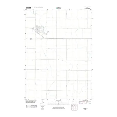 2010 Laurens2010 Print · USGSLaurens and the surrounding prairie are captured at the end of the first decade of the 2000s, reflecting a landscape of deeply rooted agriculture. Researchers can locate local burial sites like Sacred Heart Cemetery or trace the small settlement of Ware near Lizard Creek.
 - 2010 Map of Rolfe, 2010 Print
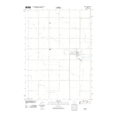 2010 Rolfe2010 Print · USGSThe Pocahontas County town of Rolfe is shown here in the early twenty-first century, surrounded by a productive landscape of creeks and prairie roads. Researchers can locate Powhatan Cemetery, the rail-side Rubens Siding, and several family-named cemeteries.
 - 2010 Map of Manson, 2010 Print
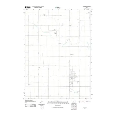 2010 Manson2010 Print · USGSCalhoun County's agricultural heartland is documented here in the early twenty-first century, centered on the community of Manson. Researchers can trace local lineage through several sites including Rose Hill Cemetery, the Swedish Cemetery, and the Wiegert Prairie Farmstead.
 - 2010 Map of Pocahontas, 2010 Print
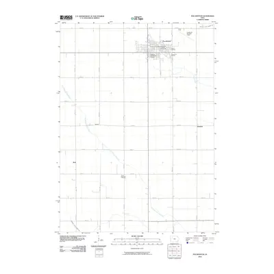 2010 Pocahontas2010 Print · USGSPocahontas and its surrounding farmsteads are documented here in the early twenty-first century, showing the intersection of rural life and civic infrastructure. Local historians can trace the town's development through the Sisters of Saint Francis Convent, Calvary Cemetery, and the nearby Pocahontas Municipal Airport.
 - 2010 Map of Pomeroy, 2010 Print
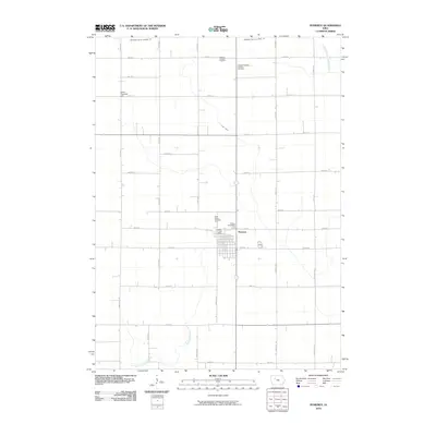 2010 Pomeroy2010 Print · USGSCalhoun County agricultural life is captured here in the early twenty-first century, centered on the grid-patterned streets of Pomeroy. Local researchers can trace family plots at Elfsborg Lutheran Cemetery or locate civic touchstones like the Colfax Township Hall and Pomeroy Post Office.
 - 2010 Map of Plover, 2010 Print
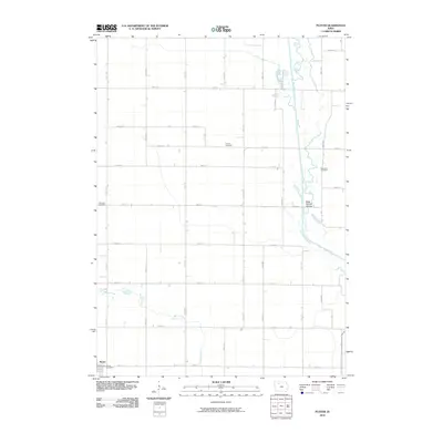 2010 Plover2010 Print · USGSThe rural landscape of Pocahontas County is captured here in the early twenty-first century, centered on the settlement of Plover. Researchers can trace the area's history through local landmarks like Lincoln Cemetery or follow the Des Moines River to the River Runner Access.
 - 2010 Map of Gilmore City, 2010 Print
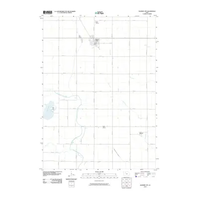 2010 Gilmore City2010 Print · USGSGilmore City and the surrounding prairie lands are captured here in the early twenty-first century. Researchers can locate the Gilmore City Post Office, trace the settlement at Pioneer, and find family history at Saint Johns Cemetery.
 - 2010 Map of Bradgate, 2010 Print
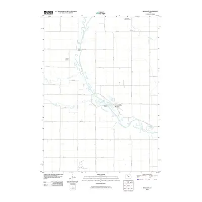 2010 Bradgate2010 Print · USGSThis Humboldt County landscape during the early 2000s shows the winding Des Moines River and its rural Iowa crossings. Local history researchers can locate family burial sites at the Old Rolfe Cemetery or McKnight Cemetery and trace the town of Bradgate.
 - 2010 Map of Albert City, 2010 Print
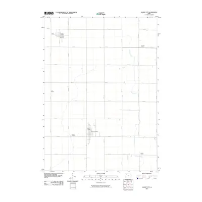 2010 Albert City2010 Print · USGSMarathon and Albert City appear at the height of their rural development in the early twenty-first century. Genealogists can locate family sites near Poland and Fairfield Cemetery or trace the path of Little Cedar Creek through the fields.
 - 2013 Map of Pomeroy, 2013 Print
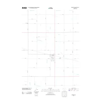 2013 Pomeroy2013 Print · USGSCalhoun County's agricultural heartland is documented here in the early twenty-first century, centered on the grid of Pomeroy. Researchers can trace the sophisticated rural drainage systems of Drainage Ditch Number 66 and locate the Colfax Township Hall.
 - 2013 Map of Fonda NE, 2013 Print
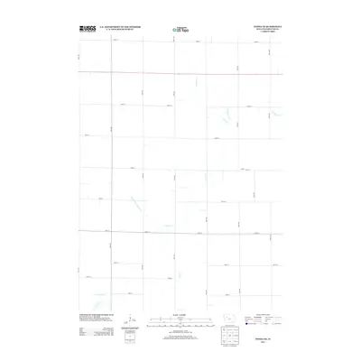 2013 Fonda NE2013 Print · USGSPocahontas County is shown at the peak of modern agricultural development in the early twenty-first century. Genealogists and local historians can locate the community of Shirley and trace the paths of Cedar Cr and Drainage Ditch Number 74 across the prairie.
 - 2013 Map of Plover, 2013 Print
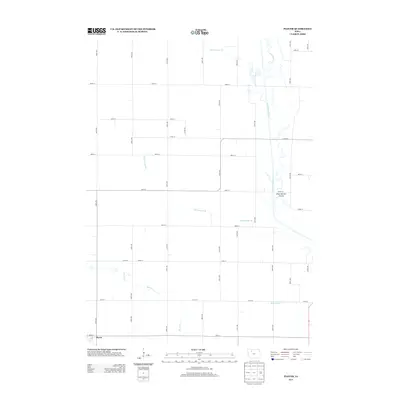 2013 Plover2013 Print · USGSThe Pocahontas County town of Plover and its surrounding agricultural grid are shown here in the early twenty-first century. Researchers can trace the winding course of the Des Moines River and identify local drainage patterns through Beaver Cr and Ditch Number 48.
 - 2013 Map of Fonda, 2013 Print
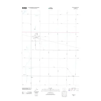 2013 Fonda2013 Print · USGSThe community of Fonda and the surrounding Pocahontas County farmland are shown here in the early 2010s. Researchers can locate specific town landmarks like Williams Township Hall and Knoke, or trace the paths of Cedar Cr and local section roads.
 - 2013 Map of Manson, 2013 Print
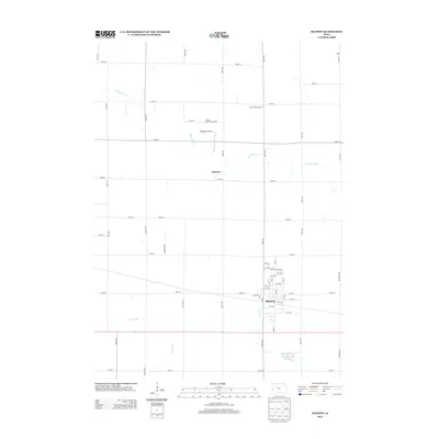 2013 Manson2013 Print · USGSCalhoun County's agricultural and township layout is preserved here from the early 2010s, centered on the community of Manson. Researchers can trace the proximity of local landmarks like the Lizard Township Hall and the historic Wiegert Prairie Farmstead.
Showing maps 1-25 of 80
Top cities of Pocahontas County
- Pocahontas historical maps
- Laurens historical maps
- Fonda historical maps
- Rolfe historical maps
- Palmer historical maps
- Havelock historical maps
See more
Frequently asked questions
- What are the different types of historical maps available for Pocahontas County?
- What is the oldest map of Pocahontas County?
- Where can I purchase historical maps of Pocahontas County for my home or office?
- Where can I download high-res historical maps of Pocahontas County?
- Are there historical topographic maps available for Pocahontas County?
- Is there historical aerial imagery available for Pocahontas County?
- Where are historical maps of Pocahontas County sourced from?