Old Maps of Des Moines, Iowa
Explore 19 old maps of Des Moines, spanning from 1905 to today. These high-resolution historic maps reveal how streets, neighborhoods, landmarks, and natural features evolved over time — perfect for genealogy, metal detecting, research, and local history exploration.
What you can do with these maps:
- See how Des Moines changed over time: Compare historical maps to modern-day views to trace roads, homesites, rail lines & more.
- View detailed metadata: Each map includes creators, publishers, year, scale, and archive source.
- Overlay maps with satellite & LiDAR: Visualize the past alongside modern tools to explore terrain & human change.
- Trusted historical sources: Maps sourced from the USGS, Library of Congress, and other archives.
- Access maps your way: View online, download high-res files, or order prints for personal or research use.
Start exploring old maps of Des Moines to uncover forgotten places, hidden landmarks, and the deep history beneath your feet.
Des Moines, IA maps
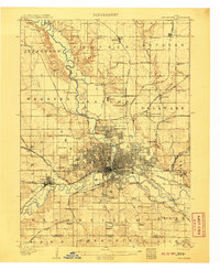
(19)- 1905 Map of Des Moines, 1954 Print
 1905 Des Moines1954 Print · USGSCovers Des Moines, including West Des Moines, Ankeny, and other nearby areas
 - 1907 Map of Des Moines
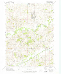
 1907 Des Moines1907 Print · USGSCovers Des Moines, including West Des Moines, Ankeny, and other nearby areas3 unique versions available
 - 1930 Map of Mitchellville
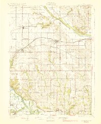 1930 Mitchellville1930 Print · USGSCovers Des Moines, including Altoona, Pleasant Hill, and other nearby areas3 unique versions available
 - 1931 Map of Indianola
 1931 Indianola1931 Print · USGSCovers Des Moines, including West Des Moines, Indianola, and other nearby areas4 unique versions available
 - 1954 Map of Des Moines, 1973 Print
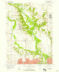
 1954 Des Moines1973 Print · USGSCovers Des Moines, including West Des Moines, Ankeny, and other nearby areas2 unique versions available
 - 1956 Map of Des Moines
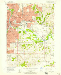
 1956 Des Moines1956 Print · USGSCovers Des Moines, including West Des Moines, Ankeny, and other nearby areas
 - 1956 Map of Des Moines NW, 1958 Print
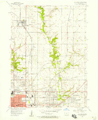
 1956 Des Moines NW1958 Print · USGSCovers Des Moines, including Ankeny, Urbandale, and other nearby areas5 unique versions available
 - 1956 Map of Des Moines SW, 1958 Print
 1956 Des Moines SW1958 Print · USGSCovers Des Moines, including West Des Moines, Urbandale, and other nearby areas4 unique versions available
 - 1956 Map of Des Moines SE, 1958 Print
 1956 Des Moines SE1958 Print · USGSCovers Des Moines, including Pleasant Hill, Carlisle, and other nearby areas4 unique versions available
 - 1956 Map of Des Moines NE, 1958 Print
 1956 Des Moines NE1958 Print · USGSCovers Des Moines, including Ankeny, Altoona, and other nearby areas4 unique versions available
 - 1956 Map of Des Moines, 1959 Print
 1956 Des Moines1959 Print · USGSCovers Des Moines, including West Des Moines, Ankeny, and other nearby areas
 - 1957 Map of Des Moines
 1957 Des Moines1957 Print · USGSCovers Des Moines, including West Des Moines, Ankeny, and other nearby areas
 - 1969 Map of Des Moines
 1969 Des Moines1969 Print · USGSCovers Des Moines, including West Des Moines, Ankeny, and other nearby areas
 - 1972 Map of Altoona, 1974 Print
 1972 Altoona1974 Print · USGSCovers Des Moines, including Altoona, Bondurant, and other nearby areas2 unique versions available
 - 1972 Map of Scotch Ridge, 1974 Print
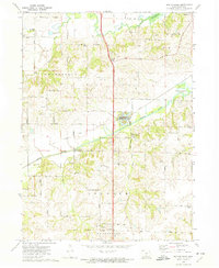 1972 Scotch Ridge1974 Print · USGSCovers Des Moines, including Indianola, Carlisle, and other nearby areas
 - 1972 Map of Rising Sun, 1974 Print
 1972 Rising Sun1974 Print · USGSCovers Des Moines, including Altoona, Pleasant Hill, and other nearby areas
 - 1972 Map of Norwalk, 1975 Print
 1972 Norwalk1975 Print · USGSCovers Des Moines, including West Des Moines, Norwalk, and other nearby areas
 - 1984 Map of Indianola
 1984 Indianola1984 Print · USGSCovers Des Moines, including West Des Moines, Indianola, and other nearby areas
 - 1984 Map of Des Moines, 1985 Print
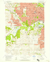
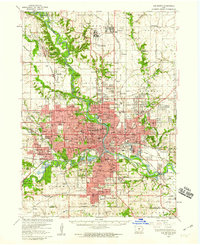
 1984 Des Moines1985 Print · USGSCovers Des Moines, including West Des Moines, Ankeny, and other nearby areas2 unique versions available
End of results
Showing maps 1-19 of 19
Top cities near Des Moines
- West Des Moines historical maps
- Ankeny historical maps
- Urbandale historical maps
- Johnston historical maps
- Waukee historical maps
- Altoona historical maps
See more
Top neighborhoods of Des Moines
- Bowsher historical maps
- Marquisville historical maps
- Wivfat Plaza historical maps
- Avon historical maps
- Chesterfield historical maps
- Brook Run historical maps
See more
Frequently asked questions
- What are the different types of historical maps available for Des Moines?
- What is the oldest map of Des Moines?
- Where can I purchase historical maps of Des Moines for my home or office?
- Where can I download high-res historical maps of Des Moines?
- Are there historical topographic maps available for Des Moines?
- Is there historical aerial imagery available for Des Moines?
- Where are historical maps of Des Moines sourced from?