
1956 Map of Des Moines NW
USGS Topo · Published 1958About this map
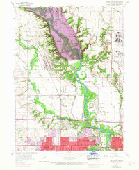
The Des Moines River winds through a landscape of military activity and suburban expansion in this mid-1950s survey of Polk County. The massive Camp Dodge Military Reservation dominates the northern reaches, flanking the river valley where Big Madison Creek and Beaver Creek converge. To the south, the early post-war development of Urbandale and Johnston is visible, including the burgeoning infrastructure of Dodge Airport and several local landmarks like Town Hall.
Find a feature on this map
45 named features on this map. Tap any name to fly to it.
Don’t see what you’re looking for? This feature index may not catch every label — zoom into the map to look around manually.
Map Details
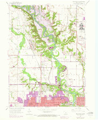
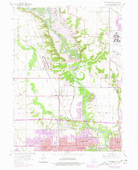
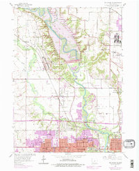
Editions of this 1956 Des Moines NW Map
5 editions found
Other maps of this area

1905 · Des Moines
USGS Topo · 1:62,500

1907 · Des Moines
USGS Topo · 1:62,500

1908 · Waukee
USGS Topo · 1:62,500

1911 · Madrid
USGS Topo · 1:62,500

1911 · Slater
USGS Topo · 1:62,500

1913 · Slater
USGS Topo · 1:62,500

1914 · Madrid
USGS Topo · 1:62,500

1954 · Des Moines
USGS Topo · 1:250,000

1956 · Des Moines
USGS Topo · 1:250,000

1956 · Des Moines SW
USGS Topo · 1:24,000