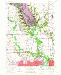
1956 Map of Des Moines NW
USGS Topo · Published 1968About this map
The Des Moines River corridor undergoes a massive transformation on this sheet, dominated by the Saylorville Dam (Under Construction). Purple hatching marks the extensive river bottomlands slated for submersion, revealing the footprint of the landscape before the reservoir's creation. The map captures the interaction between established military and agricultural land use, featuring the Camp Dodge Military Reservation and the Iowa State University Experimental Farm.
Find a feature on this map
51 named features on this map. Tap any name to fly to it.
Don’t see what you’re looking for? This feature index may not catch every label — zoom into the map to look around manually.
Map Details
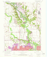
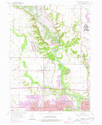
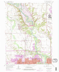
Editions of this 1956 Des Moines NW Map
5 editions found
Other maps of this area

1905 · Des Moines
USGS Topo · 1:62,500

1907 · Des Moines
USGS Topo · 1:62,500

1908 · Waukee
USGS Topo · 1:62,500

1911 · Madrid
USGS Topo · 1:62,500

1911 · Slater
USGS Topo · 1:62,500

1913 · Slater
USGS Topo · 1:62,500

1914 · Madrid
USGS Topo · 1:62,500

1954 · Des Moines
USGS Topo · 1:250,000

1956 · Des Moines
USGS Topo · 1:250,000

1956 · Des Moines NW
USGS Topo · 1:24,000