2000s (21st Century) Maps of Ralston, Iowa
Explore 10 historic maps of Ralston from the 2000s (21st Century). These maps offer a rare glimpse into what life looked like during the 2000s — showing old roads, neighborhoods, homes, and landmarks that have changed or disappeared over time.
Whether you're researching your family's past, planning a metal detecting trip, or studying how Ralston's landscape evolved across the 2000s, these high-resolution maps are a powerful tool for exploring the history of this region.
- Focus on a specific era: All maps on this page are from the 2000s, giving you a focused view of this time period.
- See what’s changed: Compare century-old streets, trails, and buildings to today's modern landscape using overlays and satellite layers.
- Research with precision: Use these maps for genealogy, historical research, land use analysis, or educational projects.
- View, download, or print: Maps are fully viewable online in high resolution, and can be downloaded or printed for your own records.
Start exploring Ralston's history through authentic maps from the 2000s. This is your window into the past.
Ralston, IA maps
(10)- 2010 Map of Scranton, 2010 Print
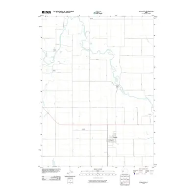 2010 Scranton2010 Print · USGSCovers Ralston, including Scranton, Highland Township, and other nearby areas
 - 2010 Map of Glidden, 2010 Print
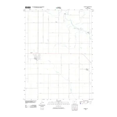 2010 Glidden2010 Print · USGSCovers Ralston, including Glidden, Kendrick Township, and other nearby areas
 - 2013 Map of Glidden, 2013 Print
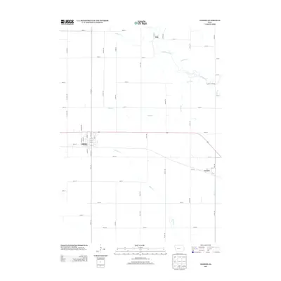 2013 Glidden2013 Print · USGSCovers Ralston, including Glidden, Kendrick Township, and other nearby areas
 - 2013 Map of Scranton, 2013 Print
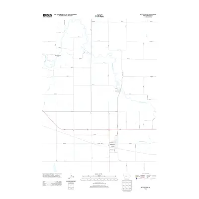 2013 Scranton2013 Print · USGSCovers Ralston, including Scranton, Highland Township, and other nearby areas
 - 2015 Map of Scranton, 2015 Print
 2015 Scranton2015 Print · USGSCovers Ralston, including Scranton, Highland Township, and other nearby areas
 - 2015 Map of Glidden, 2015 Print
 2015 Glidden2015 Print · USGSCovers Ralston, including Glidden, Kendrick Township, and other nearby areas
 - 2018 Map of Scranton, 2018 Print
 2018 Scranton2018 Print · USGSCovers Ralston, including Scranton, Highland Township, and other nearby areas
 - 2018 Map of Glidden, 2018 Print
 2018 Glidden2018 Print · USGSCovers Ralston, including Glidden, Kendrick Township, and other nearby areas
 - 2022 Map of Glidden, 2022 Print
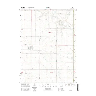
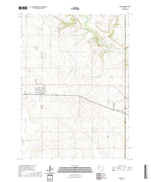 2022 Glidden2022 Print · USGSThe West Central Iowa prairie around Glidden is shown here in its modern agricultural and municipal state. Researchers can trace property boundaries along the Carroll Co Greene Co line and follow the paths of Willow Cr and the North Raccoon River.
 - 2022 Map of Scranton, 2022 Print
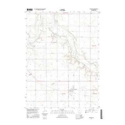
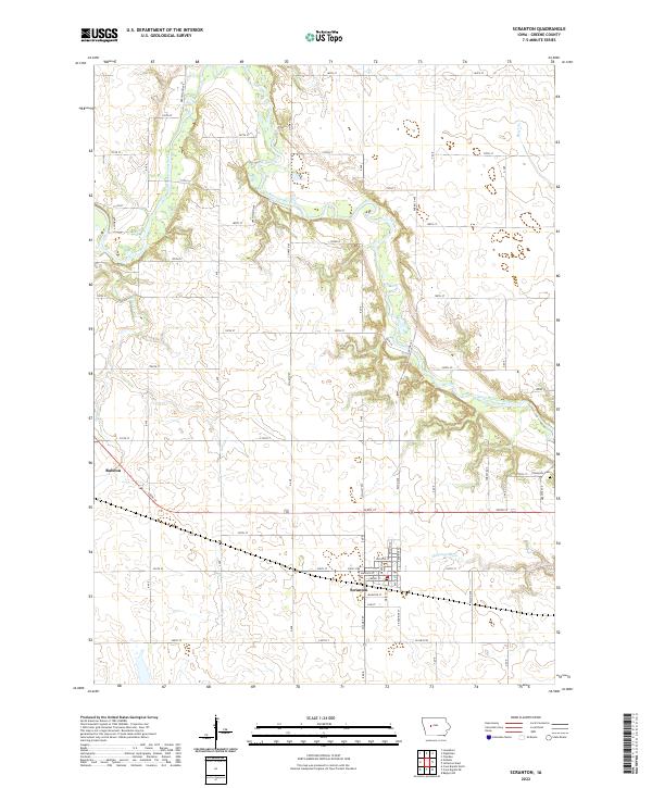 2022 Scranton2022 Print · USGSGreene County agriculture and river-valley life are captured in this modern survey of the central Iowa prairie. Researchers can trace the winding North Raccoon River or locate local landmarks like Thompson Cem and the settlements of Scranton and Ralston.
End of results
Showing maps 1-10 of 10
Top cities near Ralston
- Carroll historical maps
- Jefferson historical maps
- Lake City historical maps
- Coon Rapids historical maps
- Glidden historical maps
- Scranton historical maps
See more
Frequently asked questions
- What are the different types of historical maps available for Ralston?
- What is the oldest map of Ralston?
- Where can I purchase historical maps of Ralston for my home or office?
- Where can I download high-res historical maps of Ralston?
- Are there historical topographic maps available for Ralston?
- Is there historical aerial imagery available for Ralston?
- Where are historical maps of Ralston sourced from?