Old Maps of Watterson, Iowa for Genealogy
Trace your family roots with 12 historic maps of Watterson. These high-res maps reveal old neighborhoods, homesites, landmarks, and streets — helping you uncover where your ancestors lived and how the area evolved over time.
- Explore historic neighborhoods: Identify where your relatives may have lived in the 1800s or 1900s.
- Compare maps over time: Trace the changes in streets, buildings, and landmarks for multi-generational research.
- Perfect for genealogy & ancestry research: Used by family historians and researchers to map out lineage and migration.
These maps are an incredible resource for exploring your personal connection to Watterson's past.
Watterson, IA maps
(12)- 1945 Map of Mount Ayr, 1954 Print
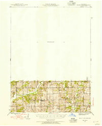 1945 Mount Ayr1954 Print · USGSThe Iowa-Missouri borderlands come into focus at the end of the war, showing a landscape of small townships and family farms. Genealogists can trace local roots through landmarks like Petry Cem, Friendship Ch, and the many rural schools including Lone Rock Sch.2 unique versions available
 - 1947 Map of Mount Ayr
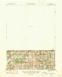 1947 Mount Ayr1947 Print · USGSThe Missouri-Iowa border comes into focus in the mid-1940s, capturing the rural townships of Lincoln and Hamilton at a peak of local community density. Researchers can trace the exact locations of family homesteads near Hatfield or find the remote Turkey Grove Cem and Arrington Sch.2 unique versions available
 - 1955 Map of Nebraska City, 1967 Print
 1955 Nebraska City1967 Print · USGSThe four-state region surrounding the Missouri River valley appears here in the mid-1950s, a landscape of rail-dependent market towns and rural school districts. Genealogists can locate family landmarks like the Rock Bluff School, St Oswald Church, and the Clarinda State Hospital.3 unique versions available
 - 1957 Map of Nebraska City
 1957 Nebraska City1957 Print · USGSThe four-state junction of Nebraska, Iowa, Missouri, and Kansas comes alive in this mid-fifties survey of the Missouri River valley. Genealogists and historians can trace the rail-and-road networks connecting Nebraska City, Maryville, and the Squaw Creek National Wildlife Refuge.
 - 1958 Map of Nebraska City
 1958 Nebraska City1958 Print · USGSThe Missouri River Valley and its fertile four-state borderlands are captured here during the mid-century expansion of the regional highway and rail networks. Genealogists can trace family roots through numerous rural landmarks like Moulton School, Shady Grove Church, and the Clarinda State Hospital.
 - 1981 Map of Hatfield, 1982 Print
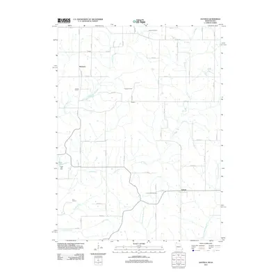
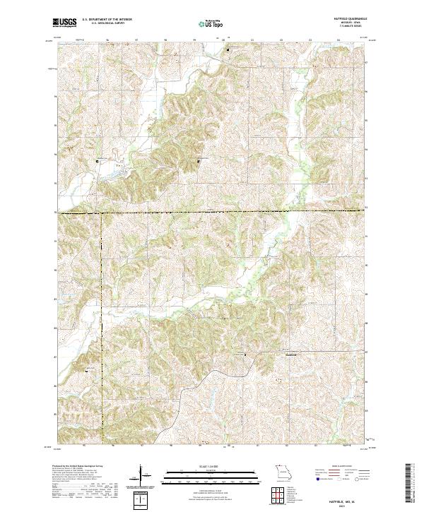
 1981 Hatfield1982 Print · USGSThe Missouri-Iowa borderlands near Hatfield were still deeply rural in the early eighties, characterized by small settlements and family farms. Genealogists can locate several remote burial sites such as Lincoln Center Cem and Petty Cem, or trace the winding course of the East Fork Grand River.
 - 1985 Map of Mount Ayr
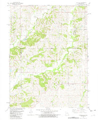
 1985 Mount Ayr1985 Print · USGSThe Iowa-Missouri borderlands are captured here in the mid-eighties, showing a landscape defined by the branching forks of the Platte River and Grand River. Researchers can trace the heritage of rural communities and conservation sites like Lake of Three Fires State Park and Rose Hill Cemetery.2 unique versions available
 - 2010 Map of Hatfield, 2010 Print
 2010 Hatfield2010 Print · USGSCovers Watterson, including Hatfield, Harrison County, and other nearby areas
 - 2011 Map of Hatfield, 2011 Print
 2011 Hatfield2011 Print · USGSCovers Watterson, including Hatfield, Harrison County, and other nearby areas
 - 2014 Map of Hatfield, 2014 Print
 2014 Hatfield2014 Print · USGSCovers Watterson, including Hatfield, Harrison County, and other nearby areas
 - 2017 Map of Hatfield, 2017 Print
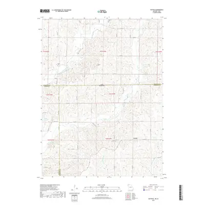 2017 Hatfield2017 Print · USGSCovers Watterson, including Hatfield, Harrison County, and other nearby areas
 - 2021 Map of Hatfield, 2021 Print
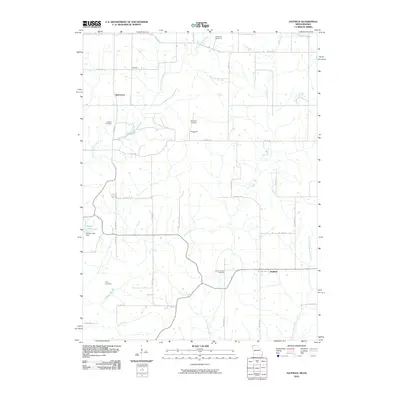
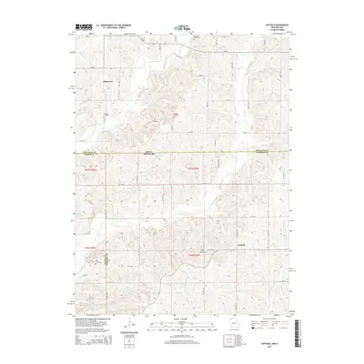
 2021 Hatfield2021 Print · USGSThe Missouri-Iowa borderlands near Hatfield are mapped here in fine detail during the early twenty-first century. Researchers can trace rural lineages through local landmarks like Lincoln Center Cem, Oakdale Cem, and the winding Lotts Cr.
End of results
Showing maps 1-12 of 12
Top cities near Watterson
- Mount Ayr historical maps
- Grant City historical maps
- Diagonal historical maps
- Kellerton historical maps
- Worth historical maps
- Redding historical maps
See more
Frequently asked questions
- What are the different types of historical maps available for Watterson?
- What is the oldest map of Watterson?
- Where can I purchase historical maps of Watterson for my home or office?
- Where can I download high-res historical maps of Watterson?
- Are there historical topographic maps available for Watterson?
- Is there historical aerial imagery available for Watterson?
- Where are historical maps of Watterson sourced from?