Old Maps of Jersey Meadows, Davenport
Explore 17 old maps of Jersey Meadows, spanning from 1891 to today. These high-resolution historic maps reveal how streets, neighborhoods, landmarks, and natural features evolved over time — perfect for genealogy, metal detecting, research, and local history exploration.
What you can do with these maps:
- See how Jersey Meadows changed over time: Compare historical maps to modern-day views to trace roads, homesites, rail lines & more.
- View detailed metadata: Each map includes creators, publishers, year, scale, and archive source.
- Overlay maps with satellite & LiDAR: Visualize the past alongside modern tools to explore terrain & human change.
- Trusted historical sources: Maps sourced from the USGS, Library of Congress, and other archives.
- Access maps your way: View online, download high-res files, or order prints for personal or research use.
Start exploring old maps of Jersey Meadows to uncover forgotten places, hidden landmarks, and the deep history beneath your feet.
Jersey Meadows, Davenport maps
(17)- 1891 Map of Davenport
 1891 Davenport1891 Print · USGSIowa's riverfront and rolling prairie townships are captured here during a period of rapid railroad expansion in the late nineteenth century. Trace early land tracts and rail junctions like Eldridge Junction or locate landmarks such as Green Tree Tavern and Maysville.
 - 1894 Map of Davenport
 1894 Davenport1894 Print · USGSDavenport and the surrounding Scott County prairies come alive in this late nineteenth-century survey of the Mississippi River front. Researchers can trace the early rail networks through Eldridge Junction and locate vanished landmarks like Green Tree Tavern and Gilbertown.4 unique versions available
 - 1901 Map of Rock Island
 1901 Rock Island1901 Print · USGSThe eastern Iowa borderlands and the Mississippi River confluence thrive during the rail boom of the late nineteenth century. Genealogists and historians can trace family roots through numerous small settlements like Lost Nation, Grand Mound, and the vital U. S. Arsenal grounds.2 unique versions available
 - 1910 Map of Rock Island, 1949 Print
 1910 Rock Island1949 Print · USGSEastern Iowa and the Illinois borderlands come alive in this late nineteenth-century survey of the river valleys and rail hubs. Genealogists and historians can trace old homesteads near Lost Nation, the early streets of Dewitt, and the sprawling U.S. Arsenal.
 - 1949 Map of Davenport
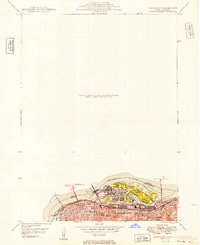 1949 Davenport1949 Print · USGSThe Quad Cities area emerged from the war years as a vital rail and river hub along the Mississippi River. Researchers can trace the complex industrial layout of Rock Island, find local landmarks like Augustana College, and locate the National Cem on the arsenal island.
 - 1953 Map of Davenport East, 1956 Print
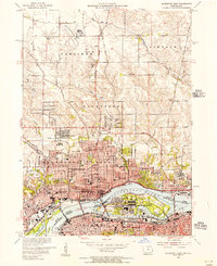 1953 Davenport East1956 Print · USGSThe Quad Cities are captured at a peak of mid-century growth, following the path of the Mississippi River and the bustling Rock Island Arsenal. Local historians can trace family roots at St Ambrose College or locate the former aviation hub at Cram Field.3 unique versions available
 - 1958 Map of Davenport, 1968 Print
 1958 Davenport1968 Print · USGSEastern Iowa and western Illinois thrive along the river during the late fifties, defined by the industrial Quad Cities and a robust rail network. Genealogists can trace family roots through settlements like Oasis and Stanwood or along the Cedar River.2 unique versions available
 - 1961 Map of Davenport
 1961 Davenport1961 Print · USGSThe Quad Cities and the eastern Iowa riverlands are captured here in the early sixties, showing the region's transition into a modern industrial and transit hub. Genealogists and historians can trace the paths of major railroads and find river landmarks like Rock Island Arsenal, Huron Island, and the Coralville Reservoir.
 - 1962 Map of Davenport
 1962 Davenport1962 Print · USGSThe Quad Cities and the Mississippi River corridor are shown at their industrial peak just before the interstate era fully transformed the region. Researchers can trace the sprawling rail networks of the Chicago Rock Island and Pacific and find landmarks like the Rock Island Arsenal and Wild Cat Den State Park.
 - 1984 Map of Davenport, 1985 Print
 1984 Davenport1985 Print · USGSThe Quad Cities and the eastern Iowa riverlands are captured in the mid-eighties as industry and conservation converged along the Mississippi. Genealogists and local historians can trace rural roots through Stender Church, Oxford Mills, and the Elmwood Cem burial grounds.2 unique versions available
 - 1991 Map of Davenport East, 1992 Print
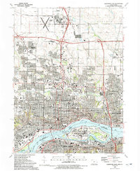 1991 Davenport East1992 Print · USGSThe Quad Cities region thrives along the river in the early nineties, showing the dense urban centers of Davenport and Rock Island. Researchers can trace the massive Rock Island Arsenal, historical burial sites like Confederate Cem, and local institutions like Augustana College.
 - 1993 Map of Davenport East, 1999 Print
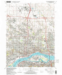 1993 Davenport East1999 Print · USGSThe Quad Cities are captured here in the 1990s, showcasing the complex urban and industrial landscape where the Iowa and Illinois borders meet. Genealogists and local historians can trace legacy sites like Oakdale Cemetery, the Rock Island Arsenal, and institutions such as Palmer College of Chiropractic.
 - 2010 Map of Davenport East, 2010 Print
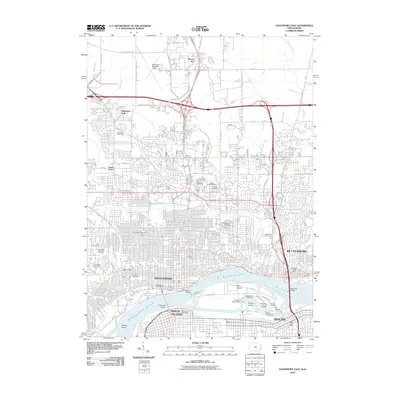 2010 Davenport East2010 Print · USGSThe Quad Cities area at the start of the 2010s shows a complex network of river industry and urban expansion. Genealogists and historians can trace significant burial sites like the Rock Island National Cemetery and Oakdale Cemetery, or locate landmarks such as the Government Bridge.
 - 2013 Map of Davenport East, 2013 Print
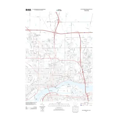 2013 Davenport East2013 Print · USGSThe Mississippi River corridor and the growing neighborhoods of Davenport come into focus in the 2010s. Trace the historic river crossings at Government Bridge and locate local landmarks like the Mississippi Valley Fair Grounds.
 - 2015 Map of Davenport East, 2015 Print
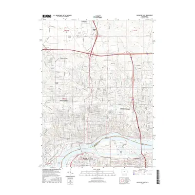 2015 Davenport East2015 Print · USGSThe Quad Cities area along the Mississippi River appears in 2015 as a major Midwestern hub of education, industry, and transportation. Researchers can trace the layout of Augustana College, find local family plots at Oakdale Cemetery, or study the industrial footprint near Sylvan Island.
 - 2018 Map of Davenport East, 2018 Print
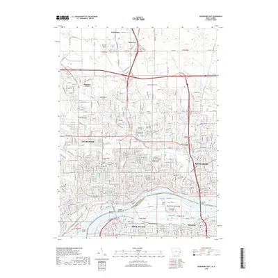 2018 Davenport East2018 Print · USGSThe Mississippi River corridor comes alive in this 2018 survey of the Quad Cities area during a period of sustained urban development. Genealogists and historians can locate specific burial sites at Rock Island Confederate Cemetery or the Oakdale Soldiers Lot.
 - 2022 Map of Davenport East, 2022 Print
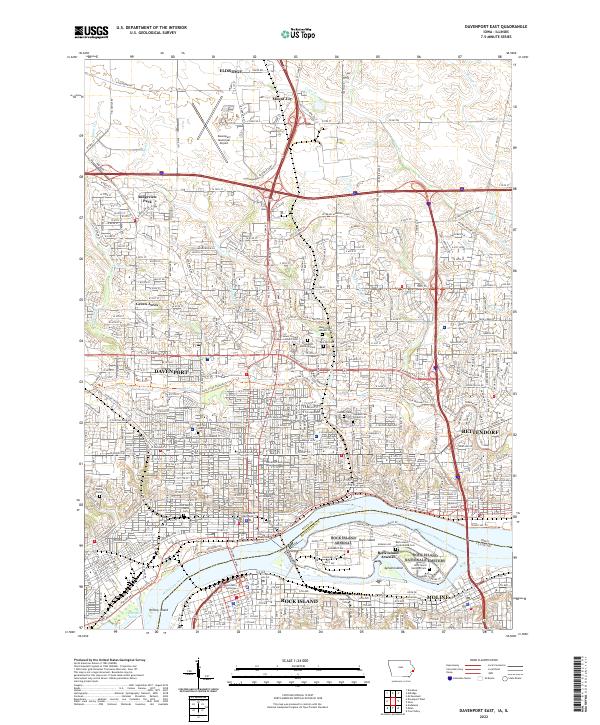 2022 Davenport East2022 Print · USGSThe Quad Cities area is captured in this modern survey of the river crossing between Iowa and Illinois. Genealogists and local historians can trace the expansive Rock Island National Cem or locate urban landmarks like the Scott County Courthouse and Saint Marys Church.
End of results
Showing maps 1-17 of 17
Frequently asked questions
- What are the different types of historical maps available for Jersey Meadows?
- What is the oldest map of Jersey Meadows?
- Where can I purchase historical maps of Jersey Meadows for my home or office?
- Where can I download high-res historical maps of Jersey Meadows?
- Are there historical topographic maps available for Jersey Meadows?
- Is there historical aerial imagery available for Jersey Meadows?
- Where are historical maps of Jersey Meadows sourced from?