2020s Maps of Liberty Township, Iowa
Explore 4 historic maps of Liberty Township from the 2020s. These maps offer a rare glimpse into what life looked like during the 2020s — showing old roads, neighborhoods, homes, and landmarks that have changed or disappeared over time.
Whether you're researching your family's past, planning a metal detecting trip, or studying how Liberty Township's landscape evolved across the 2020s, these high-resolution maps are a powerful tool for exploring the history of this region.
- Focus on a specific era: All maps on this page are from the 2020s, giving you a focused view of this time period.
- See what’s changed: Compare century-old streets, trails, and buildings to today's modern landscape using overlays and satellite layers.
- Research with precision: Use these maps for genealogy, historical research, land use analysis, or educational projects.
- View, download, or print: Maps are fully viewable online in high resolution, and can be downloaded or printed for your own records.
Start exploring Liberty Township's history through authentic maps from the 2020s. This is your window into the past.
Liberty Township, IA maps
(4)- 2022 Map of Bennett, 2022 Print
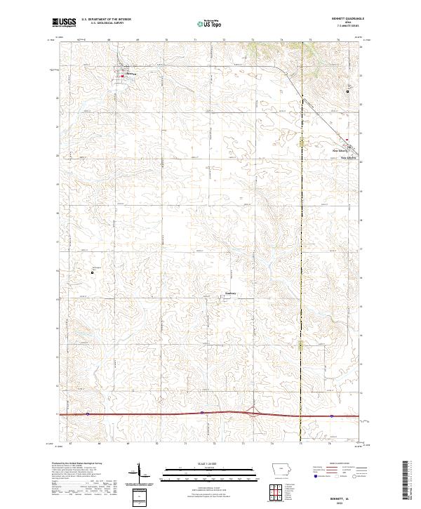 2022 Bennett2022 Print · USGSEastern Iowa farmland at the Cedar and Scott county line is documented here in the early twenty-first century. Genealogists and local historians can trace rural property orientations near Sunbury, Bennett, and the Farmington Cem.
 - 2022 Map of Dixon, 2022 Print
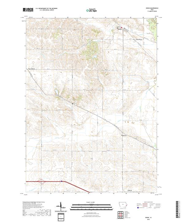 2022 Dixon2022 Print · USGSScott County, Iowa, is captured in this modern survey as a patchwork of productive farmland and small prairie towns. Researchers can trace family history at Dixon Cem and Kizer Cem or explore the settlements of Plainview and New Liberty.
 - 2022 Map of Lowden, 2022 Print
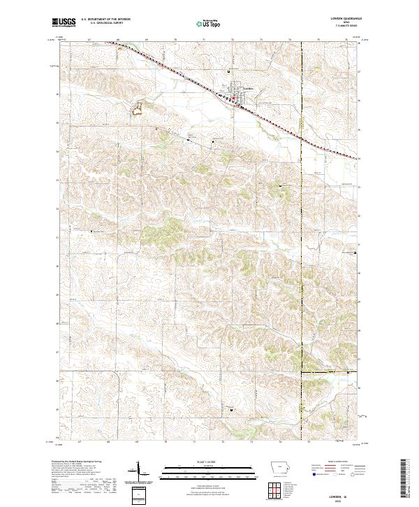 2022 Lowden2022 Print · USGSCedar County farmland near the town of Lowden is preserved here in the early twenty-first century. Genealogists can trace local family lineages through several small rural burial grounds, including the Elliott Part-Grave, Inland Cem, and Pioneer Cem.
 - 2022 Map of Wheatland, 2022 Print
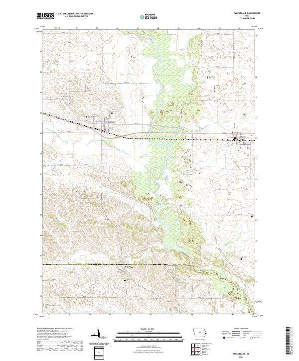 2022 Wheatland2022 Print · USGSClinton County's agricultural heartland is documented here in the early twenty-first century, centered on the Wapsipinicon River valley. Genealogists can locate family burial sites at English Cem, Saint Paul's Cem, and Rose Hill Cem near Calamus.
End of results
Showing maps 1-4 of 4
Top cities near Liberty Township
- Davenport historical maps
- Rock Island historical maps
- Eldridge historical maps
- Wilton historical maps
- Durant historical maps
- Blue Grass historical maps
See more
Top neighborhoods of Liberty Township
Frequently asked questions
- What are the different types of historical maps available for Liberty Township?
- What is the oldest map of Liberty Township?
- Where can I purchase historical maps of Liberty Township for my home or office?
- Where can I download high-res historical maps of Liberty Township?
- Are there historical topographic maps available for Liberty Township?
- Is there historical aerial imagery available for Liberty Township?
- Where are historical maps of Liberty Township sourced from?