2000s (21st Century) Maps of Pleasant Valley Township, Iowa
Explore 11 historic maps of Pleasant Valley Township from the 2000s (21st Century). These maps offer a rare glimpse into what life looked like during the 2000s — showing old roads, neighborhoods, homes, and landmarks that have changed or disappeared over time.
Whether you're researching your family's past, planning a metal detecting trip, or studying how Pleasant Valley Township's landscape evolved across the 2000s, these high-resolution maps are a powerful tool for exploring the history of this region.
- Focus on a specific era: All maps on this page are from the 2000s, giving you a focused view of this time period.
- See what’s changed: Compare century-old streets, trails, and buildings to today's modern landscape using overlays and satellite layers.
- Research with precision: Use these maps for genealogy, historical research, land use analysis, or educational projects.
- View, download, or print: Maps are fully viewable online in high resolution, and can be downloaded or printed for your own records.
Start exploring Pleasant Valley Township's history through authentic maps from the 2000s. This is your window into the past.
Pleasant Valley Township, IA maps
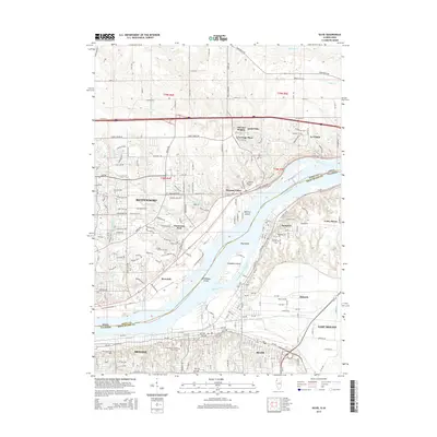
(11)- 2010 Map of Silvis, 2010 Print
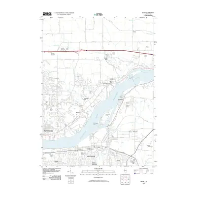 2010 Silvis2010 Print · USGSCovers Pleasant Valley Township, including Davenport, Moline, and other nearby areas
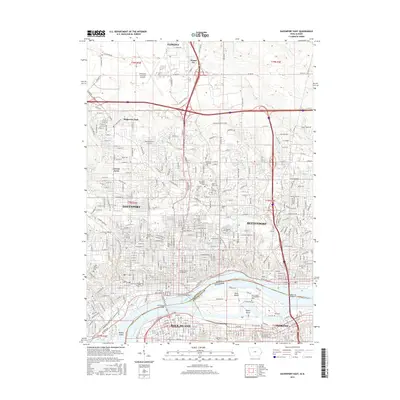
 - 2010 Map of Davenport East, 2010 Print
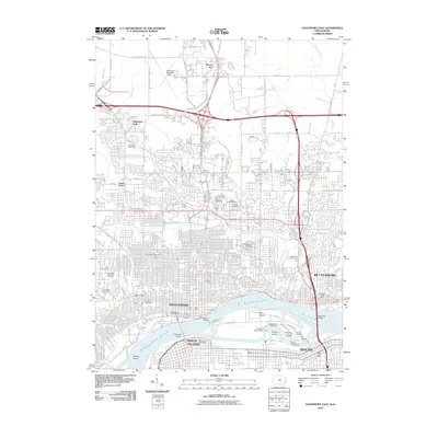 2010 Davenport East2010 Print · USGSCovers Pleasant Valley Township, including Davenport, Moline, and other nearby areas
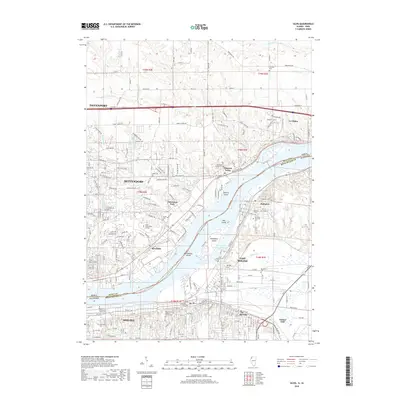
 - 2012 Map of Silvis, 2012 Print
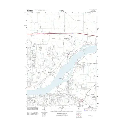 2012 Silvis2012 Print · USGSCovers Pleasant Valley Township, including Davenport, Moline, and other nearby areas
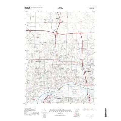
 - 2013 Map of Davenport East, 2013 Print
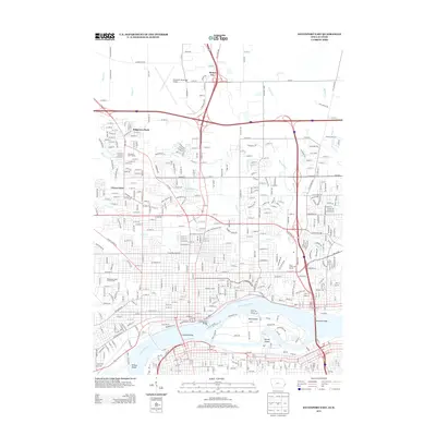 2013 Davenport East2013 Print · USGSCovers Pleasant Valley Township, including Davenport, Moline, and other nearby areas
 - 2015 Map of Silvis, 2015 Print
 2015 Silvis2015 Print · USGSCovers Pleasant Valley Township, including Davenport, Moline, and other nearby areas
 - 2015 Map of Davenport East, 2015 Print
 2015 Davenport East2015 Print · USGSCovers Pleasant Valley Township, including Davenport, Moline, and other nearby areas
 - 2018 Map of Silvis, 2018 Print
 2018 Silvis2018 Print · USGSCovers Pleasant Valley Township, including Davenport, Moline, and other nearby areas
 - 2018 Map of Davenport East, 2018 Print
 2018 Davenport East2018 Print · USGSCovers Pleasant Valley Township, including Davenport, Moline, and other nearby areas
 - 2021 Map of Silvis, 2021 Print
 2021 Silvis2021 Print · USGSCovers Pleasant Valley Township, including Davenport, Moline, and other nearby areas
 - 2022 Map of Davenport East, 2022 Print
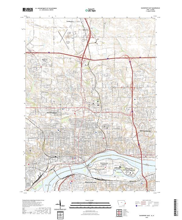 2022 Davenport East2022 Print · USGSThe Quad Cities area is captured in this modern survey of the river crossing between Iowa and Illinois. Genealogists and local historians can trace the expansive Rock Island National Cem or locate urban landmarks like the Scott County Courthouse and Saint Marys Church.
 - 2024 Map of Silvis, 2024 Print
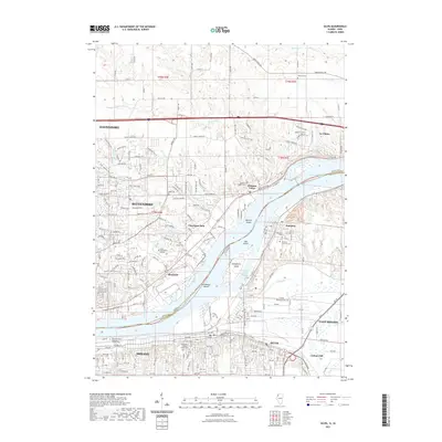
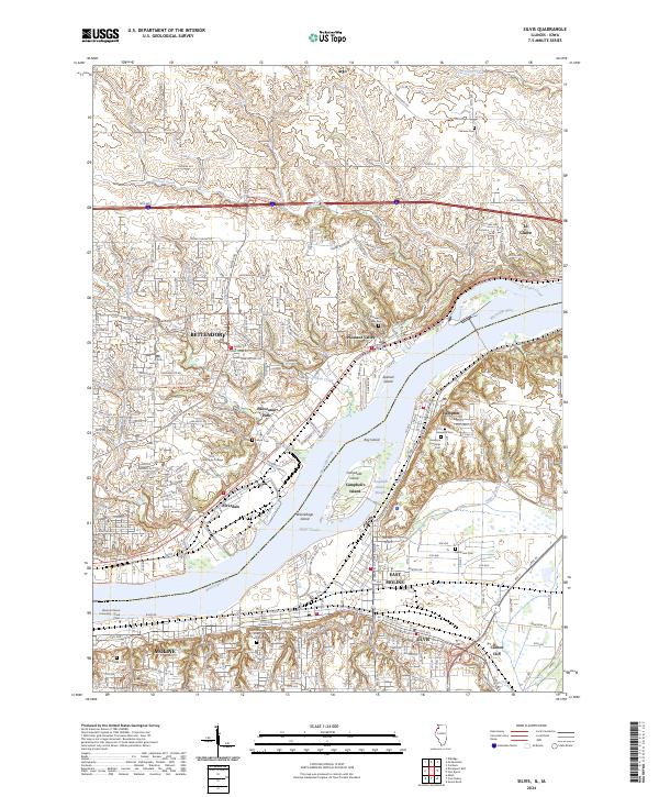 2024 Silvis2024 Print · USGSThe Quad Cities riverfront is captured here in the mid-2020s, showing the dense settlement patterns of both the Illinois and Iowa shores. Researchers can trace family history through sites like Hampton Township Cem, Riverside Cem, and Carbon Cliff.
End of results
Showing maps 1-11 of 11
Top cities near Pleasant Valley Township
- Davenport historical maps
- Moline historical maps
- Bettendorf historical maps
- Rock Island historical maps
- East Moline historical maps
- Silvis historical maps
See more
Top neighborhoods of Pleasant Valley Township
- Pleasant Valley historical maps
- Bettendorf historical maps
- Riverdale historical maps
- Panorama Park historical maps
- Trout Valley historical maps
- Leamer's Retreat historical maps
See more
Frequently asked questions
- What are the different types of historical maps available for Pleasant Valley Township?
- What is the oldest map of Pleasant Valley Township?
- Where can I purchase historical maps of Pleasant Valley Township for my home or office?
- Where can I download high-res historical maps of Pleasant Valley Township?
- Are there historical topographic maps available for Pleasant Valley Township?
- Is there historical aerial imagery available for Pleasant Valley Township?
- Where are historical maps of Pleasant Valley Township sourced from?