Old Maps of East Ridge Condominiums, Bettendorf for Metal Detecting
Plan your next treasure hunt with 16 historic maps of East Ridge Condominiums. Find old homesites, ghost towns, trails, and gathering spots that may be lost to time — perfect for identifying promising metal detecting locations.
- Locate forgotten sites: Uncover places like long-lost settlements, abandoned rail lines, or gathering spots.
- Plan better hunts: Use map overlays combined with LiDAR or satellite views to narrow in on historically rich areas.
- Made for detectorists: Thousands of hobbyists use these maps to discover relics, coins, and hidden history.
Use these historic maps to boost your research and find new opportunities beneath the surface of East Ridge Condominiums.
East Ridge Condominiums, Bettendorf maps
(16)- 1892 Map of Leclaire
 1892 Leclaire1892 Print · USGSThe Mississippi River border between Iowa and Illinois comes alive in the 1890s, before modern locks reshaped the shoreline. Genealogists and historians can trace riverside settlements like Leclaire, Port Byron, and the railroad junction at Watertown.
 - 1893 Map of Leclaire
 1893 Leclaire1893 Print · USGSThe riverfronts of Scott County and Rock Island County thrived in the late nineteenth century as vital hubs for steamboats and steam rail. Researchers can trace the early grids of Leclaire, Port Byron, and Valley City alongside the sprawling banks of the Mississippi River.4 unique versions available
 - 1899 Map of Clinton
 1899 Clinton1899 Print · USGSThe Mississippi River valley comes alive in the late 1890s, capturing the river-and-rail economy of Iowa and Illinois before modern channelization. Genealogists and historians can trace early townships and river landings, finding precise locations for Low Moor, Folletts, and Pink Prairie.5 unique versions available
 - 1949 Map of Silvis
 1949 Silvis1949 Print · USGSThe Illinois riverfront along the Mississippi at the close of the 1940s reveals a powerful hub of rail and industry. Genealogists and historians can trace institutional grounds like the East Moline State Hospital or find the early Miller Landing Field.
 - 1953 Map of Silvis, 1956 Print
 1953 Silvis1956 Print · USGSThe Quad Cities area flourished in the early fifties as an industrial powerhouse along the Mississippi River. Genealogists and historians can trace the footprint of the East Moline State Hospital, several rural schools like Barr School, and the grounds of Fairview Cemetery.3 unique versions available
 - 1958 Map of Davenport, 1968 Print
 1958 Davenport1968 Print · USGSEastern Iowa and western Illinois thrive along the river during the late fifties, defined by the industrial Quad Cities and a robust rail network. Genealogists can trace family roots through settlements like Oasis and Stanwood or along the Cedar River.2 unique versions available
 - 1961 Map of Davenport
 1961 Davenport1961 Print · USGSThe Quad Cities and the eastern Iowa riverlands are captured here in the early sixties, showing the region's transition into a modern industrial and transit hub. Genealogists and historians can trace the paths of major railroads and find river landmarks like Rock Island Arsenal, Huron Island, and the Coralville Reservoir.
 - 1962 Map of Davenport
 1962 Davenport1962 Print · USGSThe Quad Cities and the Mississippi River corridor are shown at their industrial peak just before the interstate era fully transformed the region. Researchers can trace the sprawling rail networks of the Chicago Rock Island and Pacific and find landmarks like the Rock Island Arsenal and Wild Cat Den State Park.
 - 1984 Map of Davenport, 1985 Print
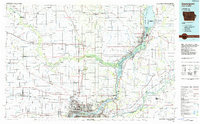 1984 Davenport1985 Print · USGSThe Quad Cities and the eastern Iowa riverlands are captured in the mid-eighties as industry and conservation converged along the Mississippi. Genealogists and local historians can trace rural roots through Stender Church, Oxford Mills, and the Elmwood Cem burial grounds.2 unique versions available
 - 1991 Map of Silvis, 1992 Print
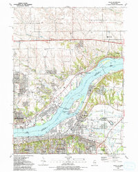 1991 Silvis1992 Print · USGSThe riverfront communities of the Quad Cities thrive along both banks of the Mississippi in the early nineties. Genealogists and local historians can locate family landmarks like Fairview Cem, Forest Grove Sch, and the Quad City Downs racetrack.
 - 2010 Map of Silvis, 2010 Print
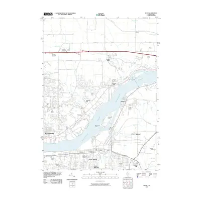 2010 Silvis2010 Print · USGSThe Mississippi River divides Iowa and Illinois in this 2010 survey of the Quad Cities area. Researchers can trace family history through sites like Saint Mary's Catholic Church Cemetery and the riverfront communities of Hampton and Riverdale.
 - 2012 Map of Silvis, 2012 Print
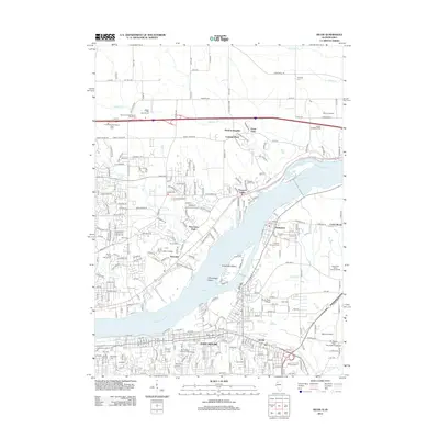 2012 Silvis2012 Print · USGSDavenport and the Quad Cities area show significant industrial and educational growth along the Mississippi River in the early twenty-first century. Genealogists and local historians can trace old community boundaries through Riverside Cem, Scott Community College, and the riverside town of Hampton.
 - 2015 Map of Silvis, 2015 Print
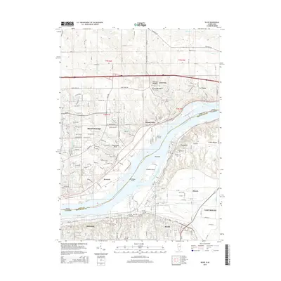 2015 Silvis2015 Print · USGSThe Quad Cities riverfront comes into focus in the mid-2010s, showing the industrial and residential expansion along the Mississippi. Researchers can trace local heritage through sites like Saint Mary's Catholic Church Cem, Hampton, and Winnebago Island.
 - 2018 Map of Silvis, 2018 Print
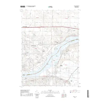 2018 Silvis2018 Print · USGSThe Quad Cities area at the Illinois-Iowa border is captured here in the late twenty-teens as a hub of river commerce and urban growth. Genealogists and local researchers can trace family sites at Riverside Cem, Hampton Cem, and the riverfront campus of Western Illinois Univ - Quad Cities.
 - 2021 Map of Silvis, 2021 Print
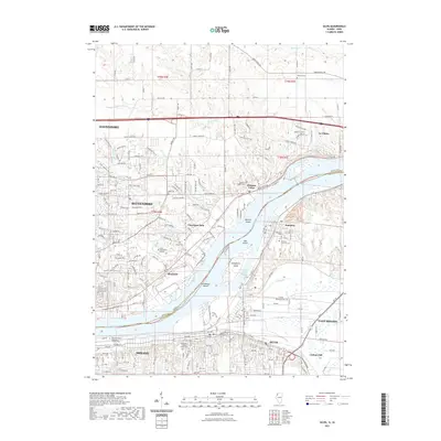 2021 Silvis2021 Print · USGSThe Quad Cities riverfront comes to life in the early 2020s, showing the complex boundary between Iowa and Illinois along the Mississippi River. Genealogists and local historians can trace the locations of Fairview Cem, Hampton Cem, and the industrial corridors of Silvis.
 - 2024 Map of Silvis, 2024 Print
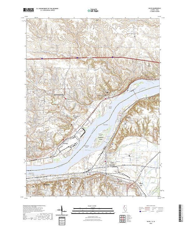 2024 Silvis2024 Print · USGSThe Quad Cities riverfront is captured here in the mid-2020s, showing the dense settlement patterns of both the Illinois and Iowa shores. Researchers can trace family history through sites like Hampton Township Cem, Riverside Cem, and Carbon Cliff.
End of results
Showing maps 1-16 of 16
Frequently asked questions
- What are the different types of historical maps available for East Ridge Condominiums?
- What is the oldest map of East Ridge Condominiums?
- Where can I purchase historical maps of East Ridge Condominiums for my home or office?
- Where can I download high-res historical maps of East Ridge Condominiums?
- Are there historical topographic maps available for East Ridge Condominiums?
- Is there historical aerial imagery available for East Ridge Condominiums?
- Where are historical maps of East Ridge Condominiums sourced from?