2000s (21st Century) Maps of Ames, Iowa
Explore 20 historic maps of Ames from the 2000s (21st Century). These maps offer a rare glimpse into what life looked like during the 2000s — showing old roads, neighborhoods, homes, and landmarks that have changed or disappeared over time.
Whether you're researching your family's past, planning a metal detecting trip, or studying how Ames's landscape evolved across the 2000s, these high-resolution maps are a powerful tool for exploring the history of this region.
- Focus on a specific era: All maps on this page are from the 2000s, giving you a focused view of this time period.
- See what’s changed: Compare century-old streets, trails, and buildings to today's modern landscape using overlays and satellite layers.
- Research with precision: Use these maps for genealogy, historical research, land use analysis, or educational projects.
- View, download, or print: Maps are fully viewable online in high resolution, and can be downloaded or printed for your own records.
Start exploring Ames's history through authentic maps from the 2000s. This is your window into the past.
Ames, IA maps
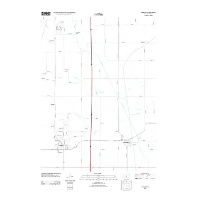
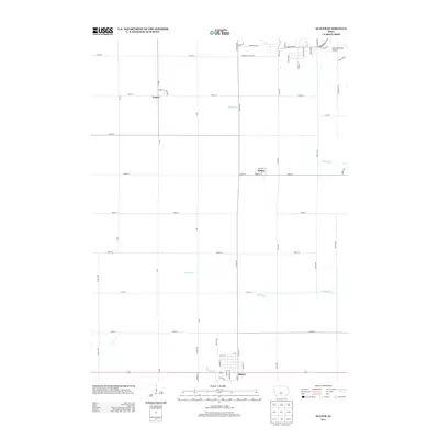
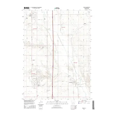
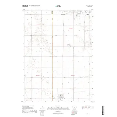
(20)- 2010 Map of Slater, 2010 Print
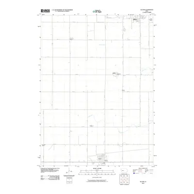 2010 Slater2010 Print · USGSCovers Ames, including Slater, Kelley, and other nearby areas
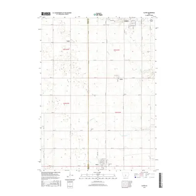
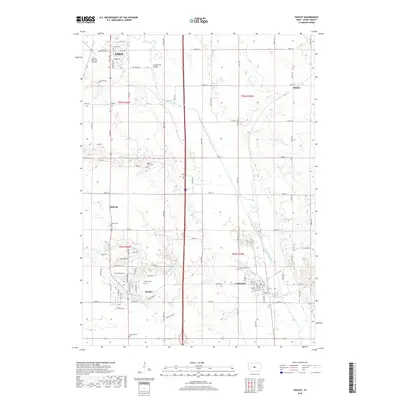
 - 2010 Map of Huxley, 2010 Print
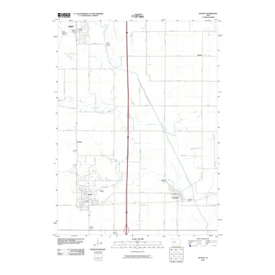 2010 Huxley2010 Print · USGSCovers Ames, including Huxley, Cambridge, and other nearby areas
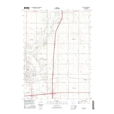
 - 2010 Map of Ames East, 2010 Print
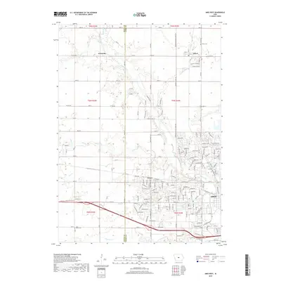
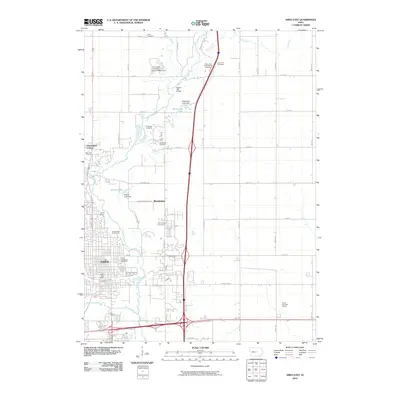 2010 Ames East2010 Print · USGSCovers Ames, including Nevada, Franklin Township, and other nearby areas
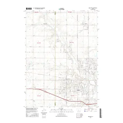
 - 2010 Map of Ames West, 2010 Print
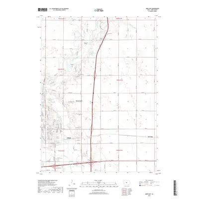
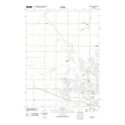 2010 Ames West2010 Print · USGSCovers Ames, including Gilbert, Franklin Township, and other nearby areas
 - 2013 Map of Huxley, 2013 Print
 2013 Huxley2013 Print · USGSCovers Ames, including Huxley, Cambridge, and other nearby areas
 - 2013 Map of Ames East, 2013 Print
 2013 Ames East2013 Print · USGSCovers Ames, including Nevada, Franklin Township, and other nearby areas
 - 2013 Map of Ames West, 2013 Print
 2013 Ames West2013 Print · USGSCovers Ames, including Gilbert, Franklin Township, and other nearby areas
 - 2013 Map of Slater, 2013 Print
 2013 Slater2013 Print · USGSCovers Ames, including Slater, Kelley, and other nearby areas
 - 2015 Map of Huxley, 2015 Print
 2015 Huxley2015 Print · USGSCovers Ames, including Huxley, Cambridge, and other nearby areas
 - 2015 Map of Slater, 2015 Print
 2015 Slater2015 Print · USGSCovers Ames, including Slater, Kelley, and other nearby areas
 - 2015 Map of Ames West, 2015 Print
 2015 Ames West2015 Print · USGSCovers Ames, including Gilbert, Franklin Township, and other nearby areas
 - 2015 Map of Ames East, 2015 Print
 2015 Ames East2015 Print · USGSCovers Ames, including Nevada, Franklin Township, and other nearby areas
 - 2018 Map of Ames West, 2018 Print
 2018 Ames West2018 Print · USGSCovers Ames, including Gilbert, Franklin Township, and other nearby areas
 - 2018 Map of Ames East, 2018 Print
 2018 Ames East2018 Print · USGSCovers Ames, including Nevada, Franklin Township, and other nearby areas
 - 2018 Map of Slater, 2018 Print
 2018 Slater2018 Print · USGSCovers Ames, including Slater, Kelley, and other nearby areas
 - 2018 Map of Huxley, 2018 Print
 2018 Huxley2018 Print · USGSCovers Ames, including Huxley, Cambridge, and other nearby areas
 - 2022 Map of Huxley, 2022 Print
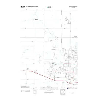
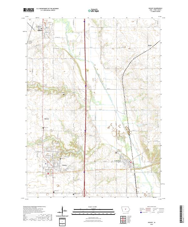 2022 Huxley2022 Print · USGSStory County's prairie landscape is captured here in the early 2020s, showcasing the development between the city of AMES and the South Skunk River. Researchers can locate numerous historic burial sites like Fjeldberg Cem or trace the path of the Heart of Iowa Nature Trl through Huxley.
 - 2022 Map of Slater, 2022 Print
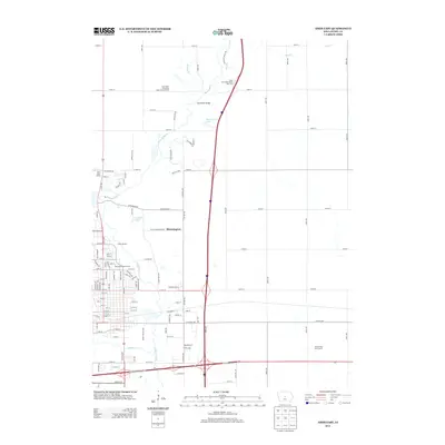
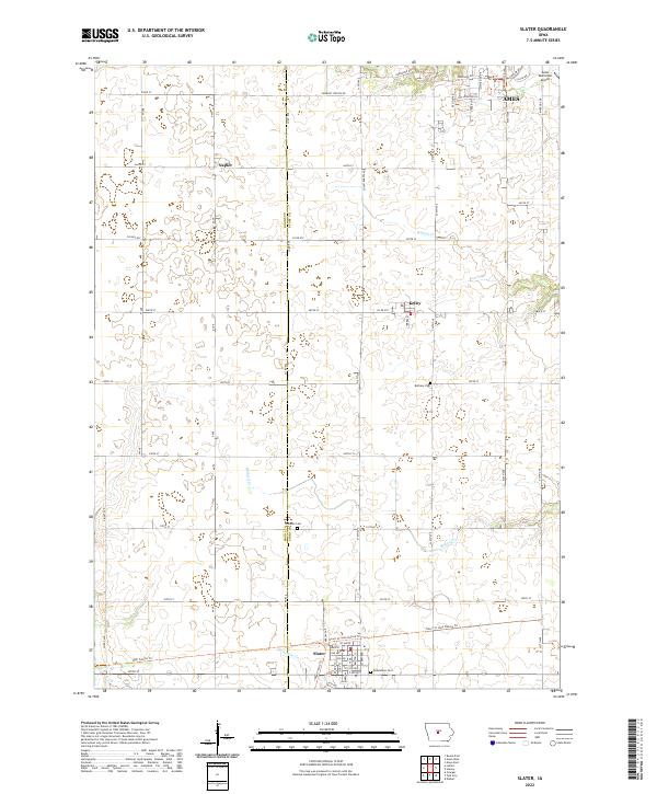 2022 Slater2022 Print · USGSThe rural landscapes of Story and Boone Counties are captured here in the early twenty-first century as the city of Ames expands southward. Local historians can trace cemetery locations like Bethany Cemetery and follow the paths of Ballard Creek through Kelley and Slater.
 - 2023 Map of Ames East, 2023 Print
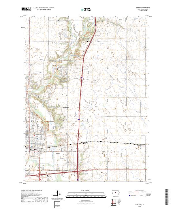 2023 Ames East2023 Print · USGSThe eastern edge of Ames and the surrounding Story County countryside are shown here in the 2020s. Researchers can trace family sites like Brouhard Cem and Arrasmith Cem or follow the South Skunk River corridor.
 - 2023 Map of Ames West, 2023 Print
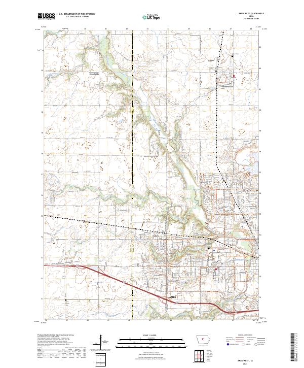 2023 Ames West2023 Print · USGSThe area west of Ames in 2023 shows a landscape defined by the expansion of Iowa State University and a dense network of modern nature trails. Genealogists and local historians can trace the rural roots of the county through sites like Zenorsville, Olive Branch Cemetery, and the settlement of Ontario.
End of results
Showing maps 1-20 of 20
Top cities near Ames
- Ankeny historical maps
- Nevada historical maps
- Polk City historical maps
- Huxley historical maps
- Story City historical maps
- Madrid historical maps
See more
Top neighborhoods of Ames
- Ontario historical maps
- Union Drive historical maps
- Iowa State Center historical maps
- Schilletter-University Village historical maps
- Richardson Court historical maps
- Frederiksen Court historical maps
See more
Frequently asked questions
- What are the different types of historical maps available for Ames?
- What is the oldest map of Ames?
- Where can I purchase historical maps of Ames for my home or office?
- Where can I download high-res historical maps of Ames?
- Are there historical topographic maps available for Ames?
- Is there historical aerial imagery available for Ames?
- Where are historical maps of Ames sourced from?