Old Maps of Tama County, Iowa for Hiking & Exploration
Hike through history with 159 historic maps of Tama County. Explore old trails, ghost towns, and forgotten backroads — perfect for outdoor adventurers and local explorers.
- Rediscover forgotten places: Map out old mining camps, roads, and footpaths that no longer exist on modern maps.
- Layer with modern tools: Combine with LiDAR or satellite views to plan hikes through historical terrain.
- Made for exploration: Popular among hikers, overlanders, and local history lovers.
Use these maps to find adventure and explore the hidden past of Tama County.
Tama County, IA maps
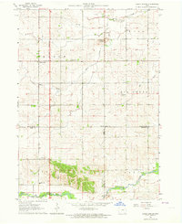
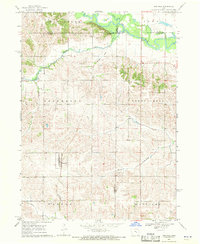
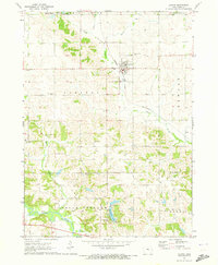
(159)- 1954 Map of Waterloo, 1968 Print
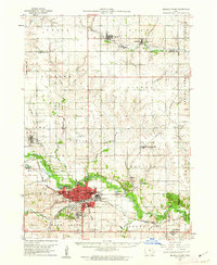
 1954 Waterloo1968 Print · USGSCentral Iowa at the height of its mid-century agricultural and rail boom features the growing hubs of Waterloo and Cedar Falls. Genealogists and researchers can trace the rail corridors of the Chicago Great Western and find local landmarks like Iowa State College and Brushy Ridge.4 unique versions available
 - 1954 Map of Des Moines, 1973 Print
 1954 Des Moines1973 Print · USGSCentral Iowa's evolving landscape is captured here in the early seventies, just as major reservoirs were reshaping the river valleys. Genealogists and historians can trace the rail corridors of the Burlington Northern or locate family roots near Pella, Indianola, and Knoxville.2 unique versions available
 - 1955 Map of Waterloo
 1955 Waterloo1955 Print · USGSCentral Iowa in the mid-fifties presents a dense landscape of rail-connected farming towns and growing river cities. Researchers can trace ancestral roots and old transport routes through Waterloo, Marshalltown, and Ames, while locating rural Cemeteries and local Quarries.2 unique versions available
 - 1956 Map of Des Moines
 1956 Des Moines1956 Print · USGSCentral Iowa in the mid-fifties shows a landscape defined by bustling rail hubs and deep-rooted agricultural research. Genealogists and researchers can trace the growth of Des Moines and Ames, locate the Sac and Fox Indian Reservation, or study the paths of the Skunk River and South Skunk River.
 - 1957 Map of Des Moines
 1957 Des Moines1957 Print · USGSCentral Iowa's post-war landscape is defined here by the converging rail lines and river valleys that shaped its earliest settlements. Genealogists and historians can trace the paths of the Rock Island Railroad and locate community landmarks in Des Moines, Ames, and Newton.
 - 1960 Map of Marshalltown, 1962 Print
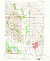
 1960 Marshalltown1962 Print · USGSIn the early 1960s, Marshalltown stood as a bustling rail and manufacturing center along the Iowa River. Genealogists can trace family names through several historic sites, including Riverside Cem, Rose Hill Memorial Gardens, and the rural Prairieville Cem.2 unique versions available
 - 1960 Map of Le Grand, 1962 Print
 1960 Le Grand1962 Print · USGSMarshall County farm country and the industrial river valley are captured here in the early sixties. Researchers can trace the dual rail lines of the Chicago Great Western and the Chicago and North Western or locate family plots at Rock Valley Cem and Pleasant Hill Cem.2 unique versions available
 - 1960 Map of Conrad East, 1966 Print
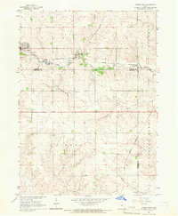 1960 Conrad East1966 Print · USGSMid-century Marshall County agriculture and commerce meet in this survey of the Grundy and Tama county borders. Genealogists and historians can trace the paths of the Chicago and North Western rail line through Beaman and locate family sites at Vienna Cem or Oakland Cem.
 - 1963 Map of Buckingham, 1964 Print
 1963 Buckingham1964 Print · USGSThe rural agricultural landscape of Black Hawk and Tama counties is captured here in the early sixties. Researchers can trace the Chicago and North Western rail line and locate community landmarks like Buckingham, Voorhies, and Blessing Ch.2 unique versions available
 - 1963 Map of Eagle Center, 1964 Print
 1963 Eagle Center1964 Print · USGSIn the early 1960s, this agricultural region at the junction of Black Hawk and Tama counties maintained a network of small community centers. Genealogists can trace family footprints through sites like Township Cem, Geneseo Ch, and St Mary Sch.2 unique versions available
 - 1968 Map of Belle Plaine SW, 1970 Print
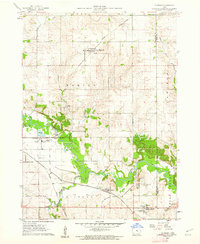
 1968 Belle Plaine SW1970 Print · USGSPoweshiek County agricultural lands are captured here in the late sixties, centered on the newly established waterfront of Holiday Lake. Genealogists and local historians can trace family farm plots near Kent Chapel or follow the waters of Walnut Creek.
 - 1968 Map of Belle Plaine, 1970 Print
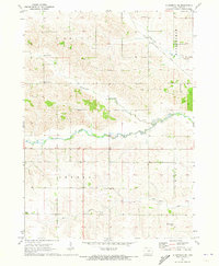
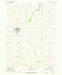
 1968 Belle Plaine1970 Print · USGSBenton and Tama counties appear here in the late sixties, centered on the rail hub of Belle Plaine and the Iowa River. Genealogists can locate several local burial sites including St Marys Cem, Irving Cem, and National Cem.2 unique versions available
 - 1968 Map of Chelsea, 1970 Print
 1968 Chelsea1970 Print · USGSThe Iowa River valley in the late sixties reveals a landscape of vital wetlands and intersecting rail lines near Chelsea. Genealogists and local historians can locate numerous rural burial grounds like Stayskal Cem and Rector Cem alongside the tracks of the Chicago Milwaukee St Paul and Pacific railroad.
 - 1968 Map of Hartwick, 1970 Print
 1968 Hartwick1970 Print · USGSThe rural landscape around Hartwick is shown in the late sixties, where the Iowa River meets the borders of several counties. Genealogists and local historians can trace family plots at Union Cem or Holan Cem and locate an Old Railroad Grade through the northern hills.
 - 1969 Map of Des Moines
 1969 Des Moines1969 Print · USGSCentral Iowa's fertile plains and growing capital are captured here during the late sixties, a time of major highway expansion and reservoir construction. Genealogists and researchers can trace rural township boundaries, local cemeteries, and rail lines serving towns like Pella, Grinnell, and Oskaloosa.
 - 1971 Map of Gladbrook NE, 1973 Print
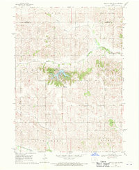
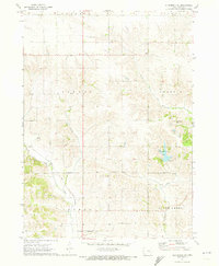
 1971 Gladbrook NE1973 Print · USGSThe Tama County countryside in the early seventies centers on the rail siding at Dinsdale and the winding path of Wolf Creek. Family historians can locate rural burial sites like Crystal Cem and Bakers Grove Cem among the township fields.2 unique versions available
 - 1971 Map of Elberon, 1973 Print
 1971 Elberon1973 Print · USGSElberon and the surrounding farmlands of Tama and Benton counties appear here in the early 1970s. Genealogists and local historians can locate several family burial sites like Houghton Cem and Toogood Cem near the Chicago Milwaukee St Paul and Pacific rail line.
 - 1971 Map of Dysart, 1973 Print
 1971 Dysart1973 Print · USGSThe agricultural community of Dysart sits at the heart of this early 1970s landscape on the Tama and Benton county line. Researchers can trace the path of the Chicago Rock Island and Pacific railroad or locate family burials at Ramthun Cem and St Joseph Cem.
 - 1971 Map of Lincoln, 1973 Print
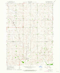
 1971 Lincoln1973 Print · USGSThe Grundy and Tama County border comes alive in the early seventies, centered on the rural rail towns of Lincoln and Morrison. Trace family roots near Township Cem or follow the competing lines of the Rock Island and North Western railroads.
 - 1971 Map of Traer, 1973 Print
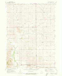
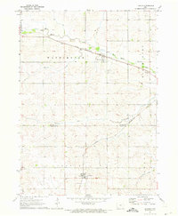
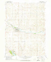
 1971 Traer1973 Print · USGSNorth-central Tama County is captured here in the early 1970s as a vital junction of rail lines and prairie waterways. Researchers can trace local heritage through landmarks like Buckingham Cem, St Paul Ch, and the small settlement of Twelvemile.
 - 1971 Map of Clutier, 1973 Print
 1971 Clutier1973 Print · USGSTama County farming communities thrive in the early seventies, centered on the rail-connected hub of Clutier. Local researchers can trace family roots through sites like St Wenceslaus Ch, Oneida Cem, and the path of the Chicago and North Western line.
 - 1971 Map of Reinbeck, 1973 Print
 1971 Reinbeck1973 Print · USGSAgricultural life in Grundy and Tama counties reached a mid-century peak as railroads still connected the prairie townships. Genealogists and historians can trace family plots at Amity Cem and Lincoln Cem, or follow the rail lines through Reinbeck and Dinsdale.
 - 1971 Map of Garwin, 1973 Print
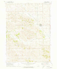
 1971 Garwin1973 Print · USGSTama County's rolling farmland and river valleys are captured here in the early 1970s, centered on the rail-connected town of Garwin. Genealogists and local researchers can locate numerous rural landmarks, from Dobson Carlton Cem and Turner Cem to Union Grove State Park.
 - 1971 Map of Gladbrook SE, 1973 Print
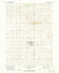
 1971 Gladbrook SE1973 Print · USGSTama County, Iowa, was characterized by its traditional township grids and riparian corridors in the early seventies. Genealogists and local historians can trace legacy sites like the County Home, Rose Hill Ch, and the Fee Chapel Cem.
 - 1971 Map of Gladbrook, 1973 Print
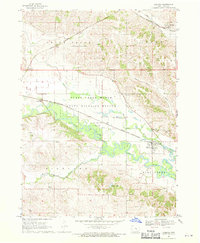
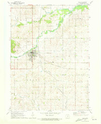
 1971 Gladbrook1973 Print · USGSGladbrook and the surrounding Tama County countryside are captured here in the early 1970s, showcasing the region's rail-and-river geography. Researchers can trace the Chicago and North Western line or locate family plots at Maple Hill Cem and Crystal Cem.2 unique versions available
Showing maps 1-25 of 159
Top cities of Tama County
- Tama historical maps
- Toledo historical maps
- Traer historical maps
- Dysart historical maps
- Gladbrook historical maps
- Garwin historical maps
See more
Frequently asked questions
- What are the different types of historical maps available for Tama County?
- What is the oldest map of Tama County?
- Where can I purchase historical maps of Tama County for my home or office?
- Where can I download high-res historical maps of Tama County?
- Are there historical topographic maps available for Tama County?
- Is there historical aerial imagery available for Tama County?
- Where are historical maps of Tama County sourced from?