2000s (21st Century) Maps of Clearfield, Iowa
Explore 10 historic maps of Clearfield from the 2000s (21st Century). These maps offer a rare glimpse into what life looked like during the 2000s — showing old roads, neighborhoods, homes, and landmarks that have changed or disappeared over time.
Whether you're researching your family's past, planning a metal detecting trip, or studying how Clearfield's landscape evolved across the 2000s, these high-resolution maps are a powerful tool for exploring the history of this region.
- Focus on a specific era: All maps on this page are from the 2000s, giving you a focused view of this time period.
- See what’s changed: Compare century-old streets, trails, and buildings to today's modern landscape using overlays and satellite layers.
- Research with precision: Use these maps for genealogy, historical research, land use analysis, or educational projects.
- View, download, or print: Maps are fully viewable online in high resolution, and can be downloaded or printed for your own records.
Start exploring Clearfield's history through authentic maps from the 2000s. This is your window into the past.
Clearfield, IA maps
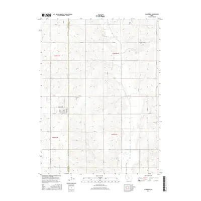
(10)- 2010 Map of Clearfield, 2010 Print
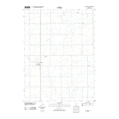 2010 Clearfield2010 Print · USGSCovers Clearfield, including Ringgold County, Taylor County, and other nearby areas
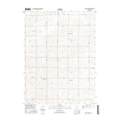
 - 2010 Map of Merle Junction, 2010 Print
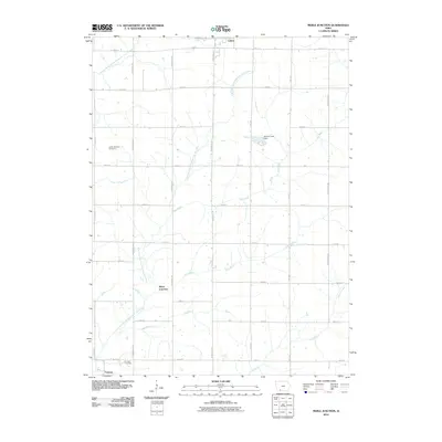 2010 Merle Junction2010 Print · USGSCovers Clearfield, including Lenox, Conway, and other nearby areas
 - 2013 Map of Clearfield, 2013 Print
 2013 Clearfield2013 Print · USGSCovers Clearfield, including Ringgold County, Taylor County, and other nearby areas
 - 2013 Map of Merle Junction, 2013 Print
 2013 Merle Junction2013 Print · USGSCovers Clearfield, including Lenox, Conway, and other nearby areas
 - 2015 Map of Clearfield, 2015 Print
 2015 Clearfield2015 Print · USGSCovers Clearfield, including Ringgold County, Taylor County, and other nearby areas
 - 2015 Map of Merle Junction, 2015 Print
 2015 Merle Junction2015 Print · USGSCovers Clearfield, including Lenox, Conway, and other nearby areas
 - 2018 Map of Merle Junction, 2018 Print
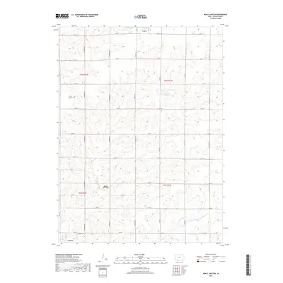 2018 Merle Junction2018 Print · USGSCovers Clearfield, including Lenox, Conway, and other nearby areas
 - 2018 Map of Clearfield, 2018 Print
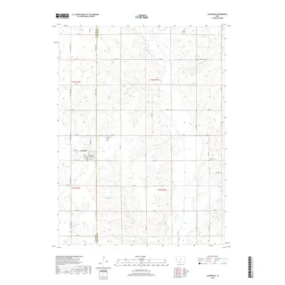 2018 Clearfield2018 Print · USGSCovers Clearfield, including Ringgold County, Taylor County, and other nearby areas
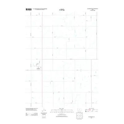
 - 2022 Map of Clearfield, 2022 Print
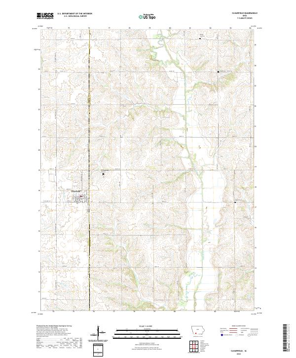 2022 Clearfield2022 Print · USGSClearfield and the surrounding farm country are mapped here at the Taylor and Ringgold county line in recent years. Researchers can pinpoint early family burial sites like Tindie Cem and Rising Sun Cem or trace the path of the Platte River.
 - 2022 Map of Merle Junction, 2022 Print
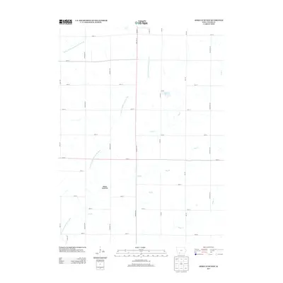
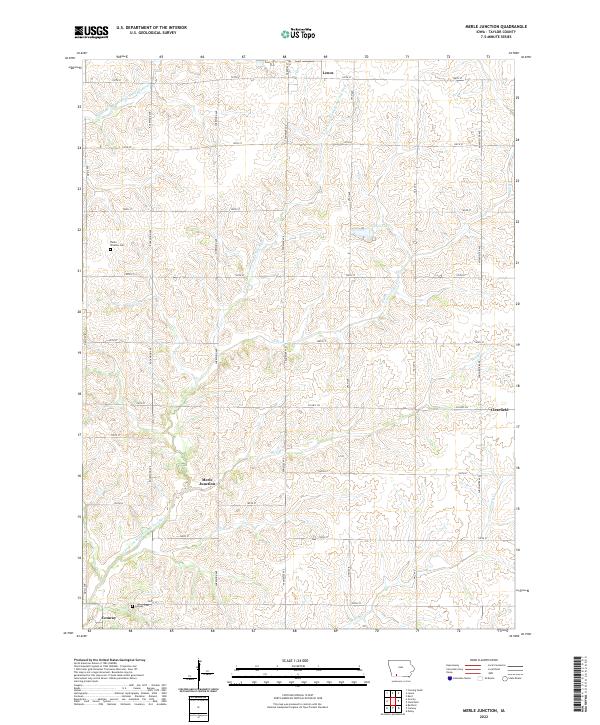 2022 Merle Junction2022 Print · USGSTaylor County, Iowa, is shown in the early 2020s as a landscape of grid-patterned township roads and branching river headwaters. Family historians can locate rural landmarks like Winslow Cem or trace the drainage of the E Fork One Hundred and Two River past Merle Junction.
End of results
Showing maps 1-10 of 10
Top cities near Clearfield
- Mount Ayr historical maps
- Bedford historical maps
- Lenox historical maps
- Diagonal historical maps
- Prescott historical maps
- Blockton historical maps
See more
Frequently asked questions
- What are the different types of historical maps available for Clearfield?
- What is the oldest map of Clearfield?
- Where can I purchase historical maps of Clearfield for my home or office?
- Where can I download high-res historical maps of Clearfield?
- Are there historical topographic maps available for Clearfield?
- Is there historical aerial imagery available for Clearfield?
- Where are historical maps of Clearfield sourced from?