2020s Maps of Lorimor, Iowa
Explore 2 historic maps of Lorimor from the 2020s. These maps offer a rare glimpse into what life looked like during the 2020s — showing old roads, neighborhoods, homes, and landmarks that have changed or disappeared over time.
Whether you're researching your family's past, planning a metal detecting trip, or studying how Lorimor's landscape evolved across the 2020s, these high-resolution maps are a powerful tool for exploring the history of this region.
- Focus on a specific era: All maps on this page are from the 2020s, giving you a focused view of this time period.
- See what’s changed: Compare century-old streets, trails, and buildings to today's modern landscape using overlays and satellite layers.
- Research with precision: Use these maps for genealogy, historical research, land use analysis, or educational projects.
- View, download, or print: Maps are fully viewable online in high resolution, and can be downloaded or printed for your own records.
Start exploring Lorimor's history through authentic maps from the 2020s. This is your window into the past.
Lorimor, IA maps
(2)- 2022 Map of Lorimor North, 2022 Print
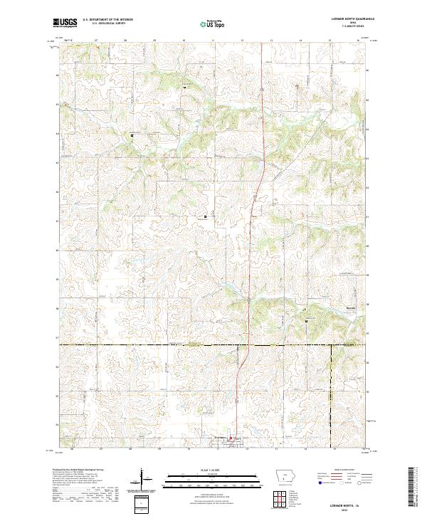 2022 Lorimor North2022 Print · USGSThe rural southern reaches of Madison County are captured here in the early twenty-first century, showcasing a landscape defined by farming and family history. Researchers can locate several historic burial grounds like Hamblin Cem and Barney Cem or trace the winding courses of S Fork Clanton Cr.
 - 2022 Map of Lorimor South, 2022 Print
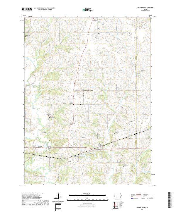 2022 Lorimor South2022 Print · USGSUnion County farmland near the Clarke County line is documented here in the early twenty-first century. Genealogists can locate family sites at Mount Pisgah Cemetery, Beulah Cemetery, and the small settlement of Monette.
End of results
Showing maps 1-2 of 2
Top cities near Lorimor
- Osceola historical maps
- Winterset historical maps
- Afton historical maps
- Murray historical maps
- Truro historical maps
- Patterson historical maps
See more
Frequently asked questions
- What are the different types of historical maps available for Lorimor?
- What is the oldest map of Lorimor?
- Where can I purchase historical maps of Lorimor for my home or office?
- Where can I download high-res historical maps of Lorimor?
- Are there historical topographic maps available for Lorimor?
- Is there historical aerial imagery available for Lorimor?
- Where are historical maps of Lorimor sourced from?