Old Maps of Lincoln Township, Iowa for Academic Research
Study the evolution of Lincoln Township with 43 high-resolution historic maps. Whether you're teaching, researching, or modeling changes in land use, these maps provide essential visual documentation of urban, environmental, and geographic change.
- Analyze long-term change: Track patterns in development, transportation, and natural features.
- Ideal for environmental or urban studies: Support academic projects with primary historical map data.
- Use in the classroom or lab: Educators and researchers rely on these maps to bring historical context to life.
These maps are a powerful tool for teaching, research, and visualizing how Lincoln Township has changed over the decades.
Lincoln Township, IA maps
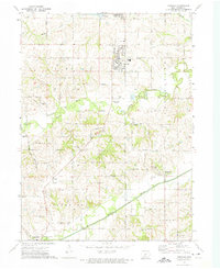
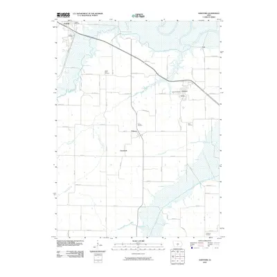
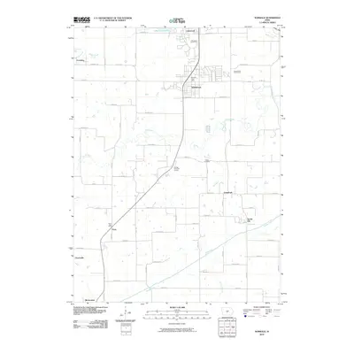
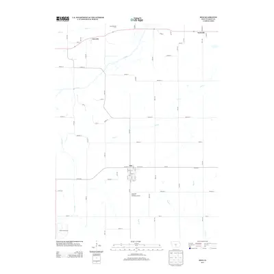
(43)- 1910 Map of Milo
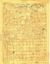 1910 Milo1910 Print · USGSWarren and Marion counties are captured here at the height of their early 20th-century rural development, before the modernization of the road network. Genealogists can trace family footprints through numerous country schools like Prairie Creek School and the river-crossing at Hammondsburg Bridge.2 unique versions available
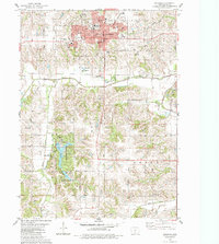
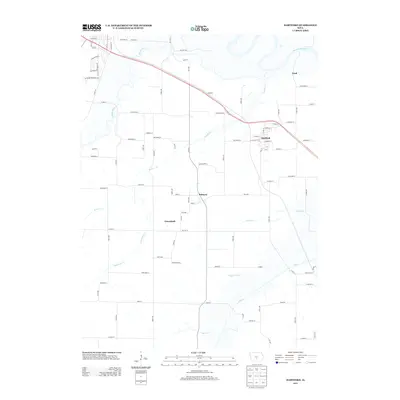
 - 1931 Map of Indianola
 1931 Indianola1931 Print · USGSWarren County at the end of the 1920s reveals a landscape of thriving rail junctions and rural schoolhouses across central Iowa. Researchers can trace the path of the Chicago Great Western RR through Martensdale and locate local landmarks like Scotch Ridge Sch and the Orillia Mine.4 unique versions available
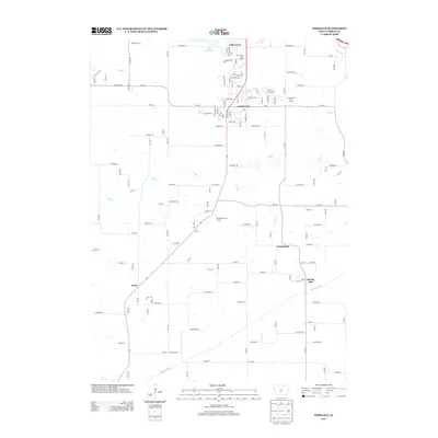
 - 1954 Map of Des Moines, 1973 Print
 1954 Des Moines1973 Print · USGSCentral Iowa's evolving landscape is captured here in the early seventies, just as major reservoirs were reshaping the river valleys. Genealogists and historians can trace the rail corridors of the Burlington Northern or locate family roots near Pella, Indianola, and Knoxville.2 unique versions available
 - 1956 Map of Des Moines
 1956 Des Moines1956 Print · USGSCentral Iowa in the mid-fifties shows a landscape defined by bustling rail hubs and deep-rooted agricultural research. Genealogists and researchers can trace the growth of Des Moines and Ames, locate the Sac and Fox Indian Reservation, or study the paths of the Skunk River and South Skunk River.
 - 1957 Map of Des Moines
 1957 Des Moines1957 Print · USGSCentral Iowa's post-war landscape is defined here by the converging rail lines and river valleys that shaped its earliest settlements. Genealogists and historians can trace the paths of the Rock Island Railroad and locate community landmarks in Des Moines, Ames, and Newton.
 - 1965 Map of Milo, 1966 Print
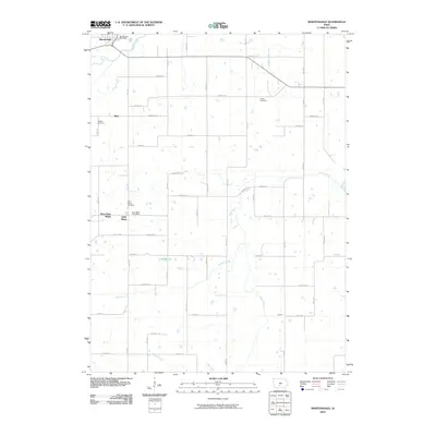
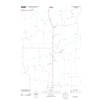
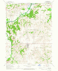 1965 Milo1966 Print · USGSWarren County’s rural townships come to life in the mid-1960s, showing the agricultural patterns and small-town centers of south-central Iowa. You can trace early settlement history through the Old Railroad Grade and several local burial grounds like Hammondsburg Cem and the IOOF Cem.
 - 1965 Map of Hartford, 1966 Print
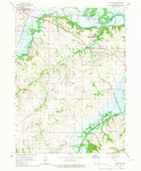 1965 Hartford1966 Print · USGSThe mid-1960s landscape of Warren County is defined by the valley of the Des Moines River and the emerging Lake Red Rock. Genealogists and researchers can trace the rail lines of the Chicago Rock Island and Pacific or locate burial sites like Black Cem and Carlisle Cem.
 - 1969 Map of Des Moines
 1969 Des Moines1969 Print · USGSCentral Iowa's fertile plains and growing capital are captured here during the late sixties, a time of major highway expansion and reservoir construction. Genealogists and researchers can trace rural township boundaries, local cemeteries, and rail lines serving towns like Pella, Grinnell, and Oskaloosa.
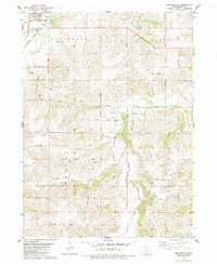
 - 1972 Map of Scotch Ridge, 1974 Print
 1972 Scotch Ridge1974 Print · USGSWarren County terrain in the early seventies shows a landscape shaped by the Middle River and the regional rail network. Genealogists and local historians can locate the Laverty Cem, North River Ch, and the community of Summerset along the railroad line.
 - 1972 Map of Norwalk, 1975 Print
 1972 Norwalk1975 Print · USGSNorwalk and the northern Warren County countryside are shown here in the early 1970s as suburban growth began to meet rural farmland. Local researchers can trace family roots at Linn Grove Cemetery or locate old rail stops along the Chicago and North Western Railroad near Martensdale.
 - 1983 Map of Indianola
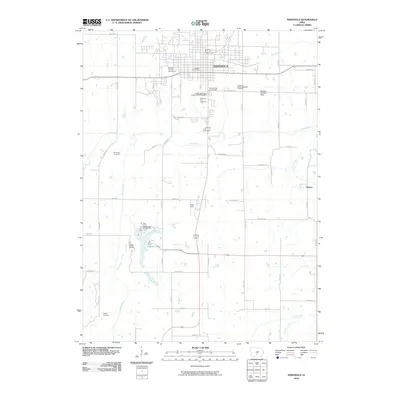
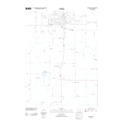
 1983 Indianola1983 Print · USGSIndianola and central Warren County are captured here in the early eighties, documenting the city's growth and its surrounding recreational lands. Genealogists and local historians can locate Simpson College, trace the Chicago and North Western rail line, or find family sites like Hewitt Cem and Browns Chapel.
 - 1983 Map of Martensdale, 1984 Print
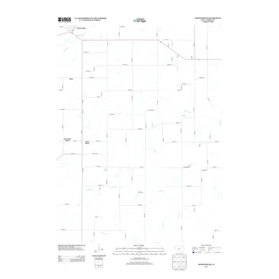
 1983 Martensdale1984 Print · USGSWarren County in the early eighties shows a landscape of steady agricultural communities linked by a dense network of township roads. Genealogists can trace family locations near St Marys, the Wallace Cem, and rural churches like Center Chapel.
 - 1984 Map of Indianola
 1984 Indianola1984 Print · USGSSouth-central Iowa in the mid-1980s reveals a patchwork of established rail hubs and significant new conservation areas. Trace the Chicago and North Western rail lines and explore rural landmarks like Lake Ahquabi State Park or the Strip Mine near Knoxville.
 - 2010 Map of Scotch Ridge, 2010 Print
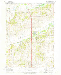
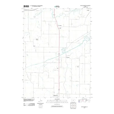 2010 Scotch Ridge2010 Print · USGSCovers Lincoln Township, including Des Moines, Indianola, and other nearby areas
 - 2010 Map of Hartford, 2010 Print
 2010 Hartford2010 Print · USGSCovers Lincoln Township, including Carlisle, Hartford, and other nearby areas
 - 2010 Map of Martensdale, 2010 Print
 2010 Martensdale2010 Print · USGSCovers Lincoln Township, including Martensdale, Saint Marys, and other nearby areas
 - 2010 Map of Indianola, 2010 Print
 2010 Indianola2010 Print · USGSCovers Lincoln Township, including Indianola, Otter Township, and other nearby areas
 - 2010 Map of Milo, 2010 Print
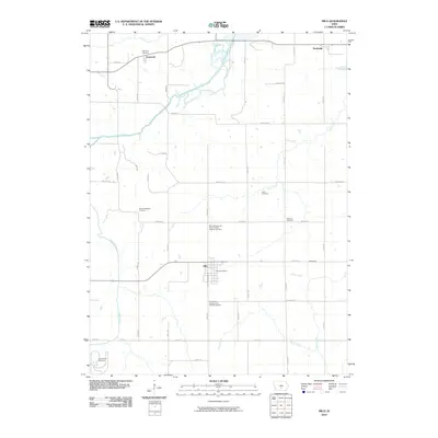 2010 Milo2010 Print · USGSCovers Lincoln Township, including Milo, Ackworth, and other nearby areas
 - 2010 Map of Norwalk, 2010 Print
 2010 Norwalk2010 Print · USGSCovers Lincoln Township, including Des Moines, West Des Moines, and other nearby areas
 - 2013 Map of Scotch Ridge, 2013 Print
 2013 Scotch Ridge2013 Print · USGSCovers Lincoln Township, including Des Moines, Indianola, and other nearby areas
 - 2013 Map of Indianola, 2013 Print
 2013 Indianola2013 Print · USGSCovers Lincoln Township, including Indianola, Otter Township, and other nearby areas
 - 2013 Map of Martensdale, 2013 Print
 2013 Martensdale2013 Print · USGSCovers Lincoln Township, including Martensdale, Saint Marys, and other nearby areas
 - 2013 Map of Milo, 2013 Print
 2013 Milo2013 Print · USGSCovers Lincoln Township, including Milo, Ackworth, and other nearby areas
 - 2013 Map of Hartford, 2013 Print
 2013 Hartford2013 Print · USGSCovers Lincoln Township, including Carlisle, Hartford, and other nearby areas
 - 2013 Map of Norwalk, 2013 Print
 2013 Norwalk2013 Print · USGSCovers Lincoln Township, including Des Moines, West Des Moines, and other nearby areas
Showing maps 1-25 of 43
Top cities near Lincoln Township
- Des Moines historical maps
- West Des Moines historical maps
- Urbandale historical maps
- Altoona historical maps
- Clive historical maps
- Indianola historical maps
See more
Top neighborhoods of Lincoln Township
Frequently asked questions
- What are the different types of historical maps available for Lincoln Township?
- What is the oldest map of Lincoln Township?
- Where can I purchase historical maps of Lincoln Township for my home or office?
- Where can I download high-res historical maps of Lincoln Township?
- Are there historical topographic maps available for Lincoln Township?
- Is there historical aerial imagery available for Lincoln Township?
- Where are historical maps of Lincoln Township sourced from?