Old Maps of Saxon, Iowa
Explore 12 old maps of Saxon, spanning from 1934 to today. These high-resolution historic maps reveal how streets, neighborhoods, landmarks, and natural features evolved over time — perfect for genealogy, metal detecting, research, and local history exploration.
What you can do with these maps:
- See how Saxon changed over time: Compare historical maps to modern-day views to trace roads, homesites, rail lines & more.
- View detailed metadata: Each map includes creators, publishers, year, scale, and archive source.
- Overlay maps with satellite & LiDAR: Visualize the past alongside modern tools to explore terrain & human change.
- Trusted historical sources: Maps sourced from the USGS, Library of Congress, and other archives.
- Access maps your way: View online, download high-res files, or order prints for personal or research use.
Start exploring old maps of Saxon to uncover forgotten places, hidden landmarks, and the deep history beneath your feet.
Saxon, IA maps
(12)- 1934 Map of Humeston
 1934 Humeston1934 Print · USGSSouthern Iowa farmland and small-town commerce define this 1930s landscape, where rail lines and river branches meet. Genealogists can trace family roots at Humeston and Corydon or locate rural landmarks like Eden Ch and the Wayne County Farm.3 unique versions available
 - 1937 Map of Corydon
 1937 Corydon1937 Print · USGSWayne County and the city of Corydon are captured in the mid-1930s, showing a landscape tightly organized around rail transport and rural education. Genealogists and historians can trace dozens of country schools and churches like Rabbit Ridge Sch, Brown Jug Sch, and Eden Ch.2 unique versions available
 - 1954 Map of Centerville, 1967 Print
 1954 Centerville1967 Print · USGSThe Iowa-Missouri borderlands at mid-century reveal a landscape shaped by river valleys and the height of the regional rail network. Genealogists and historians can trace the paths of the Wabash railroad and locate old townsites like Mystic, Moulton, and Greentop.3 unique versions available
 - 1957 Map of Centerville
 1957 Centerville1957 Print · USGSThe Iowa-Missouri borderlands in the mid-fifties reveal a landscape of river-valley agriculture and vital rail corridors. Genealogists and historians can trace family-named landmarks and small-town growth in Centerville, Kirksville, and along the Wabash railroad line.
 - 1958 Map of Centerville
 1958 Centerville1958 Print · USGSThe Iowa-Missouri borderlands come into focus during the mid-fifties, showing a landscape defined by river valleys and intersecting rail lines. Genealogists and local historians can trace family roots through dozens of rural hubs like Bloomfield, Unionville, and Corydon.
 - 1981 Map of Leon, 1982 Print
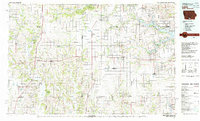 1981 Leon1982 Print · USGSSouthern Iowa and northern Missouri are captured here in the early eighties as the rural landscape balances traditional agriculture with large-scale water management. Researchers can trace the path of the Burlington Northern through Leon or locate early settlements like Decatur City and New Buda.
 - 1982 Map of Humeston, 1983 Print
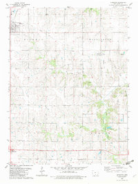 1982 Humeston1983 Print · USGSWayne County farming communities thrive in the early 1980s as the railroad era transitions to the recreational trail of The Cinder Path. Genealogists can locate several rural burial sites like Greenlee Cem and landmarks such as New Zion Ch.
 - 2010 Map of Humeston, 2010 Print
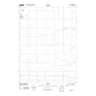 2010 Humeston2010 Print · USGSWayne County agricultural life is captured here in the early twenty-first century, showing the enduring grid of prairie townships and small settlements. Researchers can trace family history through numerous burial grounds like Rush Cemetery and locate the civic heart of the area at the Humeston Post Office.
 - 2013 Map of Humeston, 2013 Print
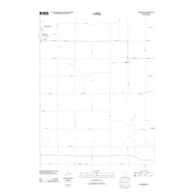 2013 Humeston2013 Print · USGSWayne County farming communities thrive in the early twenty-first century amidst a network of prairie creeks and country roads. Genealogists and researchers can trace local landmarks from Humeston and Cambria to the S Fork Chariton River.
 - 2015 Map of Humeston, 2015 Print
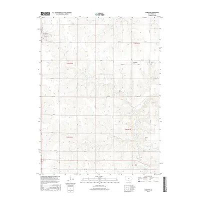 2015 Humeston2015 Print · USGSWayne County, Iowa, is shown in the mid-2010s as a well-ordered agricultural landscape centered on the town of Humeston. Family historians can locate several rural burial sites like Kirby Cem and Rush Cem near the banks of the S Fork Chariton River.
 - 2018 Map of Humeston, 2018 Print
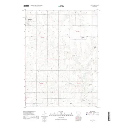 2018 Humeston2018 Print · USGSWayne County's agricultural heartland is documented here in the late twenty-tens, centered on the town of Humeston. Researchers can trace local lineage through numerous rural burial sites like Rush Cem and Greenlee Cem or follow the path of the S Fork Chariton River.
 - 2022 Map of Humeston, 2022 Print
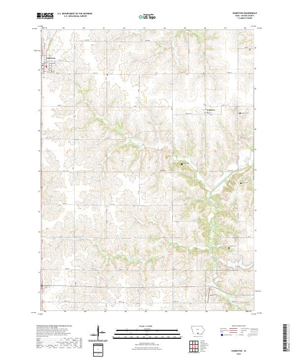 2022 Humeston2022 Print · USGSWayne County's agricultural heartland is documented here in the early twenty-first century, centered on the grid of Humeston. Local historians can trace family ties at Cambria Cem, Rush Cem, or Greenlee Cem along the S Fork Chariton River.
End of results
Showing maps 1-12 of 12
Top cities near Saxon
- Corydon historical maps
- Humeston historical maps
- Allerton historical maps
- Lineville historical maps
- Garden Grove historical maps
- Derby historical maps
See more
Frequently asked questions
- What are the different types of historical maps available for Saxon?
- What is the oldest map of Saxon?
- Where can I purchase historical maps of Saxon for my home or office?
- Where can I download high-res historical maps of Saxon?
- Are there historical topographic maps available for Saxon?
- Is there historical aerial imagery available for Saxon?
- Where are historical maps of Saxon sourced from?