Old Maps of Belmond, Iowa for Metal Detecting
Plan your next treasure hunt with 15 historic maps of Belmond. Find old homesites, ghost towns, trails, and gathering spots that may be lost to time — perfect for identifying promising metal detecting locations.
- Locate forgotten sites: Uncover places like long-lost settlements, abandoned rail lines, or gathering spots.
- Plan better hunts: Use map overlays combined with LiDAR or satellite views to narrow in on historically rich areas.
- Made for detectorists: Thousands of hobbyists use these maps to discover relics, coins, and hidden history.
Use these historic maps to boost your research and find new opportunities beneath the surface of Belmond.
Belmond, IA maps
(15)- 1954 Map of Waterloo, 1968 Print
 1954 Waterloo1968 Print · USGSCentral Iowa at the height of its mid-century agricultural and rail boom features the growing hubs of Waterloo and Cedar Falls. Genealogists and researchers can trace the rail corridors of the Chicago Great Western and find local landmarks like Iowa State College and Brushy Ridge.4 unique versions available
 - 1955 Map of Waterloo
 1955 Waterloo1955 Print · USGSCentral Iowa in the mid-fifties presents a dense landscape of rail-connected farming towns and growing river cities. Researchers can trace ancestral roots and old transport routes through Waterloo, Marshalltown, and Ames, while locating rural Cemeteries and local Quarries.2 unique versions available
 - 1972 Map of Cornelia, 1975 Print
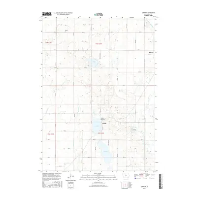
 1972 Cornelia1975 Print · USGSWright County as it appeared in the early 1970s shows a landscape of conservation lakes and rural townships. Researchers can trace family history at Ringsaker Cem and St Olaf Ch, or locate old rail stops along the Chicago and North Western near Cornelia.
 - 1972 Map of Belmond, 1975 Print
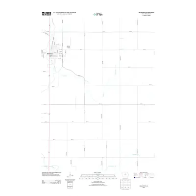
 1972 Belmond1975 Print · USGSBelmond sits at a vital railroad crossroads in the early 1970s, where the East Branch Iowa River flows through the Iowa heartland. Local historians can trace family roots at St Francis Cem or follow the legacy of the Chicago and North Western rail line.
 - 1984 Map of Iowa Falls, 1985 Print
 1984 Iowa Falls1985 Print · USGSNorth-central Iowa is documented here during the mid-eighties, showing a landscape of traditional rail towns and extensive wildlife management areas. Researchers can trace family history through settlements like Belmond, Dows, and Ackley, or locate landmarks like Beeds Lake State Park.2 unique versions available
 - 2010 Map of Cornelia, 2010 Print
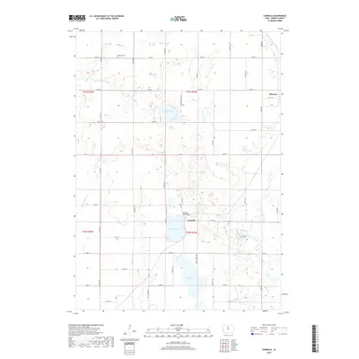
 2010 Cornelia2010 Print · USGSCovers Belmond, including Cornelia, Wright County, and other nearby areas
 - 2010 Map of Belmond, 2010 Print
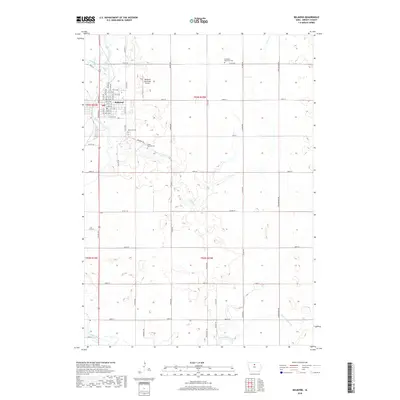
 2010 Belmond2010 Print · USGSCovers Belmond, including Wright County, United States, and other nearby areas
 - 2013 Map of Belmond, 2013 Print
 2013 Belmond2013 Print · USGSCovers Belmond, including Wright County, United States, and other nearby areas
 - 2013 Map of Cornelia, 2013 Print
 2013 Cornelia2013 Print · USGSCovers Belmond, including Cornelia, Wright County, and other nearby areas
 - 2015 Map of Cornelia, 2015 Print
 2015 Cornelia2015 Print · USGSCovers Belmond, including Cornelia, Wright County, and other nearby areas
 - 2015 Map of Belmond, 2015 Print
 2015 Belmond2015 Print · USGSCovers Belmond, including Wright County, United States, and other nearby areas
 - 2018 Map of Cornelia, 2018 Print
 2018 Cornelia2018 Print · USGSCovers Belmond, including Cornelia, Wright County, and other nearby areas
 - 2018 Map of Belmond, 2018 Print
 2018 Belmond2018 Print · USGSCovers Belmond, including Wright County, United States, and other nearby areas
 - 2022 Map of Cornelia, 2022 Print
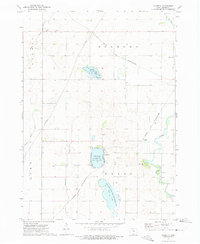
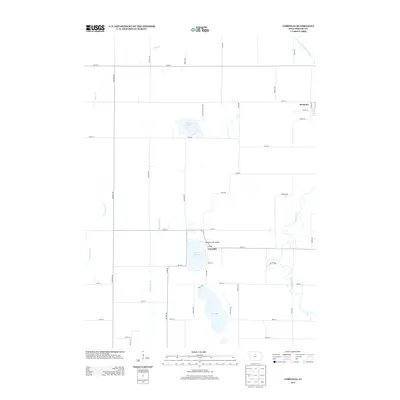
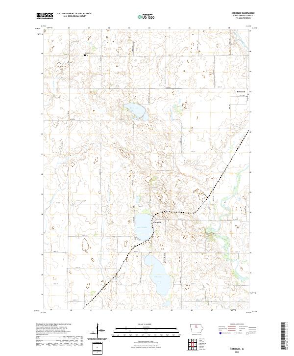 2022 Cornelia2022 Print · USGSWright County’s prairie pothole region comes into focus in this recent survey, centered on the lakes and drainage creeks south of Belmond. Researchers can trace local landmarks like Ringsaker Cem and the small settlement of Cornelia between Lake Cornelia and Elm Lake.
 - 2022 Map of Belmond, 2022 Print
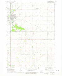
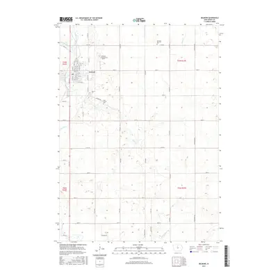
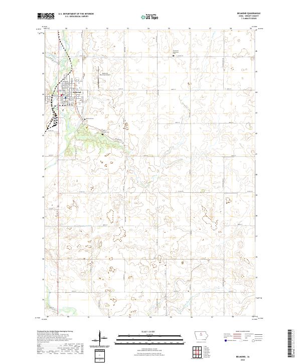 2022 Belmond2022 Print · USGSBelmond's riverfront and surrounding Wright County farmsteads are captured here in the early twenty-first century. Researchers can map family plots at Immanuel Reformed Cem or trace the waterways of Luicks Cr and the Iowa River.
End of results
Showing maps 1-15 of 15
Top cities near Belmond
- Clarion historical maps
- Kanawha historical maps
- Dows historical maps
- Klemme historical maps
- Thornton historical maps
- Meservey historical maps
See more
Frequently asked questions
- What are the different types of historical maps available for Belmond?
- What is the oldest map of Belmond?
- Where can I purchase historical maps of Belmond for my home or office?
- Where can I download high-res historical maps of Belmond?
- Are there historical topographic maps available for Belmond?
- Is there historical aerial imagery available for Belmond?
- Where are historical maps of Belmond sourced from?