Old Maps of Douglass, Kansas for Genealogy
Trace your family roots with 21 historic maps of Douglass. These high-res maps reveal old neighborhoods, homesites, landmarks, and streets — helping you uncover where your ancestors lived and how the area evolved over time.
- Explore historic neighborhoods: Identify where your relatives may have lived in the 1800s or 1900s.
- Compare maps over time: Trace the changes in streets, buildings, and landmarks for multi-generational research.
- Perfect for genealogy & ancestry research: Used by family historians and researchers to map out lineage and migration.
These maps are an incredible resource for exploring your personal connection to Douglass's past.
Douglass, KS maps
(21)- 1888 Map of Eldorado
 1888 Eldorado1888 Print · USGSButler County in the late 1880s is defined by a rapidly expanding rail network centered on El Dorado and Augusta. Genealogists and historians can trace early prairie settlements and vanished railroad stops like Schonholm, Keighley, and Haverhill.6 unique versions available
 - 1889 Map of Wichita
 1889 Wichita1889 Print · USGSWichita and its surrounding townships thrived as a rail-driven boomtown in the late nineteenth century. Genealogists can trace family footprints through early settlements like Oatville, Valley Center, and Douglass along the Arkansas River.
 - 1894 Map of Wichita
 1894 Wichita1894 Print · USGSWichita and the surrounding prairie are captured here during the height of the Victorian era's railroad boom. Genealogists and historians can trace the early development of Wichita and find vanished stations and rural townships like Indianola, Oatville, and Green Station.5 unique versions available
 - 1955 Map of Douglass, 1956 Print
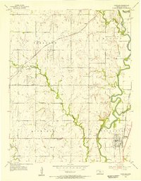 1955 Douglass1956 Print · USGSThe Butler County countryside in the mid-1950s reveals a landscape shaped by the Walnut River and the busy Atchison Topeka and Santa Fe rail line. Researchers can trace rural genealogy through landmarks like Richland Cem, Floral Sch, and the small community at Salter.4 unique versions available
 - 1955 Map of Wichita, 1959 Print
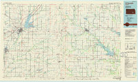
 1955 Wichita1959 Print · USGSSouth-central Kansas comes alive in the mid-1950s as Wichita grows into its role as a regional industrial and military powerhouse. Trace the rail-and-river network connecting El Dorado and Arkansas City through the Atchison Topeka and Santa Fe lines.3 unique versions available
 - 1958 Map of Wichita
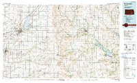
 1958 Wichita1958 Print · USGSSouth Central Kansas in the late fifties was a landscape of aviation industry, oil exploration, and expanding turnpikes. Researchers can trace mid-century growth through McConnell Air Force Base, major facilities for Cessna Aircraft Company, and the active El Dorado Oil Field.
 - 1961 Map of Gordon, 1962 Print
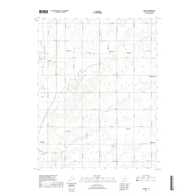
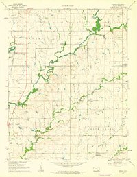 1961 Gordon1962 Print · USGSButler County farmland in the early 1960s is defined by the winding Little Walnut River and the rural railroad village of Gordon. Genealogists and historians can trace the foundations of these communities through landmarks like Cumberland Ch, Douglass Cemetery, and the hamlet of Smileyberg.3 unique versions available
 - 1985 Map of El Dorado
 1985 El Dorado1985 Print · USGSThe Flint Hills region of Kansas was a hub of energy and rail transit in the mid-eighties, anchored by the expansion of El Dorado Lake. Researchers can trace the Indian Treaty Boundary and locate small communities like Sallyards, Pickrell Corner, and Oil Hill.
 - 1985 Map of Wichita
 1985 Wichita1985 Print · USGSThe mid-1980s landscape of the Wichita metro area is captured here during a peak era for the local aviation industry. Researchers can trace the sprawling rail network of the Santa Fe and Frisco or locate family landmarks at White Chapel Cem and Cheney Reservoir.
 - 1990 Map of El Dorado
 1990 El Dorado1990 Print · USGSButler and Greenwood counties are shown here in the early nineties, featuring a landscape defined by the Walnut River basin and the Kansas Turnpike corridor. Researchers can trace the rail lines of the AT & SF RR and locate smaller settlements such as Midian, Smileyberg, and Pickrell Corner.
 - 1990 Map of Wichita
 1990 Wichita1990 Print · USGSThe Wichita metropolitan area and its surrounding agricultural plains are captured in the late twentieth century, showing a landscape defined by rapid suburban expansion and massive water projects. Genealogists can locate family landmarks in small towns like Garden Plain and Clonmel, or trace the development around Cheney Reservoir and McConnell Air Force Base.
 - 2009 Map of Douglass, 2009 Print
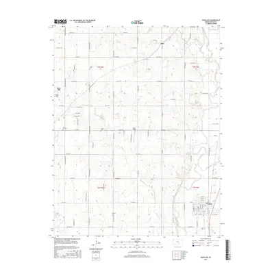
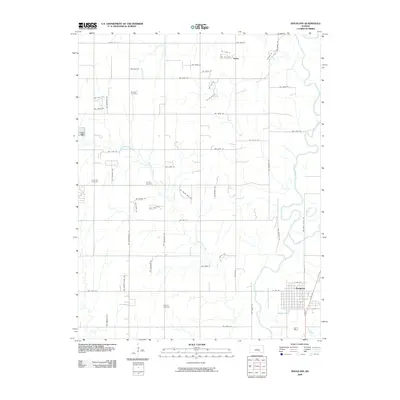 2009 Douglass2009 Print · USGSCovers Douglass, including Rose Hill, Salter, and other nearby areas
 - 2009 Map of Gordon, 2009 Print
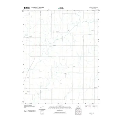 2009 Gordon2009 Print · USGSCovers Douglass, including Gordon, Bois d' Arc, and other nearby areas
 - 2012 Map of Gordon, 2012 Print
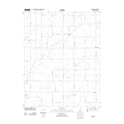 2012 Gordon2012 Print · USGSCovers Douglass, including Gordon, Bois d' Arc, and other nearby areas
 - 2012 Map of Douglass, 2012 Print
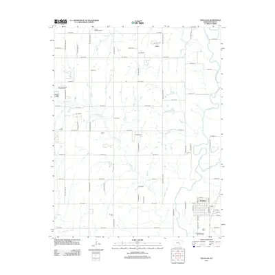 2012 Douglass2012 Print · USGSCovers Douglass, including Rose Hill, Salter, and other nearby areas
 - 2015 Map of Douglass, 2015 Print
 2015 Douglass2015 Print · USGSCovers Douglass, including Rose Hill, Salter, and other nearby areas
 - 2015 Map of Gordon, 2015 Print
 2015 Gordon2015 Print · USGSCovers Douglass, including Gordon, Bois d' Arc, and other nearby areas
 - 2018 Map of Douglass, 2018 Print
 2018 Douglass2018 Print · USGSCovers Douglass, including Rose Hill, Salter, and other nearby areas
 - 2018 Map of Gordon, 2018 Print
 2018 Gordon2018 Print · USGSCovers Douglass, including Gordon, Bois d' Arc, and other nearby areas
 - 2022 Map of Gordon, 2022 Print
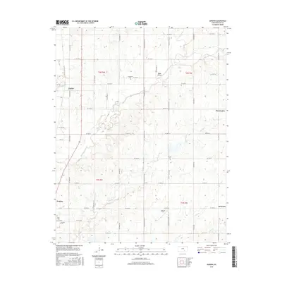
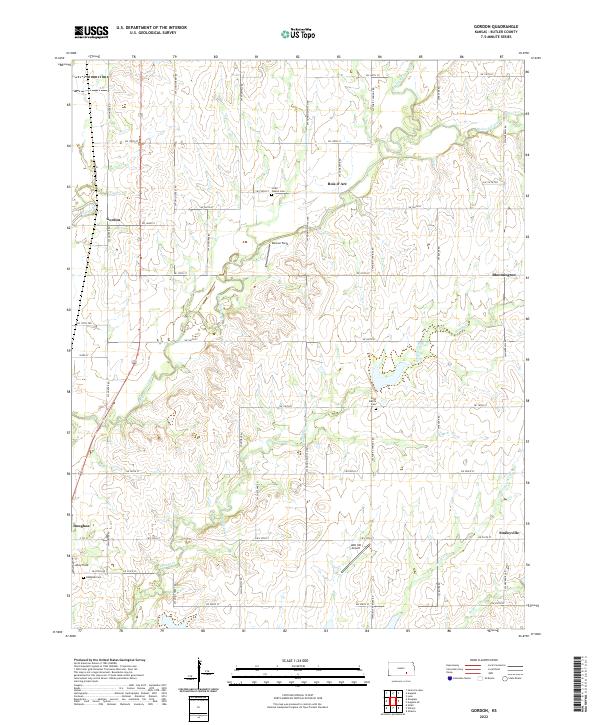 2022 Gordon2022 Print · USGSButler County's agricultural heartland is captured here in the early 2020s, showing a landscape defined by the winding Little Walnut River and long-standing rural townships. Researchers can pinpoint historic family plots at High Prairie Cem or trace the early foundations of Bois d' Arc and Smileyville.
 - 2022 Map of Douglass, 2022 Print
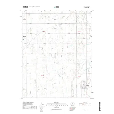
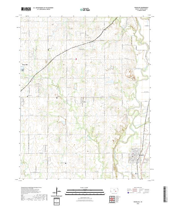 2022 Douglass2022 Print · USGSThe Walnut River valley of Butler County is captured here in the early 2020s, showing the agricultural grid and river confluences. Family historians can locate several rural burial sites like Richland Cemetery and Friends Cemetery or trace the environs of Douglass and Rose Hill.
End of results
Showing maps 1-21 of 21
Top cities near Douglass
- Wichita historical maps
- Derby historical maps
- Winfield historical maps
- Andover historical maps
- Augusta historical maps
- Mulvane historical maps
See more
Frequently asked questions
- What are the different types of historical maps available for Douglass?
- What is the oldest map of Douglass?
- Where can I purchase historical maps of Douglass for my home or office?
- Where can I download high-res historical maps of Douglass?
- Are there historical topographic maps available for Douglass?
- Is there historical aerial imagery available for Douglass?
- Where are historical maps of Douglass sourced from?